Old Maps of Tapoco, North Carolina for Metal Detecting
Plan your next treasure hunt with 14 historic maps of Tapoco. Find old homesites, ghost towns, trails, and gathering spots that may be lost to time — perfect for identifying promising metal detecting locations.
- Locate forgotten sites: Uncover places like long-lost settlements, abandoned rail lines, or gathering spots.
- Plan better hunts: Use map overlays combined with LiDAR or satellite views to narrow in on historically rich areas.
- Made for detectorists: Thousands of hobbyists use these maps to discover relics, coins, and hidden history.
Use these historic maps to boost your research and find new opportunities beneath the surface of Tapoco.
Tapoco, NC maps
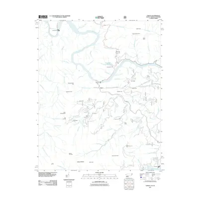
(14)- 1935 Map of Tapoco
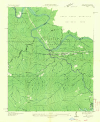 1935 Tapoco1935 Print · USGSThe border of North Carolina and Tennessee comes alive in the 1930s as massive hydroelectric projects reshape the high country. Trace the early Appalachian Trail through Deals Gap alongside industrial landmarks like Cheoah Dam and Tapoco.
 - 1940 Map of Tapoco, 1956 Print
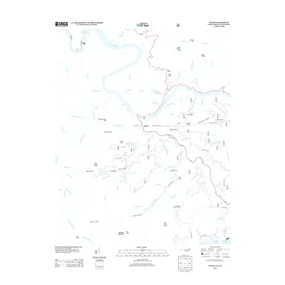
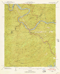 1940 Tapoco1956 Print · USGSThe Tennessee and North Carolina borderlands come alive in the 1940s as hydroelectric power and federal forest conservation reshape the mountains. Trace historic family sites and early infrastructure including Orr Cemetery, Beers School, and the Calderwood Dam.5 unique versions available
 - 1941 Map of Tapoco
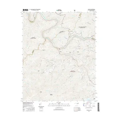
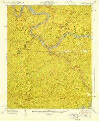 1941 Tapoco1941 Print · USGSThe Little Tennessee River border between North Carolina and Tennessee is captured here during the 1940s buildup of hydroelectric power. Genealogists and hikers can trace the Appalachian Trail through Deals Gap or locate remote sites like Beers Sch and Orr Cem.
 - 1955 Map of Knoxville
 1955 Knoxville1955 Print · USGSThe Southern Appalachians and the Smoky Mountains are shown here at a peak of mid-century development and conservation. Genealogists and historians can trace the early road networks connecting Gatlinburg, Waynesville, and the Cherokee Indian Reservation across the high ridges.
 - 1957 Map of Knoxville, 1966 Print
 1957 Knoxville1966 Print · USGSThe Southern Appalachians of Tennessee and North Carolina are mapped here during the mid-twentieth century as new highways reached the high country. Genealogists and historians can trace the topography between Knoxville and Asheville, locating family landmarks near Fontana Lake or along the Blue Ridge Parkway.4 unique versions available
 - 1960 Map of Knoxville
 1960 Knoxville1960 Print · USGSThe Southern Appalachians come alive in the 1950s, showing the intersection of new national park tourism and deep-rooted mountain industry. Trace old rail lines like the Clinchfield RR and find high-altitude landmarks from Mt Le Conte to the Cherokee Indian Reservation.2 unique versions available
 - 1964 Map of Knoxville
 1964 Knoxville1964 Print · USGSThe Southern Appalachians and Great Smokies are captured here during the mid-sixties, showing the rugged borderlands of Tennessee and North Carolina. Researchers can trace historic mountain routes like U S 441, the expanse of Pisgah National Forest, and the growing footprints of Asheville and Knoxville.
 - 1983 Map of Fontana Lake
 1983 Fontana Lake1983 Print · USGSWestern North Carolina's high peaks and reservoir-carved valleys are documented here during the early eighties. Genealogists and local historians can trace the mountain communities of Bryson City and Franklin or explore the boundaries of the Qualla Boundary.2 unique versions available
 - 2000 Map of Tapoco, 2001 Print
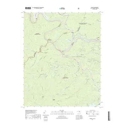
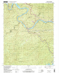 2000 Tapoco2001 Print · USGSThe North Carolina-Tennessee borderlands appear here just as the new millennium began, dominated by the dams and wilderness of the Great Smoky Mountains. Trace the routes of hydroelectric development at Che Oah Dam or find local landmarks like Bethel Ch and Beers Sch.
 - 2011 Map of Tapoco, 2011 Print
 2011 Tapoco2011 Print · USGSCovers Tapoco, including Twenty Mile, Jenkins Meadow, and other nearby areas
 - 2013 Map of Tapoco, 2013 Print
 2013 Tapoco2013 Print · USGSCovers Tapoco, including Twenty Mile, Jenkins Meadow, and other nearby areas
 - 2016 Map of Tapoco, 2016 Print
 2016 Tapoco2016 Print · USGSCovers Tapoco, including Twenty Mile, Jenkins Meadow, and other nearby areas
 - 2019 Map of Tapoco, 2019 Print
 2019 Tapoco2019 Print · USGSCovers Tapoco, including Twenty Mile, Jenkins Meadow, and other nearby areas
 - 2022 Map of Tapoco, 2022 Print
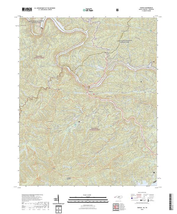 2022 Tapoco2022 Print · USGSThe North Carolina-Tennessee borderlands appear here in the early twenty-first century, centered on the river junction at Tapoco. Historians can trace old river crossings at Rhymers Ferry and local heritage sites like Farley Cem and the Mtn View School.
End of results
Showing maps 1-14 of 14
Top cities near Tapoco
- Greenback historical maps
- Robbinsville historical maps
- Townsend historical maps
- Lake Santeetlah historical maps
- Fontana Dam historical maps
Frequently asked questions
- What are the different types of historical maps available for Tapoco?
- What is the oldest map of Tapoco?
- Where can I purchase historical maps of Tapoco for my home or office?
- Where can I download high-res historical maps of Tapoco?
- Are there historical topographic maps available for Tapoco?
- Is there historical aerial imagery available for Tapoco?
- Where are historical maps of Tapoco sourced from?