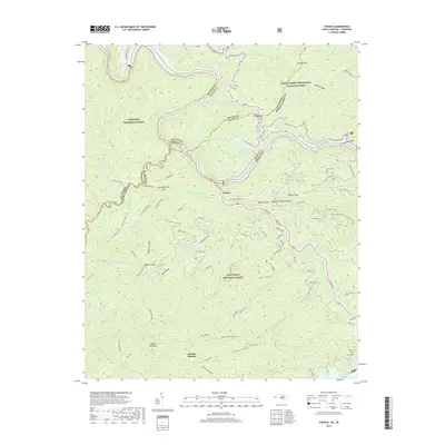
2019 Map of Tapoco
USGS Topo · Published 2019About this map
The Little Tennessee River and Cheoah River converge near Tapoco, forming a landscape defined by dramatic elevation changes at the intersection of Graham, Swain, and Blount counties. This 2019 survey documents a wilderness region managed by three different federal agencies, including the Great Smoky Mountains National Park and the Nantahala National Forest. The geography is marked by numerous family-named landmarks and historical crossing points such as Rhymers Ferry and Deals Gap. Genealogists may find particular value in the several small burial sites noted on these slopes, including Farley Cem and the Odom Cem. The map traces long-established routes through the mountains, from the Stiffknee Trail to the prominent ridges of Caney Lead and Haoe Lead, showing how topographic features like Big Fat Gap and Bearpen Gap continue to dictate the movement of people through these high-elevation borderlands.
Find a feature on this map
109 named features on this map. Tap any name to fly to it.
Don’t see what you’re looking for? This feature index may not catch every label — zoom into the map to look around manually.
Map Details
Editions of this 2019 Tapoco Map
This is the sole edition of this map. No revisions or reprints were ever made.
Other maps of this area
1886 · Knoxville
USGS Topo · 1:125,000
1892 · Knoxville
USGS Topo · 1:125,000
1893 · Murphy
USGS Topo · 1:125,000
1894 · Knoxville
USGS Topo · 1:125,000
1895 · Loudon
USGS Topo · 1:125,000
1895 · Knoxville
USGS Topo · 1:125,000
1901 · Knoxville
USGS Topo · 1:125,000
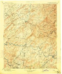
1914 · Murphy
USGS Topo · 1:125,000
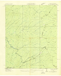
1927 · Big Junction
USGS Topo · 1:24,000

1933 · Haw Knob
USGS Topo · 1:48,000