1970s Maps of Halifax County, North Carolina
Explore 19 historic maps of Halifax County from the 1970s. These maps offer a rare glimpse into what life looked like during the 1970s — showing old roads, neighborhoods, homes, and landmarks that have changed or disappeared over time.
Whether you're researching your family's past, planning a metal detecting trip, or studying how Halifax County's landscape evolved across the 1970s, these high-resolution maps are a powerful tool for exploring the history of this region.
- Focus on a specific era: All maps on this page are from the 1970s, giving you a focused view of this time period.
- See what’s changed: Compare century-old streets, trails, and buildings to today's modern landscape using overlays and satellite layers.
- Research with precision: Use these maps for genealogy, historical research, land use analysis, or educational projects.
- View, download, or print: Maps are fully viewable online in high resolution, and can be downloaded or printed for your own records.
Start exploring Halifax County's history through authentic maps from the 1970s. This is your window into the past.
Halifax County, NC maps
(19)- 1972 Map of Woodville, 1976 Print
 1972 Woodville1976 Print · USGSBertie County in the early 1970s is a landscape of expansive wetlands and small railroad towns. Genealogists and historians can trace the footprint of rural communities through sites like Bond Sch, Spring Hill Ch, and the SCL RR rail line.
 - 1973 Map of Aurelian Springs, 1977 Print
 1973 Aurelian Springs1977 Print · USGSHalifax County, North Carolina, is depicted here in the early 1970s as a landscape of rural crossroads and extensive wetlands. Genealogists can trace family roots through numerous country churches like Tabor Ch, Antioch Ch, and the community at Heathsville.
 - 1973 Map of Hollister, 1977 Print
 1973 Hollister1977 Print · USGSThe rural borderlands of Halifax and Warren Counties come into focus in the early 1970s, showing a landscape defined by creeks and country roads. Genealogists can locate family landmarks like White Rock Ch, Lees Chapel, and the timber-era remnants of the Porter Grade.
 - 1973 Map of Thelma, 1977 Print
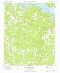 1973 Thelma1977 Print · USGSHalifax County is seen here in the 1970s as the Roanoke River reservoir system shaped the local landscape. Family historians can trace small rural communities like Summit and Gretna Green or locate churches such as Hawkins Chapel and Babbitts Chapel.2 unique versions available
 - 1973 Map of Littleton, 1977 Print
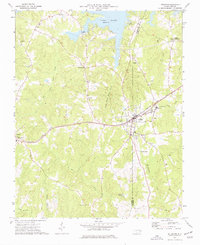 1973 Littleton1977 Print · USGSThe border of Warren and Halifax Counties in the early 1970s is captured here as the Seaboard Coast Line passes through several rural communities. Researchers can trace the layout of Littleton, find Panacea Springs, and locate country churches like Ashley Grove Ch.
 - 1974 Map of Halifax, 1977 Print
 1974 Halifax1977 Print · USGSCoastal plain life in the mid-1970s is centered on the river bend and rail lines of the Roanoke valley. Genealogists and historians can trace local landmarks like Little Zion Ch, the settlement at Mud Castle, and the sprawling Occoneechee Neck.
 - 1974 Map of Boones Crossroads, 1977 Print
 1974 Boones Crossroads1977 Print · USGSNorthampton and Halifax counties are shown here in the mid-seventies, defined by the winding Roanoke River and its vast swamp networks. Trace the legacy of rural communities at Boones Crossroads or find old family landmarks near Parker Chapel and Tillery.
 - 1974 Map of Roanoke Rapids, 1977 Print
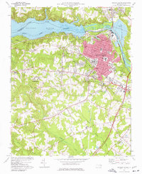 1974 Roanoke Rapids1977 Print · USGSRoanoke Rapids and the surrounding Halifax County countryside are captured here in the mid-seventies during a period of industrial and suburban growth. Researchers can trace the development of local schools and churches or locate the Roanoke Rapids Air Force Station and the Chantilly Speedway.2 unique versions available
 - 1974 Map of Weldon, 1977 Print
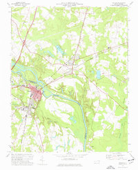 1974 Weldon1977 Print · USGSWeldon and Garysburg straddle the Roanoke River during the mid-seventies, a time when rail lines and textile-era infrastructure still defined the landscape. Genealogists and local historians can trace family sites at Cedarwood Cemetery, Gumberry School, and Oak Ridge Church.
 - 1974 Map of Darlington, 1977 Print
 1974 Darlington1977 Print · USGSCoastal plain North Carolina in the mid-seventies shows a landscape of rural crossroads and persistent swamp networks. Genealogists can trace family connections through numerous local landmarks like Smith Chapel, Allen Grove, and Andersons Crossroads.
 - 1975 Map of Roanoke Rapids, 1979 Print
 1975 Roanoke Rapids1979 Print · USGSThe Roanoke Valley's industrial and agricultural landscape is captured in this mid-seventies aerial survey of Halifax County. Local historians can trace the detailed street grids and land parcels of Roanoke Rapids, Weldon, and the outlying settlement of Rheasville.
 - 1976 Map of Valentines, 1979 Print
 1976 Valentines1979 Print · USGSSpanning the Virginia and North Carolina border in the mid-seventies, this orthophoto captures the rural landscape as Lake Gaston reshaped the southern terrain. Researchers can identify precise field patterns and wooded tracts surrounding Valentines and Triplet.
 - 1976 Map of Halifax, 1979 Print
 1976 Halifax1979 Print · USGSCoastal plain farmland and river bottomlands define this Halifax County landscape during the mid-seventies. Genealogists and local historians can trace the footprint of rural settlements like Pender and Ruggles along the banks of the Roanoke River.
 - 1976 Map of Weldon, 1979 Print
 1976 Weldon1979 Print · USGSThe Roanoke River corridor comes into sharp focus in the mid-1970s through this aerial orthophotoquad of Halifax County. Researchers can trace the exact footprint of settlements like Garysburg, Weldon, and South Weldon against the surrounding farmland.
 - 1976 Map of Thelma, 1979 Print
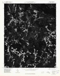 1976 Thelma1979 Print · USGSThe Roanoke River valley and the shores of Lake Gaston are captured in this mid-seventies photographic survey. Genealogists and researchers can trace rural settlements at Thelma, Summit, and Hinnant Crossroads.
 - 1977 Map of Boones Crossroads, 1979 Print
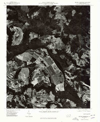 1977 Boones Crossroads1979 Print · USGSNorthampton County in the late seventies is captured in this detailed aerial study of the river-bottom landscape. Genealogists and local historians can pinpoint family farmsteads and old communities like Rehoboth, Hillery, and Boones Crossroads.
 - 1977 Map of Littleton, 1979 Print
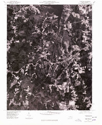 1977 Littleton1979 Print · USGSThe town of Littleton and the southern shores of Lake Gaston are captured in this late-seventies aerial survey of the North Carolina interior. Genealogists and historians can examine the precise layout of Littleton and nearby Vaughan or trace the timberlines near Enterprise.
 - 1977 Map of Gasburg, 1979 Print
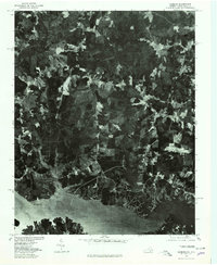 1977 Gasburg1979 Print · USGSThe Virginia and North Carolina borderlands come into focus in the late seventies as reservoir living begins to shape the rural landscape. Researchers can trace land use patterns around Lake Gaston and the settlements of Gasburg and Ebony.
 - 1978 Map of Centerville, 1979 Print
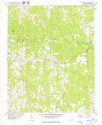 1978 Centerville1979 Print · USGSThe Franklin and Warren County borderlands appear here in the late seventies as a landscape of winding creeks and rural crossroads. Local historians can trace the foundations of these communities through landmarks like Fork Chapel, Wester Ch, and the settlement of Wood.
End of results
Showing maps 1-19 of 19
Top cities of Halifax County
- Roanoke Rapids historical maps
- South Rosemary historical maps
- Enfield historical maps
- Scotland Neck historical maps
- Weldon historical maps
- South Weldon historical maps
See more
Frequently asked questions
- What are the different types of historical maps available for Halifax County?
- What is the oldest map of Halifax County?
- Where can I purchase historical maps of Halifax County for my home or office?
- Where can I download high-res historical maps of Halifax County?
- Are there historical topographic maps available for Halifax County?
- Is there historical aerial imagery available for Halifax County?
- Where are historical maps of Halifax County sourced from?