Old Maps of Allen Grove, North Carolina for Metal Detecting
Plan your next treasure hunt with 9 historic maps of Allen Grove. Find old homesites, ghost towns, trails, and gathering spots that may be lost to time — perfect for identifying promising metal detecting locations.
- Locate forgotten sites: Uncover places like long-lost settlements, abandoned rail lines, or gathering spots.
- Plan better hunts: Use map overlays combined with LiDAR or satellite views to narrow in on historically rich areas.
- Made for detectorists: Thousands of hobbyists use these maps to discover relics, coins, and hidden history.
Use these historic maps to boost your research and find new opportunities beneath the surface of Allen Grove.
Allen Grove, NC maps
(9)- 1953 Map of Norfolk, 1954 Print
 1953 Norfolk1954 Print · USGSCoastal Virginia and northeastern North Carolina appear here during the post-war industrial boom, showing the critical rail-and-sea connections of Hampton Roads. Genealogists can trace family roots through rural landmarks like Gethsemane Ch, the Caledonia State Prison Farm, and the vast interior of the Dismal Swamp.4 unique versions available
 - 1974 Map of Darlington, 1977 Print
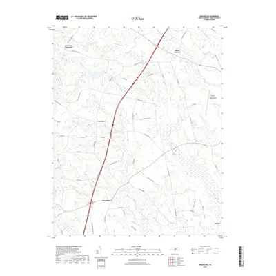
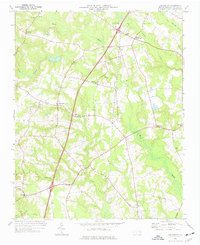 1974 Darlington1977 Print · USGSCoastal plain North Carolina in the mid-seventies shows a landscape of rural crossroads and persistent swamp networks. Genealogists can trace family connections through numerous local landmarks like Smith Chapel, Allen Grove, and Andersons Crossroads.
 - 1985 Map of Roanoke Rapids
 1985 Roanoke Rapids1985 Print · USGSNorthern North Carolina's river-driven economy is on display here in the mid-1980s, from the hydro-power at Roanoke Rapids to the rural millponds. Genealogists can trace family lands near Wiccacanee Pond, Mush Island, or the remote Urahaw Swamp.2 unique versions available
 - 1998 Map of Darlington, 2000 Print
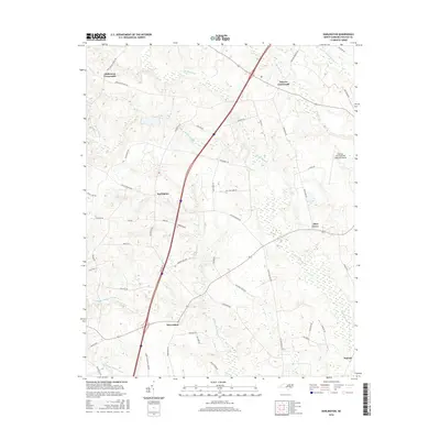
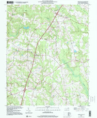 1998 Darlington2000 Print · USGSHalifax County at the turn of the millennium remains a landscape of historic crossroads and sprawling wetlands. Genealogists and local historians can trace legacy community centers like Darlington, the Pittman Sch, and Pleasant Hill Ch among the reaches of Beaverdam Swamp.
 - 2010 Map of Darlington, 2010 Print
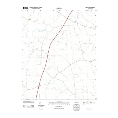 2010 Darlington2010 Print · USGSCovers Allen Grove, including Delmar, Beaverdam, and other nearby areas
 - 2013 Map of Darlington, 2013 Print
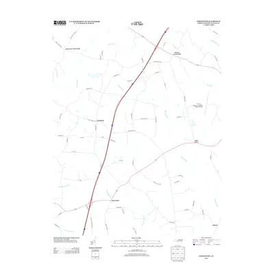 2013 Darlington2013 Print · USGSCovers Allen Grove, including Delmar, Beaverdam, and other nearby areas
 - 2016 Map of Darlington, 2016 Print
 2016 Darlington2016 Print · USGSCovers Allen Grove, including Delmar, Beaverdam, and other nearby areas
 - 2019 Map of Darlington, 2019 Print
 2019 Darlington2019 Print · USGSCovers Allen Grove, including Delmar, Beaverdam, and other nearby areas
 - 2022 Map of Darlington, 2022 Print
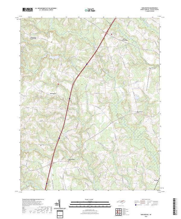 2022 Darlington2022 Print · USGSHalifax County, North Carolina, maintains its rural character in the early 2020s, shaped by an intricate network of lowland swamps. Trace local family history and road networks through Darlington, Andersons Crossroads, and the winding banks of Marsh Swamp.
End of results
Showing maps 1-9 of 9
Top cities near Allen Grove
- Roanoke Rapids historical maps
- Red Oak historical maps
- South Rosemary historical maps
- Enfield historical maps
- Scotland Neck historical maps
- Weldon historical maps
See more
Frequently asked questions
- What are the different types of historical maps available for Allen Grove?
- What is the oldest map of Allen Grove?
- Where can I purchase historical maps of Allen Grove for my home or office?
- Where can I download high-res historical maps of Allen Grove?
- Are there historical topographic maps available for Allen Grove?
- Is there historical aerial imagery available for Allen Grove?
- Where are historical maps of Allen Grove sourced from?