2000s (21st Century) Maps of Raeford, North Carolina
Explore 12 historic maps of Raeford from the 2000s (21st Century). These maps offer a rare glimpse into what life looked like during the 2000s — showing old roads, neighborhoods, homes, and landmarks that have changed or disappeared over time.
Whether you're researching your family's past, planning a metal detecting trip, or studying how Raeford's landscape evolved across the 2000s, these high-resolution maps are a powerful tool for exploring the history of this region.
- Focus on a specific era: All maps on this page are from the 2000s, giving you a focused view of this time period.
- See what’s changed: Compare century-old streets, trails, and buildings to today's modern landscape using overlays and satellite layers.
- Research with precision: Use these maps for genealogy, historical research, land use analysis, or educational projects.
- View, download, or print: Maps are fully viewable online in high resolution, and can be downloaded or printed for your own records.
Start exploring Raeford's history through authentic maps from the 2000s. This is your window into the past.
Raeford, NC maps
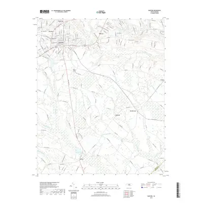
(12)- 2002 Map of Wagram
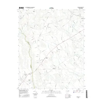
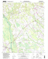 2002 Wagram2002 Print · USGSThe Lumber River lowlands of Scotland and Hoke Counties are captured here at the dawn of the millennium. Researchers can trace the path of the Laurinburg and Southern RR and locate rural landmarks like Purcell Cem and Shady Grove Ch.
 - 2002 Map of Raeford
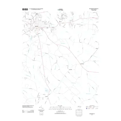
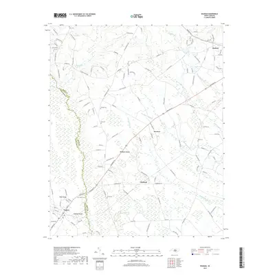
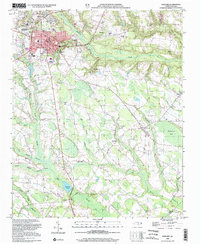 2002 Raeford2002 Print · USGSRaeford and the surrounding Hoke County wetlands are shown here at the turn of the millennium. Genealogists and local historians can locate community landmarks like McLaughlin Chapel, the Hoke County High Sch, and the Aberdeen and Rockfish RR.
 - 2010 Map of Wagram, 2010 Print
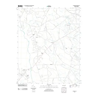 2010 Wagram2010 Print · USGSCovers Raeford, including Wagram, Bowmore, and other nearby areas
 - 2010 Map of Raeford, 2010 Print
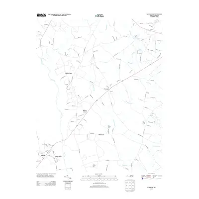
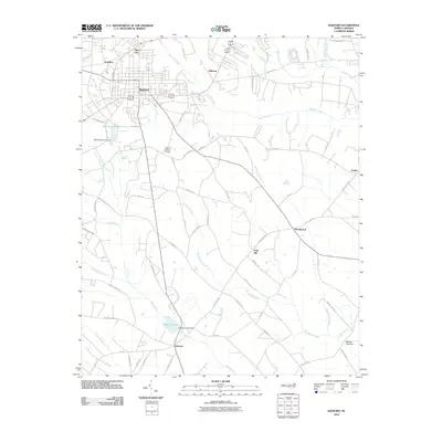 2010 Raeford2010 Print · USGSCovers Raeford, including Dundarrach, Antioch, and other nearby areas
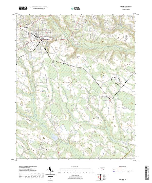
 - 2013 Map of Raeford, 2013 Print
 2013 Raeford2013 Print · USGSCovers Raeford, including Dundarrach, Antioch, and other nearby areas
 - 2013 Map of Wagram, 2013 Print
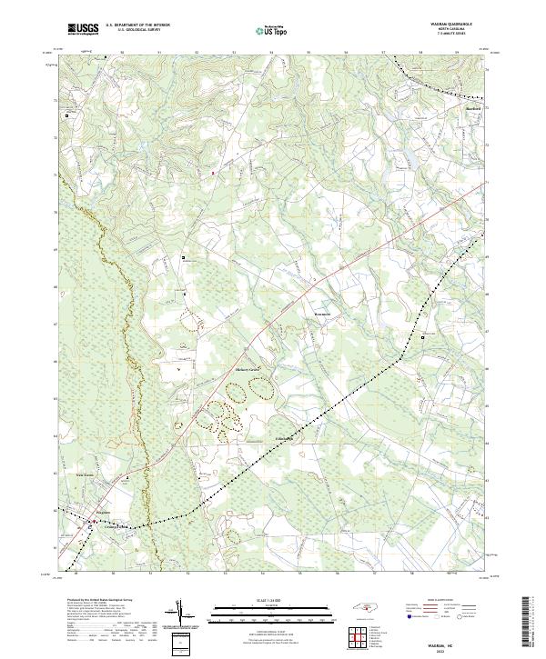
 2013 Wagram2013 Print · USGSCovers Raeford, including Wagram, Bowmore, and other nearby areas
 - 2016 Map of Wagram, 2016 Print
 2016 Wagram2016 Print · USGSCovers Raeford, including Wagram, Bowmore, and other nearby areas
 - 2016 Map of Raeford, 2016 Print
 2016 Raeford2016 Print · USGSCovers Raeford, including Dundarrach, Antioch, and other nearby areas
 - 2019 Map of Raeford, 2019 Print
 2019 Raeford2019 Print · USGSCovers Raeford, including Dundarrach, Antioch, and other nearby areas
 - 2019 Map of Wagram, 2019 Print
 2019 Wagram2019 Print · USGSCovers Raeford, including Wagram, Bowmore, and other nearby areas
 - 2022 Map of Raeford, 2022 Print
 2022 Raeford2022 Print · USGSThe Hoke County area is shown here in its modern landscape, where the growth of Raeford meets the vast wetlands of the Carolina coastal plain. Researchers can locate the Hoke County Courthouse and trace rural family landmarks from Antioch to Dundarrach.
 - 2022 Map of Wagram, 2022 Print
 2022 Wagram2022 Print · USGSThe Scotland and Hoke County line follows the winding Lumber River in the early 2020s. Researchers can locate family landmarks such as Gilchrist Cem and McMillan Cem, or trace the rural routes connecting Wagram and Raeford.
End of results
Showing maps 1-12 of 12
Top cities near Raeford
- Fayetteville historical maps
- Pinehurst historical maps
- Laurinburg historical maps
- Southern Pines historical maps
- Aberdeen historical maps
- Maxton historical maps
See more
Top neighborhoods of Raeford
Frequently asked questions
- What are the different types of historical maps available for Raeford?
- What is the oldest map of Raeford?
- Where can I purchase historical maps of Raeford for my home or office?
- Where can I download high-res historical maps of Raeford?
- Are there historical topographic maps available for Raeford?
- Is there historical aerial imagery available for Raeford?
- Where are historical maps of Raeford sourced from?