Old Maps of Sladesville, North Carolina for Academic Research
Study the evolution of Sladesville with 10 high-resolution historic maps. Whether you're teaching, researching, or modeling changes in land use, these maps provide essential visual documentation of urban, environmental, and geographic change.
- Analyze long-term change: Track patterns in development, transportation, and natural features.
- Ideal for environmental or urban studies: Support academic projects with primary historical map data.
- Use in the classroom or lab: Educators and researchers rely on these maps to bring historical context to life.
These maps are a powerful tool for teaching, research, and visualizing how Sladesville has changed over the decades.
Sladesville, NC maps
(10)- 1951 Map of Scranton, 1953 Print
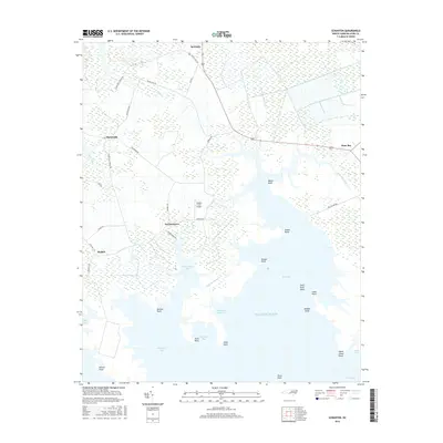
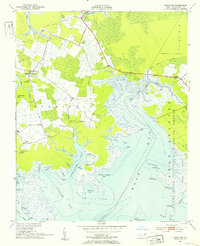 1951 Scranton1953 Print · USGSHyde County's coastal reaches are documented here in the early fifties, showing a landscape defined by the Pamlico River and vast marshlands. Genealogists can locate family landmarks like Weeping Mary Ch, the County Training Sch, and the small settlement of Sladesville.2 unique versions available
 - 1953 Map of Rocky Mount, 1964 Print
 1953 Rocky Mount1964 Print · USGSEastern North Carolina in the mid-fifties is defined by its deep river basins and the vast wetlands of the Tidewater. Genealogists can trace family roots through hubs like Kinston and New Bern or explore the wilderness of Pettigrew State Park and Lake Mattamuskeet.4 unique versions available
 - 1954 Map of Rocky Mount
 1954 Rocky Mount1954 Print · USGSEastern North Carolina is mapped in the mid-fifties, showing a landscape of sounds, swamps, and steam-era rail lines. Genealogists can trace the rural road networks and rail spurs connecting towns like Tarboro, Greenville, and the remote Columbia.
 - 1985 Map of Bayboro, 1990 Print
 1985 Bayboro1990 Print · USGSCoastal Pamlico and Beaufort counties are shown in the mid-eighties as a maritime landscape of protected wetlands and river-mouth settlements. Researchers can trace the layout of waterfront towns like Oriental, Bayboro, and the historic village of Bath amidst the Pamlico Sound.
 - 2002 Map of Scranton
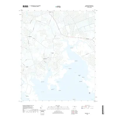
 2002 Scranton2002 Print · USGSCoastal Hyde County at the start of the millennium shows a landscape defined by its intricate shoreline and maritime history. Genealogists and local historians can trace community roots through numerous landmarks like County Training Sch, Zion Ch, and the settlement of Germantown.
 - 2010 Map of Scranton, 2010 Print
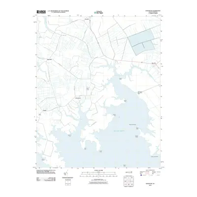 2010 Scranton2010 Print · USGSCovers Sladesville, including Germantown, Scranton, and other nearby areas
 - 2013 Map of Scranton, 2013 Print
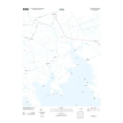 2013 Scranton2013 Print · USGSCovers Sladesville, including Germantown, Scranton, and other nearby areas
 - 2016 Map of Scranton, 2016 Print
 2016 Scranton2016 Print · USGSCovers Sladesville, including Germantown, Scranton, and other nearby areas
 - 2019 Map of Scranton, 2019 Print
 2019 Scranton2019 Print · USGSCovers Sladesville, including Germantown, Scranton, and other nearby areas
 - 2022 Map of Scranton, 2022 Print
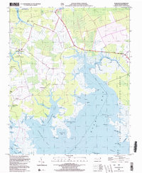
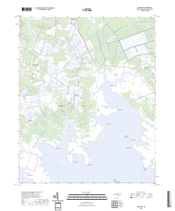 2022 Scranton2022 Print · USGSThe coastal marshes of Hyde County are documented here in recent years, showing a landscape defined by sound-side inlets and small settlements. Trace family lands and local geography near Scranton, Sladesville, and the waters of Spencer Bay.
End of results
Showing maps 1-10 of 10
Top cities near Sladesville
Frequently asked questions
- What are the different types of historical maps available for Sladesville?
- What is the oldest map of Sladesville?
- Where can I purchase historical maps of Sladesville for my home or office?
- Where can I download high-res historical maps of Sladesville?
- Are there historical topographic maps available for Sladesville?
- Is there historical aerial imagery available for Sladesville?
- Where are historical maps of Sladesville sourced from?