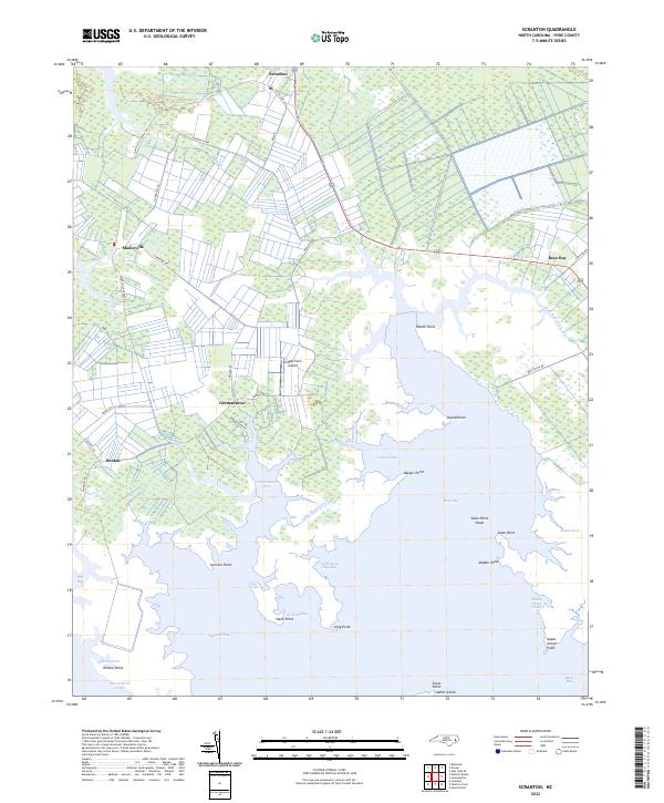
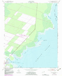
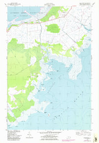
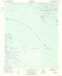
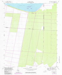
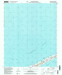
2022 Map of Scranton
USGS Topo · Published 2022This historical map portrays the area of Scranton in 2022, primarily covering Hyde County. Featuring a scale of 1:24000, this map provides a highly detailed snapshot of the terrain, roads, buildings, counties, and historical landmarks in the Scranton region at the time. Published in 2022, it is the sole known edition of this map.
Map Details
Editions of this 2022 Scranton Map
This is the sole edition of this map. No revisions or reprints were ever made.
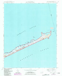
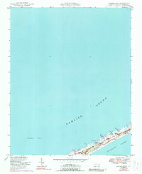
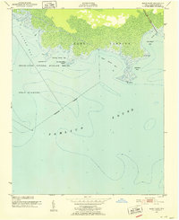
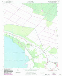
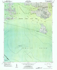
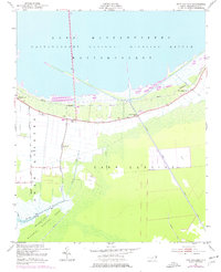
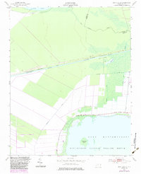
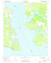
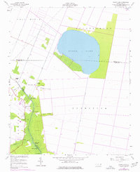
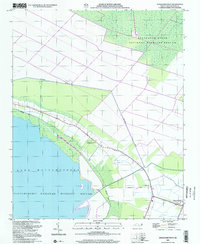
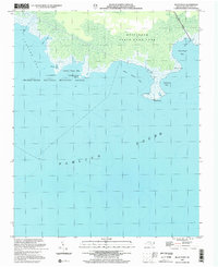
Historical Maps of Sladesville Through Time
45 maps found
1950 Green Island
Hyde County, NC
1950 Howard Reef
Hyde County, NC
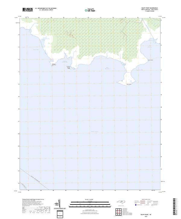
1951 Bluff Point
Hyde County, NC
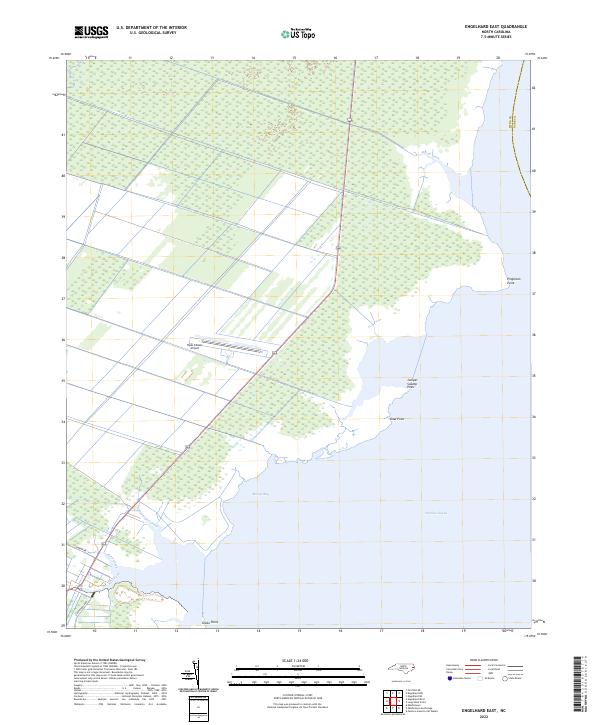
1951 Engelhard East
Hyde County, NC
1951 Engelhard West
Hyde County, NC
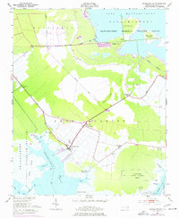
1951 Great Island
Hyde County, NC
1951 Middletown Anchorage
Hyde County, NC
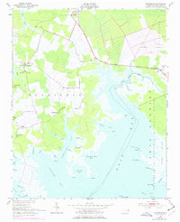
1951 Middletown
Hyde County, NC
1951 New Holland
Hyde County, NC
1951 New Lake SE
Hyde County, NC
1951 Pamlico Beach
Hyde County, NC
1951 Pamlico Point
Hyde County, NC
1951 Ponzer
Hyde County, NC
1951 Scranton
Hyde County, NC
1951 Swanquarter
Hyde County, NC
1954 New Lake NW
Hyde County, NC
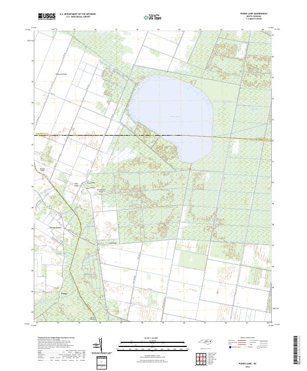
1954 Pungo Lake
Hyde County, NC
2000 Engelhard West
Hyde County, NC
2002 Bluff Point
Hyde County, NC

2002 Great Island
Hyde County, NC
2002 Howard Reef
Hyde County, NC
2002 Middletown Anchorage
Hyde County, NC

2002 Middletown
Hyde County, NC
2002 New Holland
Hyde County, NC
2002 New Lake NW
Hyde County, NC
2002 Pamlico Beach
Hyde County, NC
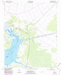
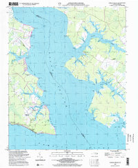
2002 Scranton
Hyde County, NC
2022 Bluff Point
Hyde County, NC
2022 Engelhard East
Hyde County, NC
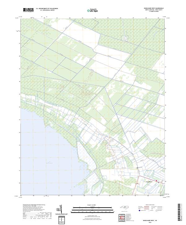
2022 Engelhard West
Hyde County, NC
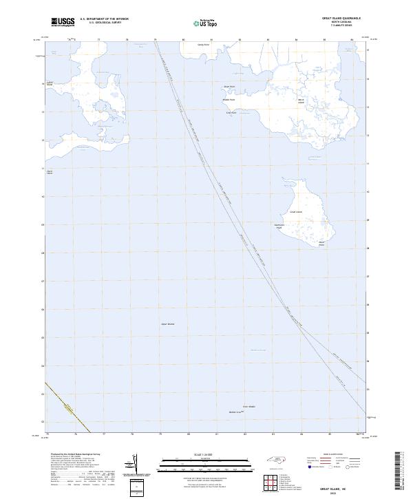
2022 Great Island
Hyde County, NC
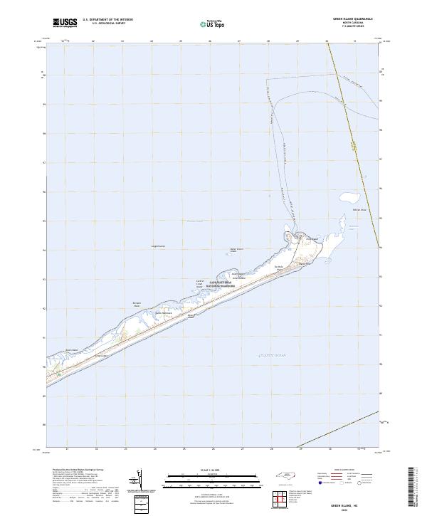
2022 Green Island
Hyde County, NC
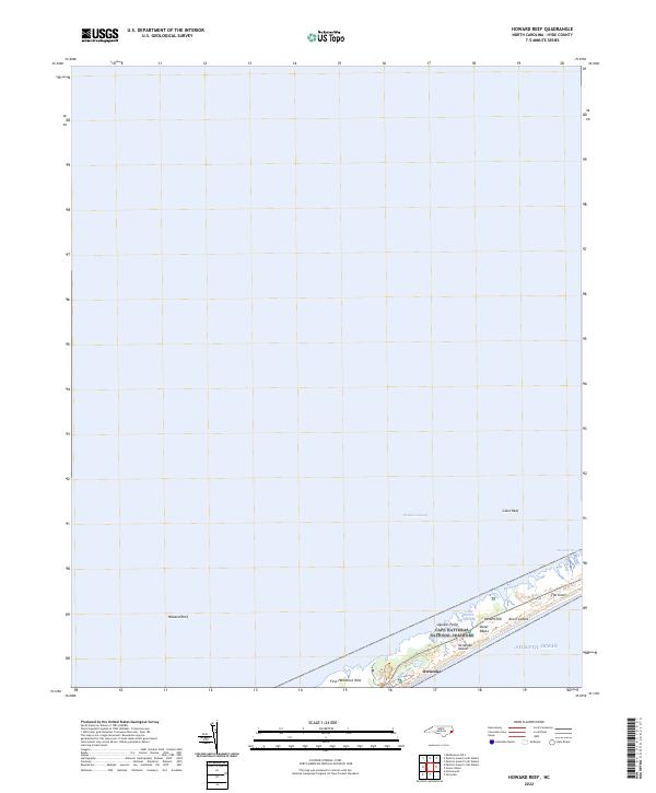
2022 Howard Reef
Hyde County, NC
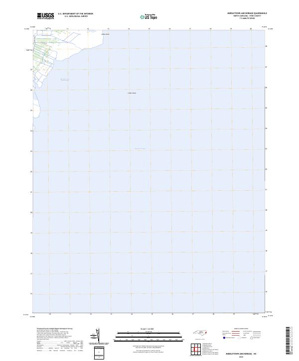
2022 Middletown Anchorage
Hyde County, NC
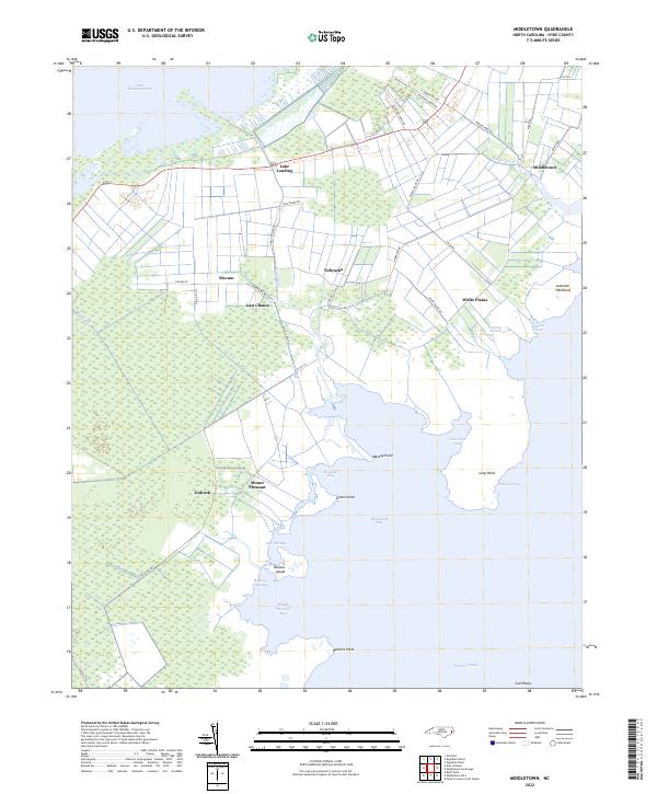
2022 Middletown
Hyde County, NC
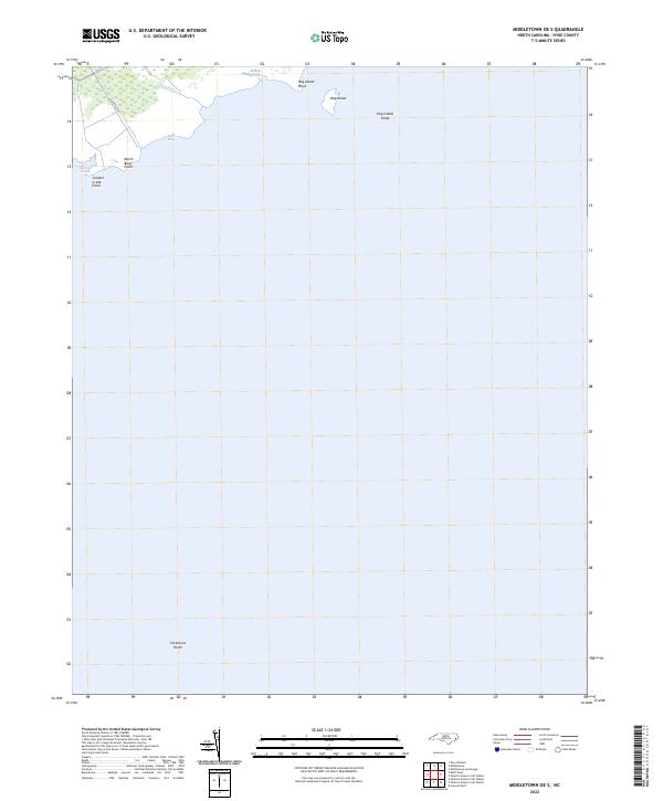
2022 Middletown OE S
Hyde County, NC
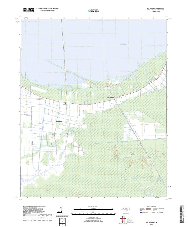
2022 New Holland
Hyde County, NC
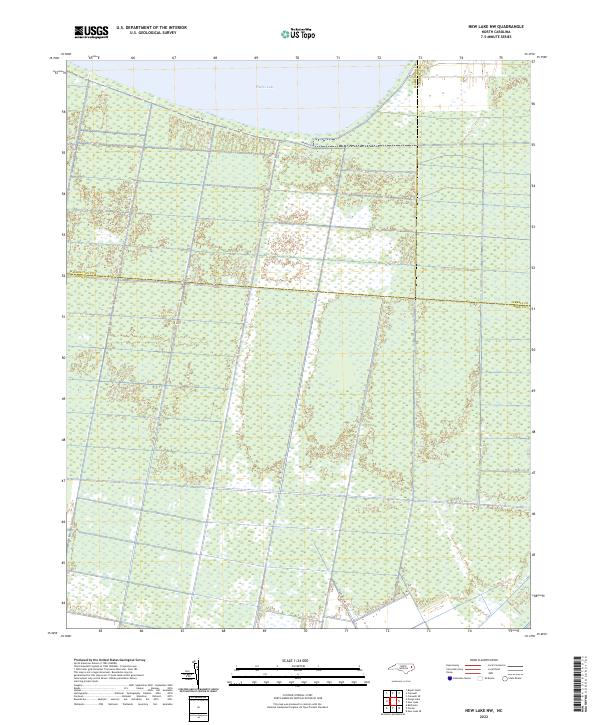
2022 New Lake NW
Hyde County, NC
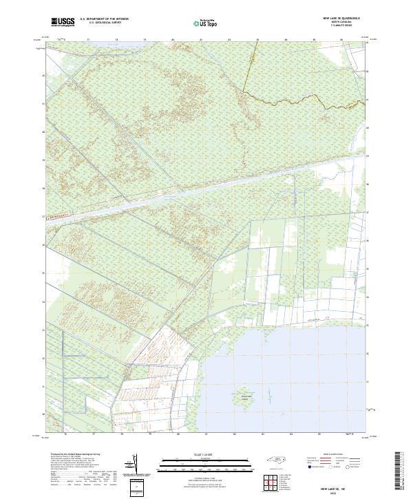
2022 New Lake SE
Hyde County, NC
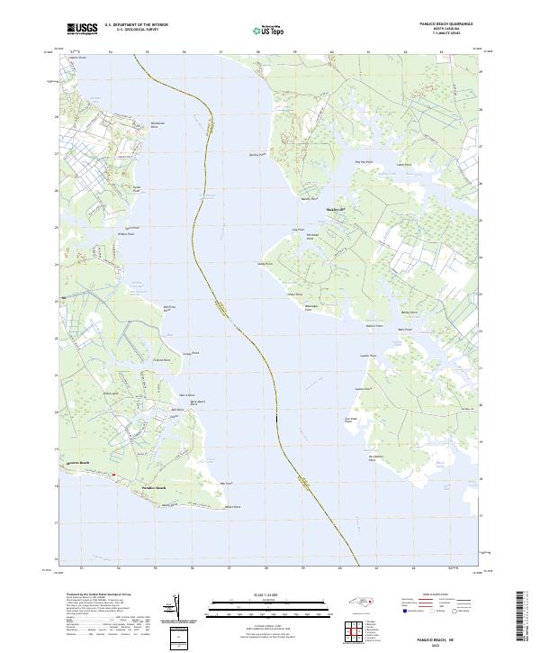
2022 Pamlico Beach
Hyde County, NC

2022 Pamlico Point
Hyde County, NC
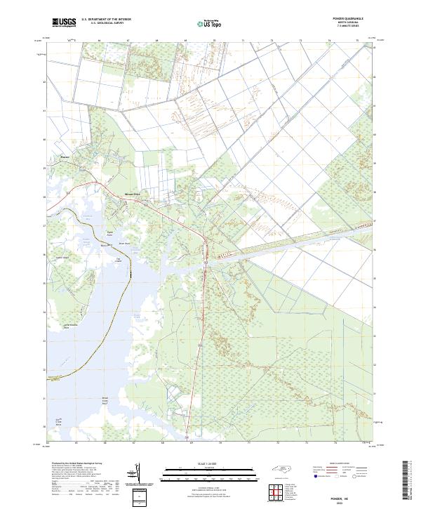
2022 Ponzer
Hyde County, NC
2022 Pungo Lake
Hyde County, NC
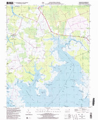
2022 Scranton
Hyde County, NC

2022 Swanquarter
Hyde County, NC