Loading...
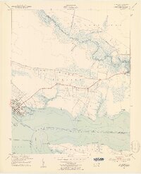
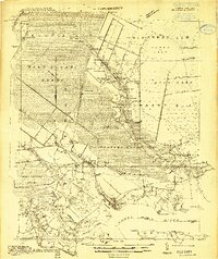
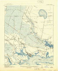
Loading map...1951 Map of Belhaven
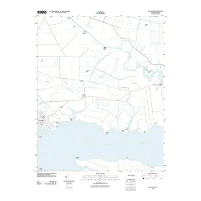
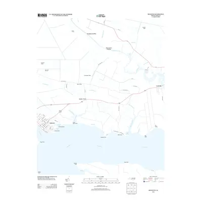
USGS Topo · Published 1953About this map
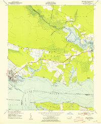
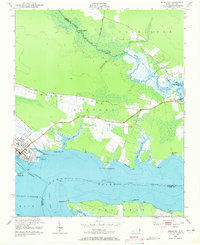
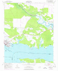
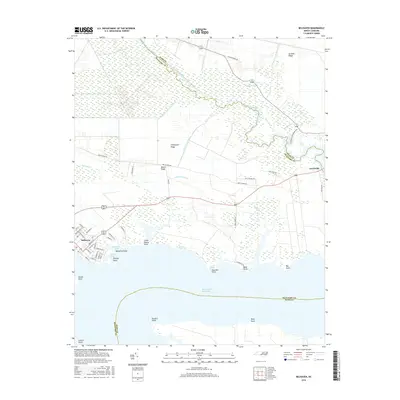
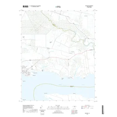
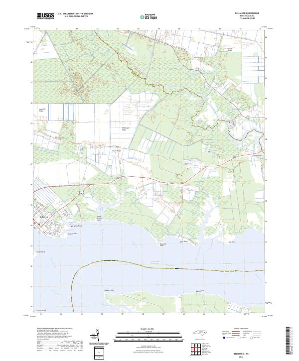
The port of Belhaven serves as the focal point of this coastal landscape where the Pungo River meets the Intracoastal Waterway. The town's grid is dense with detail, showing the terminus of the Norfolk Southern railway and numerous wharves extending into Pantego Creek. To the east, the map reveals a transition into the more rural marshes of Currituck and Pantego, where family and place-named landings such as Hoophole Landing and Piney Grove Landing dot the riverbanks.
Find a feature on this map
44 named features on this map. Tap any name to fly to it.
Don’t see what you’re looking for? This feature index may not catch every label — zoom into the map to look around manually.
Map Details
Date Portrayed1951
Date Published1953
PublisherU.S. Geological Survey
Map TypeTopographic
Scale1:24,000
Physical Dimensions22.13 x 27.42 inches
Editions of this 1951 Belhaven Map
4 editions found
Historical Maps of Belhaven Through Time
8 maps found
Featured Locations
Source Details
SourceU.S. Geological Survey
CopyrightPublic Domain