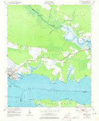
1951 Map of Belhaven
USGS Topo · Published 1972About this map
The Pungo River dominates this coastal landscape, where the Intracoastal Waterway cuts through deep sound waters toward the Hyde and Beaufort county lines. The town of Belhaven serves as the primary hub, showing a structured grid of streets at the terminus of the Norfolk Southern railroad. The surrounding terrain is a low-lying network of ridges and wetlands, with agricultural drainage evidenced by Lowes Ditch and the long, straight stretch of Beech Ridge Road.
Find a feature on this map
48 named features on this map. Tap any name to fly to it.
Don’t see what you’re looking for? This feature index may not catch every label — zoom into the map to look around manually.
Map Details
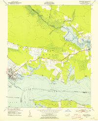
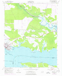
Editions of this 1951 Belhaven Map
4 editions found
Other maps of this area

1914 · Belhaven
USGS Topo · 1:48,000

1916 · Belhaven
USGS Topo · 1:62,500

1943 · Columbia
USGS Topo · 1:125,000

1943 · Plymouth
USGS Topo · 1:125,000

1951 · Ransomville
USGS Topo · 1:24,000

1951 · Pamlico Beach
USGS Topo · 1:24,000

1951 · Belhaven
USGS Topo · 1:24,000

1951 · Pantego
USGS Topo · 1:24,000

1951 · Scranton
USGS Topo · 1:24,000

1951 · Ponzer
USGS Topo · 1:24,000