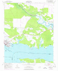
1951 Map of Belhaven
USGS Topo · Published 1977About this map
Belhaven serves as a critical waterfront hub where the Pantego Creek meets the wide expanse of the Pungo River. The coastal economy of the mid-20th century is written across the shoreline, marked by small settlements and water access points like Hoophole Landing and Piney Grove Landing. The engineering of the Intracoastal Waterway cuts through the river, facilitating maritime transport through the wetlands of Pantego and Beech Ridge. Inland, the landscape is defined by drainage features like Lowes Ditch and the Pungo Lake Canal, revealing the intensive effort required to manage the low-lying terrain for agriculture and habitation. Small rural crossroads such as Haslin Corner and several unnamed cemeteries provide important clues for genealogists tracing family footprints in this portion of Beaufort County.
Find a feature on this map
43 named features on this map. Tap any name to fly to it.
Don’t see what you’re looking for? This feature index may not catch every label — zoom into the map to look around manually.
Map Details
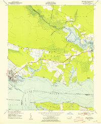
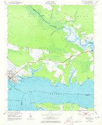
Editions of this 1951 Belhaven Map
4 editions found
Other maps of this area

1914 · Belhaven
USGS Topo · 1:48,000

1916 · Belhaven
USGS Topo · 1:62,500

1943 · Columbia
USGS Topo · 1:125,000

1943 · Plymouth
USGS Topo · 1:125,000

1951 · Ransomville
USGS Topo · 1:24,000

1951 · Pamlico Beach
USGS Topo · 1:24,000

1951 · Belhaven
USGS Topo · 1:24,000

1951 · Pantego
USGS Topo · 1:24,000

1951 · Scranton
USGS Topo · 1:24,000

1951 · Ponzer
USGS Topo · 1:24,000