Old Maps of Buffalo, North Carolina for Metal Detecting
Plan your next treasure hunt with 14 historic maps of Buffalo. Find old homesites, ghost towns, trails, and gathering spots that may be lost to time — perfect for identifying promising metal detecting locations.
- Locate forgotten sites: Uncover places like long-lost settlements, abandoned rail lines, or gathering spots.
- Plan better hunts: Use map overlays combined with LiDAR or satellite views to narrow in on historically rich areas.
- Made for detectorists: Thousands of hobbyists use these maps to discover relics, coins, and hidden history.
Use these historic maps to boost your research and find new opportunities beneath the surface of Buffalo.
Buffalo, NC maps
(14)- 1895 Map of Hickory
 1895 Hickory1895 Print · USGSThe North Carolina foothills come alive in the late nineteenth century as the rail lines reached Hickory and Newton. Genealogists can trace family roots through numerous country landmarks like Tuttle's Store, Emmanuel Church, and Cloninger's Mill.5 unique versions available
 - 1953 Map of Charlotte, 1968 Print
 1953 Charlotte1968 Print · USGSThe North Carolina Piedmont and South Carolina borderlands are shown in detail during a period of significant growth and reservoir development. Trace the rail corridors of the Southern Railway or find family roots in towns like China Grove, Misenheimer, and Lincolnton.3 unique versions available
 - 1954 Map of Charlotte
 1954 Charlotte1954 Print · USGSThe North Carolina Piedmont in the mid-1950s shows a region of rapid growth and industrial expansion centered around Charlotte. Trace the era's infrastructure through the Southern railroad lines and locate significant landmarks like the Charlotte Naval Ammunition Depot and Lake Norman.2 unique versions available
 - 1960 Map of Charlotte
 1960 Charlotte1960 Print · USGSMid-century North Carolina and South Carolina meet in this 1960 survey of the Piedmont's industrial and textile heartland. Trace the growth of Charlotte alongside historic landmarks like Kings Mountain National Military Park and the Charlotte Naval Ammunition Depot.2 unique versions available
 - 1962 Map of Charlotte
 1962 Charlotte1962 Print · USGSThe North Carolina Piedmont in the early sixties showcases a landscape transformed by massive reservoirs and industrial growth. Researchers can trace the development of Lake Norman, locate the Charlotte Naval Ammunition Depot, or find family landmarks like Wesley Chapel and Brown & Norcott Mills.
 - 1970 Map of Catawba, 1973 Print
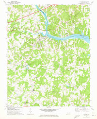 1970 Catawba1973 Print · USGSThe Catawba River valley in the early seventies shows the early years of Lake Norman and the rural communities of Iredell and Catawba counties. Genealogy and local history researchers can locate the Bunker Hill Covered Bridge, Murrays Mill, and the Catawba Rosenwald Sch.
 - 1976 Map of Catawba, 1978 Print
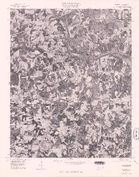 1976 Catawba1978 Print · USGSCatawba County in the mid-seventies is captured in this detailed orthophoto showing the rural Piedmont landscape. Genealogists and local historians can trace farmstead footprints and land use patterns around Catawba, Murrays Mill, and Bandy.
 - 1986 Map of Hickory
 1986 Hickory1986 Print · USGSWestern North Carolina's foothills are seen here in the mid-eighties as textile and furniture towns flourished along the river. Trace the development of Hickory and Lenoir or locate local landmarks like Burke Chapel, Saw Mills, and Rhodhiss Lake.3 unique versions available
 - 1997 Map of Catawba, 2000 Print
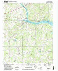 1997 Catawba2000 Print · USGSThe Catawba River valley in the late twentieth century reveals a landscape where historic milling and rural education meet modern recreation. Researchers can locate the Bunker Hill Covered Bridge, the Catawba Rosenwald Sch, and family sites like Smyres Cem.
 - 2010 Map of Catawba, 2010 Print
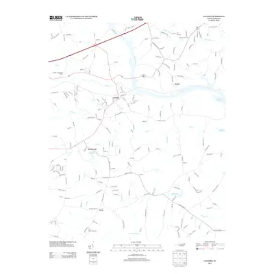
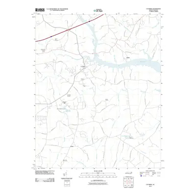 2010 Catawba2010 Print · USGSCovers Buffalo, including Catawba, Murrays Mill Historic Site, and other nearby areas
 - 2013 Map of Catawba, 2013 Print
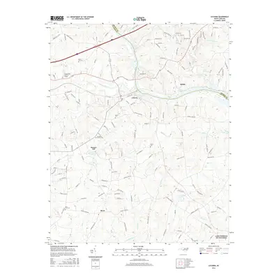
 2013 Catawba2013 Print · USGSCovers Buffalo, including Catawba, Murrays Mill Historic Site, and other nearby areas
 - 2016 Map of Catawba, 2016 Print
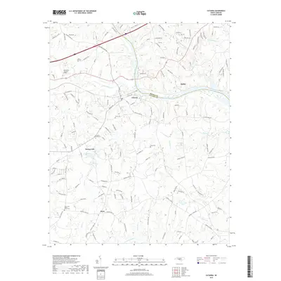
 2016 Catawba2016 Print · USGSCovers Buffalo, including Catawba, Murrays Mill Historic Site, and other nearby areas
 - 2019 Map of Catawba, 2019 Print
 2019 Catawba2019 Print · USGSCovers Buffalo, including Catawba, Murrays Mill Historic Site, and other nearby areas
 - 2022 Map of Catawba, 2022 Print
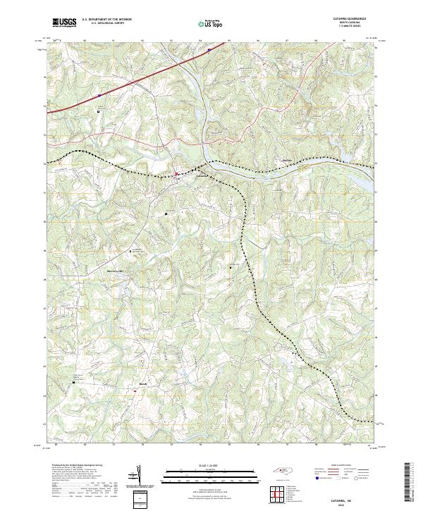 2022 Catawba2022 Print · USGSThe area surrounding Catawba and the Catawba River comes into focus in this contemporary survey of the Piedmont. Genealogists can trace local landmarks like Murrays Mill Lake and several historic burial grounds including Smyres Cem and Brooks Cem.
End of results
Showing maps 1-14 of 14
Top cities near Buffalo
- Hickory historical maps
- Mooresville historical maps
- Statesville historical maps
- Cornelius historical maps
- Newton historical maps
- Davidson historical maps
See more
Frequently asked questions
- What are the different types of historical maps available for Buffalo?
- What is the oldest map of Buffalo?
- Where can I purchase historical maps of Buffalo for my home or office?
- Where can I download high-res historical maps of Buffalo?
- Are there historical topographic maps available for Buffalo?
- Is there historical aerial imagery available for Buffalo?
- Where are historical maps of Buffalo sourced from?