2000s (21st Century) Maps of Smithfield, North Carolina
Explore 20 historic maps of Smithfield from the 2000s (21st Century). These maps offer a rare glimpse into what life looked like during the 2000s — showing old roads, neighborhoods, homes, and landmarks that have changed or disappeared over time.
Whether you're researching your family's past, planning a metal detecting trip, or studying how Smithfield's landscape evolved across the 2000s, these high-resolution maps are a powerful tool for exploring the history of this region.
- Focus on a specific era: All maps on this page are from the 2000s, giving you a focused view of this time period.
- See what’s changed: Compare century-old streets, trails, and buildings to today's modern landscape using overlays and satellite layers.
- Research with precision: Use these maps for genealogy, historical research, land use analysis, or educational projects.
- View, download, or print: Maps are fully viewable online in high resolution, and can be downloaded or printed for your own records.
Start exploring Smithfield's history through authentic maps from the 2000s. This is your window into the past.
Smithfield, NC maps
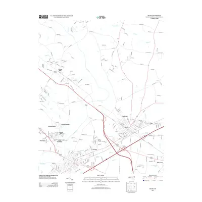
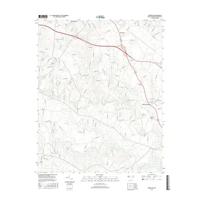
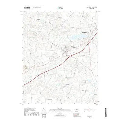
(20)- 2010 Map of Four Oaks, 2010 Print
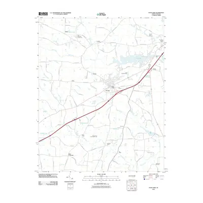 2010 Four Oaks2010 Print · USGSCovers Smithfield, including Four Oaks, The Oaks, and other nearby areas
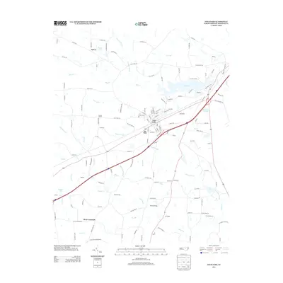
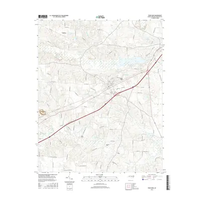
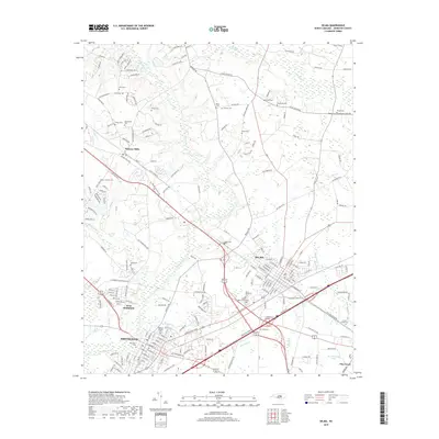
 - 2010 Map of Selma, 2010 Print
 2010 Selma2010 Print · USGSCovers Smithfield, including Selma, Wilson's Mills, and other nearby areas
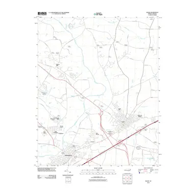
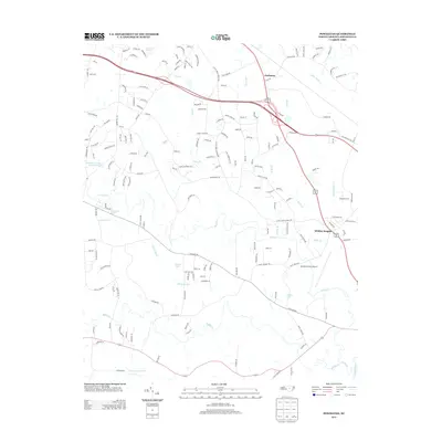
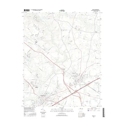
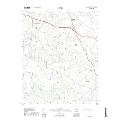
 - 2010 Map of Powhatan, 2010 Print
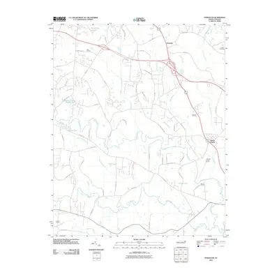 2010 Powhatan2010 Print · USGSCovers Smithfield, including Clayton, Whitley Heights, and other nearby areas
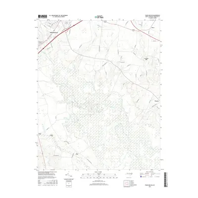
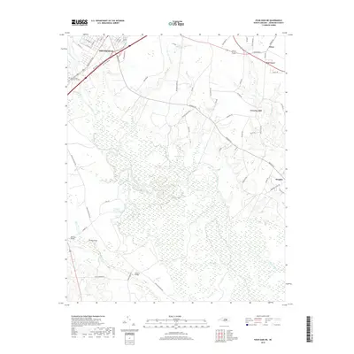
 - 2010 Map of Four Oaks NE, 2010 Print
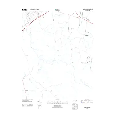
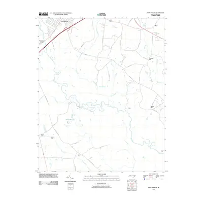 2010 Four Oaks NE2010 Print · USGSCovers Smithfield, including Pine Level, Creeches Mill, and other nearby areas
 - 2013 Map of Selma, 2013 Print
 2013 Selma2013 Print · USGSCovers Smithfield, including Selma, Wilson's Mills, and other nearby areas
 - 2013 Map of Powhatan, 2013 Print
 2013 Powhatan2013 Print · USGSCovers Smithfield, including Clayton, Whitley Heights, and other nearby areas
 - 2013 Map of Four Oaks NE, 2013 Print
 2013 Four Oaks NE2013 Print · USGSCovers Smithfield, including Pine Level, Creeches Mill, and other nearby areas
 - 2013 Map of Four Oaks, 2013 Print
 2013 Four Oaks2013 Print · USGSCovers Smithfield, including Four Oaks, The Oaks, and other nearby areas
 - 2016 Map of Powhatan, 2016 Print
 2016 Powhatan2016 Print · USGSCovers Smithfield, including Clayton, Whitley Heights, and other nearby areas
 - 2016 Map of Four Oaks, 2016 Print
 2016 Four Oaks2016 Print · USGSCovers Smithfield, including Four Oaks, The Oaks, and other nearby areas
 - 2016 Map of Selma, 2016 Print
 2016 Selma2016 Print · USGSCovers Smithfield, including Selma, Wilson's Mills, and other nearby areas
 - 2016 Map of Four Oaks NE, 2016 Print
 2016 Four Oaks NE2016 Print · USGSCovers Smithfield, including Pine Level, Creeches Mill, and other nearby areas
 - 2019 Map of Four Oaks, 2019 Print
 2019 Four Oaks2019 Print · USGSCovers Smithfield, including Four Oaks, The Oaks, and other nearby areas
 - 2019 Map of Selma, 2019 Print
 2019 Selma2019 Print · USGSCovers Smithfield, including Selma, Wilson's Mills, and other nearby areas
 - 2019 Map of Four Oaks NE, 2019 Print
 2019 Four Oaks NE2019 Print · USGSCovers Smithfield, including Pine Level, Creeches Mill, and other nearby areas
 - 2019 Map of Powhatan, 2019 Print
 2019 Powhatan2019 Print · USGSCovers Smithfield, including Clayton, Whitley Heights, and other nearby areas
 - 2022 Map of Four Oaks NE, 2022 Print
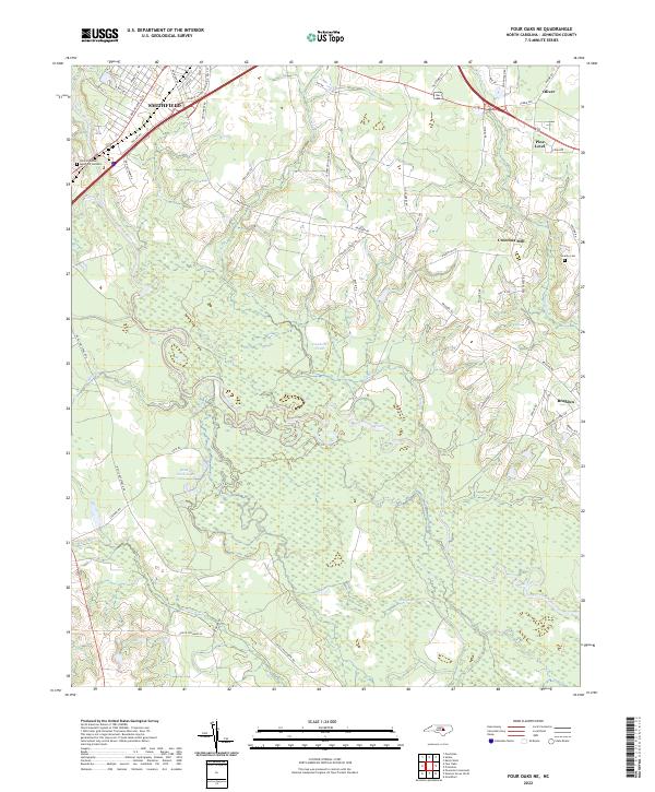 2022 Four Oaks NE2022 Print · USGSSettlements along the Neuse River basin in Johnston County show a blend of historic agricultural roots and modern expansion in the early 2020s. Researchers can trace local landmarks like Creeches Mill, the rural community of Brogden, and family-named sites such as Overby Cem.
 - 2022 Map of Four Oaks, 2022 Print
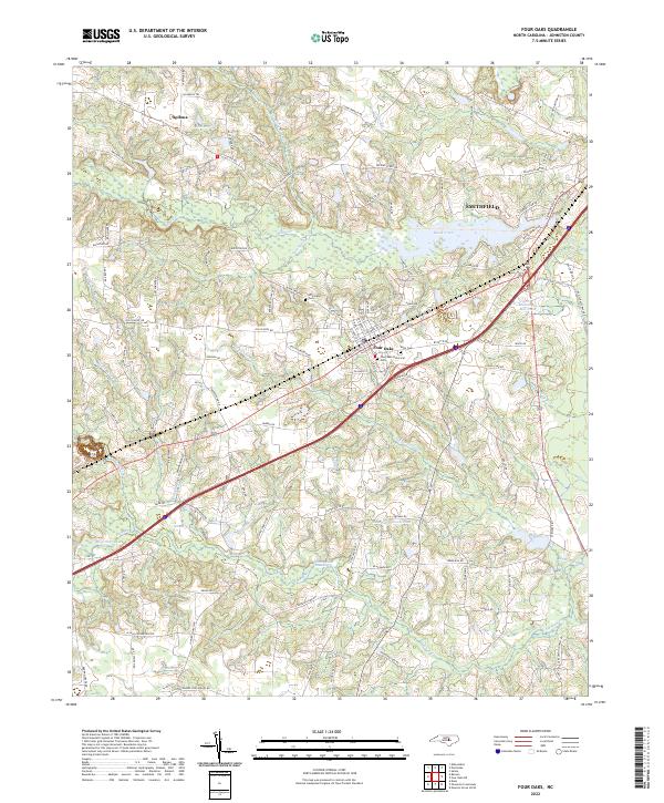 2022 Four Oaks2022 Print · USGSModern Johnston County meets its deep history in the 2020s near the town of Four Oaks. Genealogists and researchers can trace family landmarks like the Strickland Cem or study the legacy of local mills at Massengill Mill Pond.
 - 2022 Map of Powhatan, 2022 Print
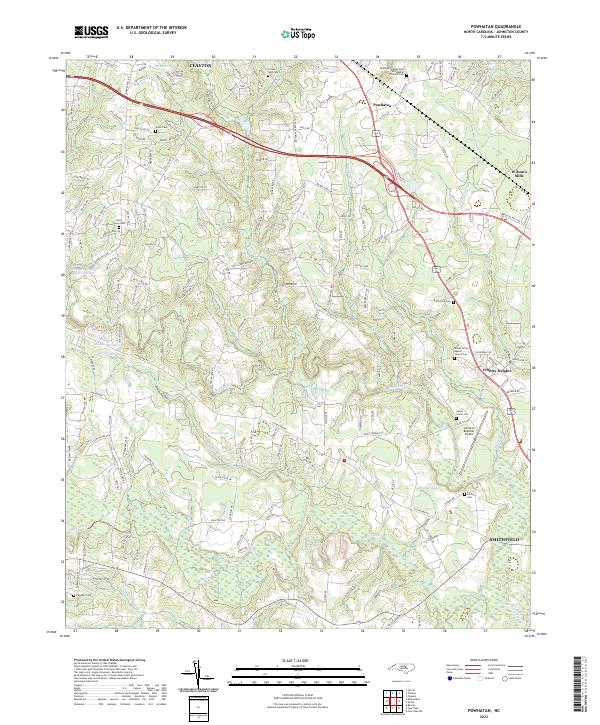 2022 Powhatan2022 Print · USGSThe corridor between Clayton and Smithfield comes into focus in this recent survey of Johnston County. Genealogists can trace family heritage at Piney Grove Cem and Poole Cem, or locate landmarks like Johnston Regional Airport.
 - 2022 Map of Selma, 2022 Print
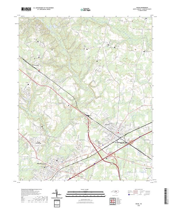 2022 Selma2022 Print · USGSNorth Carolina's Neuse River valley in the early 2020s shows a landscape where historic town centers meet modern growth. Genealogists can trace family landmarks like Vause Cem, Price Cem, and Walls Cem while mapping the areas around Smithfield and Selma.
End of results
Showing maps 1-20 of 20
Top cities near Smithfield
- Raleigh historical maps
- Clayton historical maps
- Garner historical maps
- Dunn historical maps
- Selma historical maps
- Benson historical maps
See more
Top neighborhoods of Smithfield
- Castlehaven historical maps
- Fairfield historical maps
- Laurelwood Hills historical maps
- Sunrise Acres historical maps
- West Smithfield historical maps
- Westview historical maps
See more
Frequently asked questions
- What are the different types of historical maps available for Smithfield?
- What is the oldest map of Smithfield?
- Where can I purchase historical maps of Smithfield for my home or office?
- Where can I download high-res historical maps of Smithfield?
- Are there historical topographic maps available for Smithfield?
- Is there historical aerial imagery available for Smithfield?
- Where are historical maps of Smithfield sourced from?