Old Maps of Dawson, North Carolina for Academic Research
Study the evolution of Dawson with 12 high-resolution historic maps. Whether you're teaching, researching, or modeling changes in land use, these maps provide essential visual documentation of urban, environmental, and geographic change.
- Analyze long-term change: Track patterns in development, transportation, and natural features.
- Ideal for environmental or urban studies: Support academic projects with primary historical map data.
- Use in the classroom or lab: Educators and researchers rely on these maps to bring historical context to life.
These maps are a powerful tool for teaching, research, and visualizing how Dawson has changed over the decades.
Dawson, NC maps
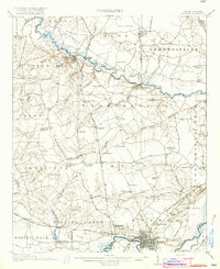
(12)- 1914 Map of Kinston
 1914 Kinston1914 Print · USGSBefore the onset of the First World War, the rural landscape of eastern North Carolina was a dense network of railroad sidings, country schools, and pocosin wetlands. Genealogists can trace family landmarks and forgotten settlements like Hookerton, Suggs Siding, and Saints Delight Church.3 unique versions available
 - 1916 Map of Kinston
 1916 Kinston1916 Print · USGSThe Neuse River and Contentnea Creek basins are shown here during the mid-1910s, capturing the transition of eastern North Carolina's rural landscape. Genealogists can locate family landmarks like Suggs School, Beulah Church, and Mewborns Crossroads.3 unique versions available
 - 1953 Map of Rocky Mount, 1964 Print
 1953 Rocky Mount1964 Print · USGSEastern North Carolina in the mid-fifties is defined by its deep river basins and the vast wetlands of the Tidewater. Genealogists can trace family roots through hubs like Kinston and New Bern or explore the wilderness of Pettigrew State Park and Lake Mattamuskeet.4 unique versions available
 - 1954 Map of Rocky Mount
 1954 Rocky Mount1954 Print · USGSEastern North Carolina is mapped in the mid-fifties, showing a landscape of sounds, swamps, and steam-era rail lines. Genealogists can trace the rural road networks and rail spurs connecting towns like Tarboro, Greenville, and the remote Columbia.
 - 1983 Map of Falling Creek
 1983 Falling Creek1983 Print · USGSThe Lenoir County countryside comes into focus in the early eighties as a network of rail-side settlements and swamp-fed lowlands. Genealogists and local historians can trace family roots through Pinelawn Cem and Temple Israel Cem or locate the Kennedy Mem Home and Falling Creek Station.
 - 1985 Map of Kinston
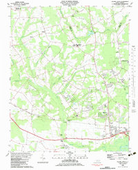
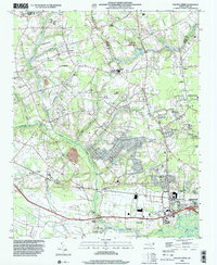
 1985 Kinston1985 Print · USGSCoastal plain life and Cold War infrastructure meet in the mid-eighties as the Neuse River winds through agricultural heartlands. Researchers can locate family landmarks like Falling Creek Cem, old milling sites such as Tulls Mill, and the massive Voice of America Radio Towers.2 unique versions available
 - 1998 Map of Falling Creek, 2001 Print
 1998 Falling Creek2001 Print · USGSWestern Kinston and the rural Lenoir-Greene county line are captured here in the late nineties, showing a landscape defined by creeks and swamps. Researchers can locate numerous local landmarks like Falling Creek Station, Banks Chapel, and the grounds of the Kennedy Mem Home.
 - 2010 Map of Falling Creek, 2010 Print
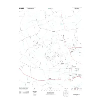
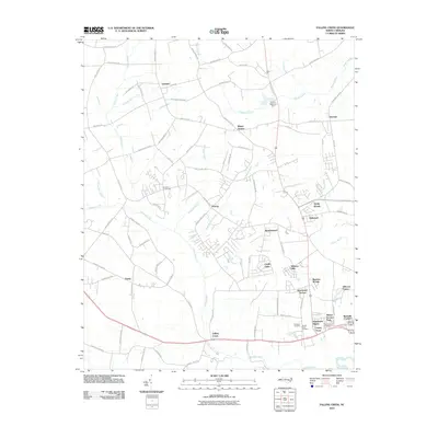 2010 Falling Creek2010 Print · USGSCovers Dawson, including Kinston, Wheat Swamp, and other nearby areas
 - 2013 Map of Falling Creek, 2013 Print
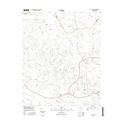
 2013 Falling Creek2013 Print · USGSCovers Dawson, including Kinston, Wheat Swamp, and other nearby areas
 - 2016 Map of Falling Creek, 2016 Print
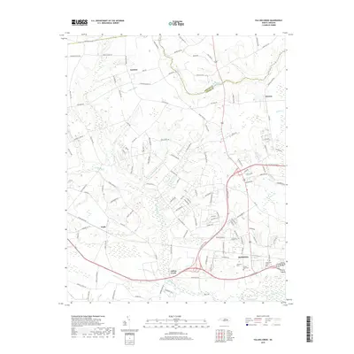
 2016 Falling Creek2016 Print · USGSCovers Dawson, including Kinston, Wheat Swamp, and other nearby areas
 - 2019 Map of Falling Creek, 2019 Print
 2019 Falling Creek2019 Print · USGSCovers Dawson, including Kinston, Wheat Swamp, and other nearby areas
 - 2022 Map of Falling Creek, 2022 Print
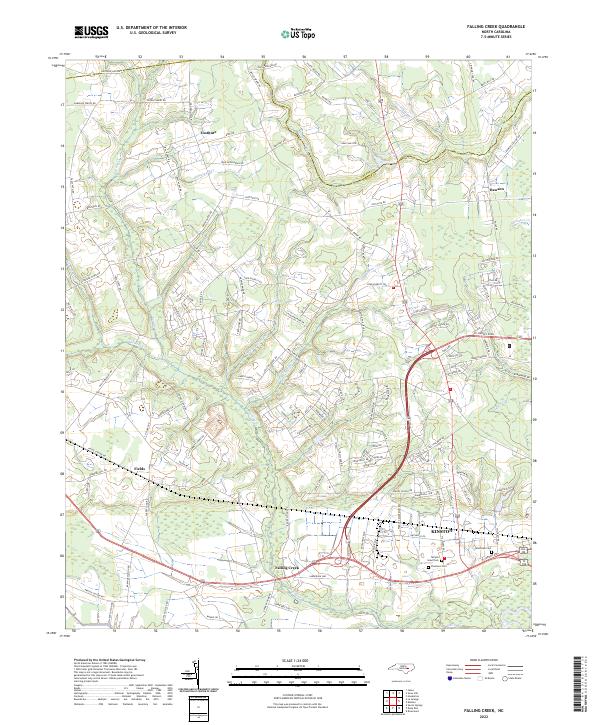 2022 Falling Creek2022 Print · USGSCoastal plain settlements and family farmsteads flourish along the border of Greene and Lenoir counties in the early 2020s. Researchers can locate ancestral sites at Pinelawn Cem, the rural hamlet of Institute, and along the winding banks of Wheat Swamp.
End of results
Showing maps 1-12 of 12
Top cities near Dawson
- Greenville historical maps
- Kinston historical maps
- Ayden historical maps
- Winterville historical maps
- Farmville historical maps
- La Grange historical maps
See more
Frequently asked questions
- What are the different types of historical maps available for Dawson?
- What is the oldest map of Dawson?
- Where can I purchase historical maps of Dawson for my home or office?
- Where can I download high-res historical maps of Dawson?
- Are there historical topographic maps available for Dawson?
- Is there historical aerial imagery available for Dawson?
- Where are historical maps of Dawson sourced from?