2000s (21st Century) Maps of Vale, North Carolina
Explore 6 historic maps of Vale from the 2000s (21st Century). These maps offer a rare glimpse into what life looked like during the 2000s — showing old roads, neighborhoods, homes, and landmarks that have changed or disappeared over time.
Whether you're researching your family's past, planning a metal detecting trip, or studying how Vale's landscape evolved across the 2000s, these high-resolution maps are a powerful tool for exploring the history of this region.
- Focus on a specific era: All maps on this page are from the 2000s, giving you a focused view of this time period.
- See what’s changed: Compare century-old streets, trails, and buildings to today's modern landscape using overlays and satellite layers.
- Research with precision: Use these maps for genealogy, historical research, land use analysis, or educational projects.
- View, download, or print: Maps are fully viewable online in high resolution, and can be downloaded or printed for your own records.
Start exploring Vale's history through authentic maps from the 2000s. This is your window into the past.
Vale, NC maps
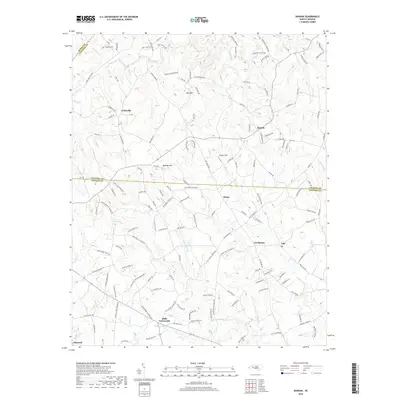
(6)- 2002 Map of Banoak, 2003 Print
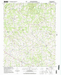 2002 Banoak2003 Print · USGSThe rural Piedmont of Lincoln and Catawba counties is captured here at the turn of the millennium. Local historians can trace family roots through numerous sites like Cat Square, Hulls Crossroads, and the T Chapman Cem.
 - 2010 Map of Banoak, 2010 Print
 2010 Banoak2010 Print · USGSCovers Vale, including Belwood, Henry, and other nearby areas
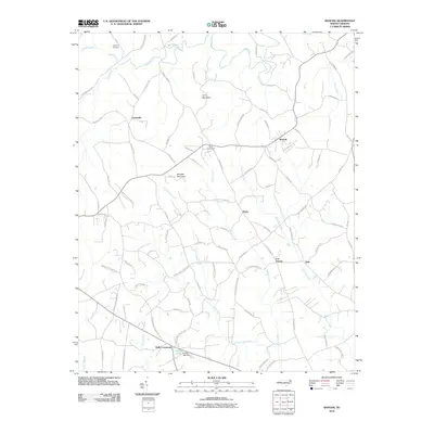
 - 2013 Map of Banoak, 2013 Print
 2013 Banoak2013 Print · USGSCovers Vale, including Belwood, Henry, and other nearby areas
 - 2016 Map of Banoak, 2016 Print
 2016 Banoak2016 Print · USGSCovers Vale, including Belwood, Henry, and other nearby areas
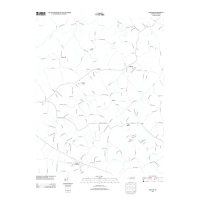
 - 2019 Map of Banoak, 2019 Print
 2019 Banoak2019 Print · USGSCovers Vale, including Belwood, Henry, and other nearby areas
 - 2022 Map of Banoak, 2022 Print
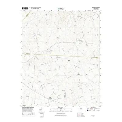
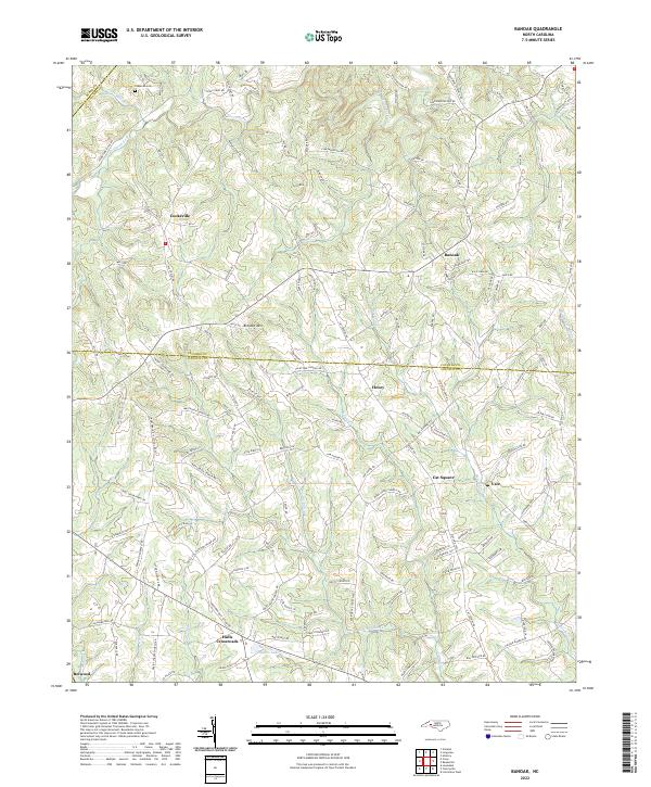 2022 Banoak2022 Print · USGSThe rural borderlands of Catawba and Lincoln Counties come into focus in the early 2020s, showing a landscape of small crossroads and family-named landmarks. Genealogists can trace property locations near Cat Square, Hulls Crossroads, and numerous country steeples like Hulls Grove Church.
End of results
Showing maps 1-6 of 6
Top cities near Vale
- Hickory historical maps
- Shelby historical maps
- Newton historical maps
- Lincolnton historical maps
- Conover historical maps
- Cherryville historical maps
See more
Frequently asked questions
- What are the different types of historical maps available for Vale?
- What is the oldest map of Vale?
- Where can I purchase historical maps of Vale for my home or office?
- Where can I download high-res historical maps of Vale?
- Are there historical topographic maps available for Vale?
- Is there historical aerial imagery available for Vale?
- Where are historical maps of Vale sourced from?