2020s Maps of Madison County, North Carolina
Explore 16 historic maps of Madison County from the 2020s. These maps offer a rare glimpse into what life looked like during the 2020s — showing old roads, neighborhoods, homes, and landmarks that have changed or disappeared over time.
Whether you're researching your family's past, planning a metal detecting trip, or studying how Madison County's landscape evolved across the 2020s, these high-resolution maps are a powerful tool for exploring the history of this region.
- Focus on a specific era: All maps on this page are from the 2020s, giving you a focused view of this time period.
- See what’s changed: Compare century-old streets, trails, and buildings to today's modern landscape using overlays and satellite layers.
- Research with precision: Use these maps for genealogy, historical research, land use analysis, or educational projects.
- View, download, or print: Maps are fully viewable online in high resolution, and can be downloaded or printed for your own records.
Start exploring Madison County's history through authentic maps from the 2020s. This is your window into the past.
Madison County, NC maps
(16)- 2022 Map of Mars Hill, 2022 Print
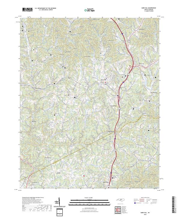 2022 Mars Hill2022 Print · USGSThe northern Blue Ridge near the Madison and Buncombe county line comes into focus in this recent survey. Local researchers can trace family roots through numerous mountain burial sites like Sams Cem and Merrill Cem or explore the landscape around Mars Hill College.
 - 2022 Map of Marshall, 2022 Print
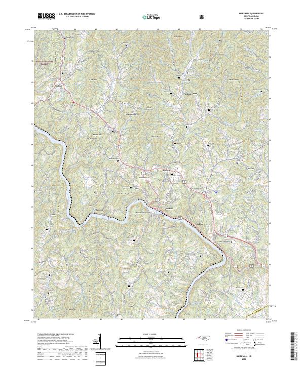 2022 Marshall2022 Print · USGSMadison County in the 2020s remains a landscape of steep ridges and deep river valleys centered on the French Broad River. Genealogists can trace family heritage through numerous hillside burial grounds like Gahagan Cem and Sprouse Cem or the community of Walnut.
 - 2022 Map of Leicester, 2022 Print
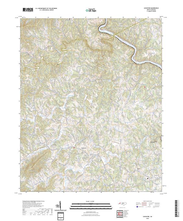 2022 Leicester2022 Print · USGSLeicester and the surrounding Buncombe County hills are captured here in the early 2020s as modern growth meets traditional Appalachian landscapes. Researchers can trace family history through sites like Sluder Cem, the namesake Patton Cove, and the winding French Broad River at Bailey Bend.
 - 2022 Map of Paint Rock, 2022 Print
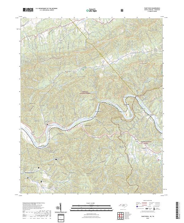 2022 Paint Rock2022 Print · USGSThe French Broad River borderland comes alive in this survey of the North Carolina and Tennessee line. Researchers can trace family history through sites like Mooneyham Cem, Justis Cem, and the old settlement at Lanceville.
 - 2022 Map of Hot Springs, 2022 Print
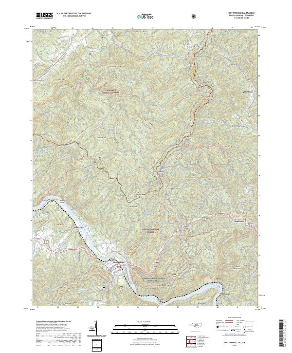 2022 Hot Springs2022 Print · USGSThe North Carolina-Tennessee border comes alive in this 2022 survey centered on the river town of Hot Springs. Genealogists can locate family sites like Odd Fellows Cem and Click Cem or trace the early paths through Hurricane and Houston Valley.
 - 2022 Map of Sams Gap, 2022 Print
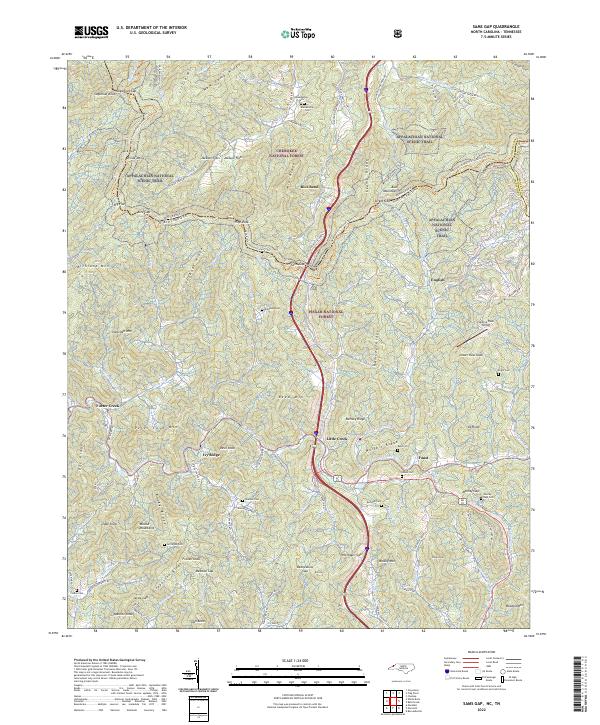 2022 Sams Gap2022 Print · USGSThe Tennessee and North Carolina borderlands come into focus in this recent survey of the high Blue Ridge ridges. Researchers can trace the Appalachian National Scenic Trail past remote family sites like Blankenship Cem and Robinson Cem.
 - 2022 Map of Bald Creek, 2022 Print
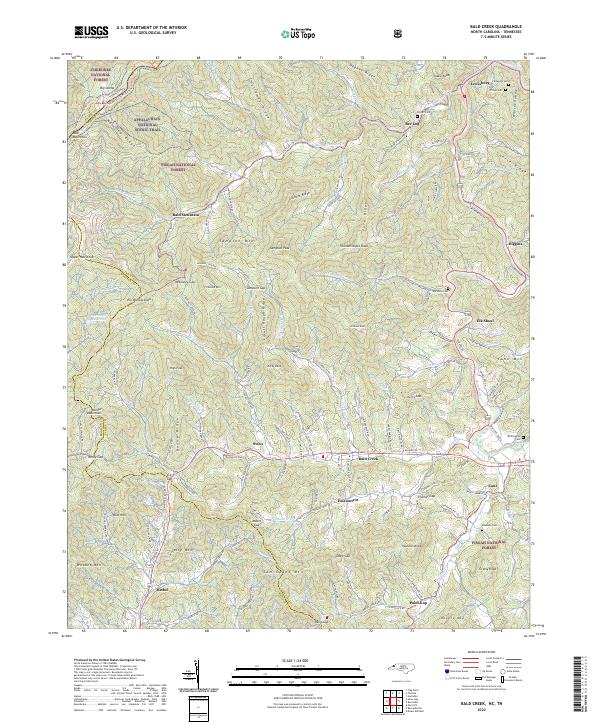 2022 Bald Creek2022 Print · USGSYancey County's high ridges and river valleys are captured here in the early twenty-first century, showing the intersection of public forest lands and small settlements. Genealogists and hikers can trace the Appalachian National Scenic Trail or locate family sites like Phillips Cem and Whittington Cem near Bee Log.
 - 2022 Map of Fines Creek, 2022 Print
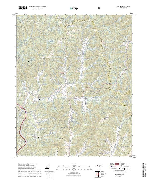 2022 Fines Creek2022 Print · USGSHaywood County’s high-country settlements and family homesteads are documented here as they appeared in the early 2020s. Genealogists can locate numerous family burial grounds like the Woody Cem and Noland Cem alongside the historic Fines Creek community.
 - 2022 Map of Barnardsville, 2022 Print
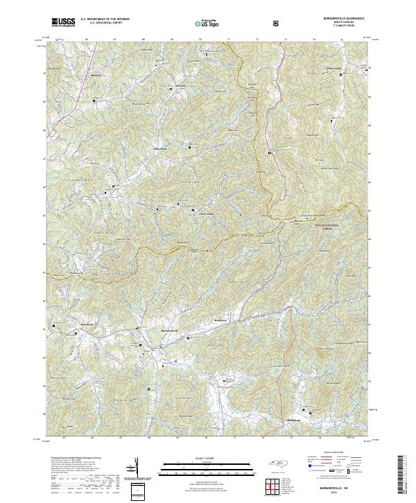 2022 Barnardsville2022 Print · USGSBarnardsville and the surrounding peaks of the Pisgah National Forest are shown in detail as they appeared in the early twenty-first century. Genealogists can trace family heritage through numerous hillside burial grounds, including the Thomas S Dillingham Cem, Big Ivy Cem, and Marshbanks Cem.
 - 2022 Map of Lemon Gap, 2022 Print
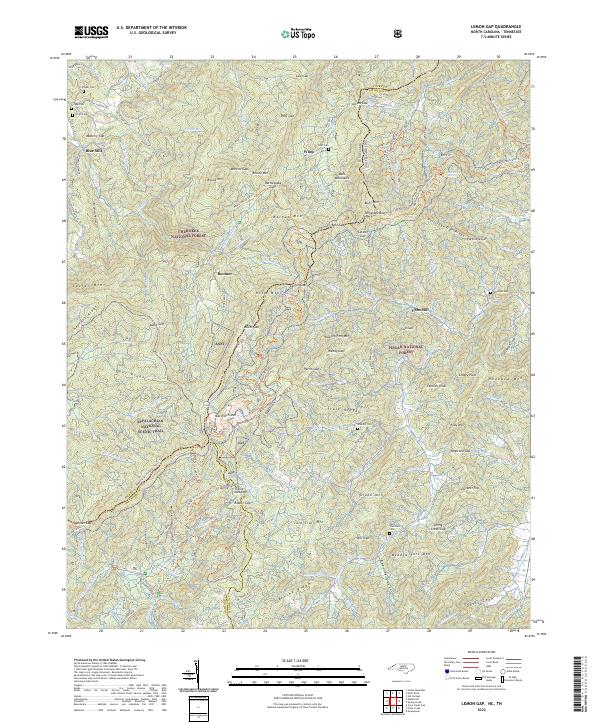 2022 Lemon Gap2022 Print · USGSNorth Carolina's high mountain border is documented here in the early twenty-first century. Genealogists and hikers can trace family roots at Crowder Cem or follow the Appalachian National Scenic Trail past Max Patch Mtn.
 - 2022 Map of Sandymush, 2022 Print
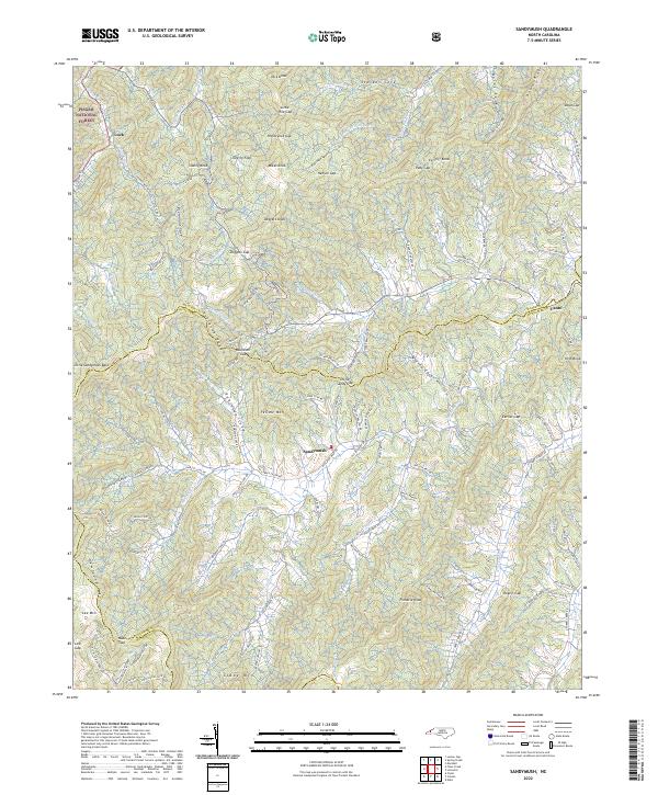 2022 Sandymush2022 Print · USGSThe high country of the Blue Ridge comes into focus in the early 2020s, showing the intricate mountain coves of western North Carolina. Genealogists and hikers can trace the winding paths of Suttle Cove Rd near Sandymush or explore the gaps around Luck.
 - 2022 Map of White Rock, 2022 Print
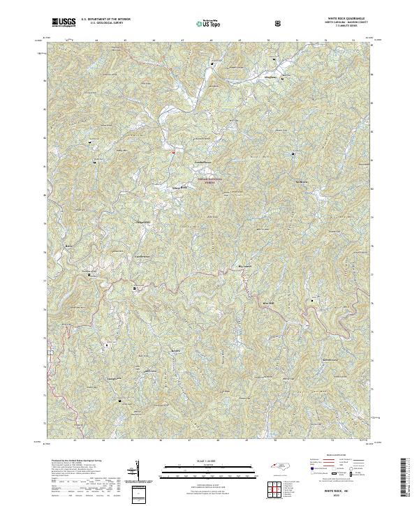 2022 White Rock2022 Print · USGSMadison County communities are mapped here in the early twenty-first century, showing the settlement patterns of the Blue Ridge. Genealogists can trace family footprints across several burial sites like Belva Cem and Gosnell Cem or local crossroads such as Guntertown.
 - 2022 Map of Spring Creek, 2022 Print
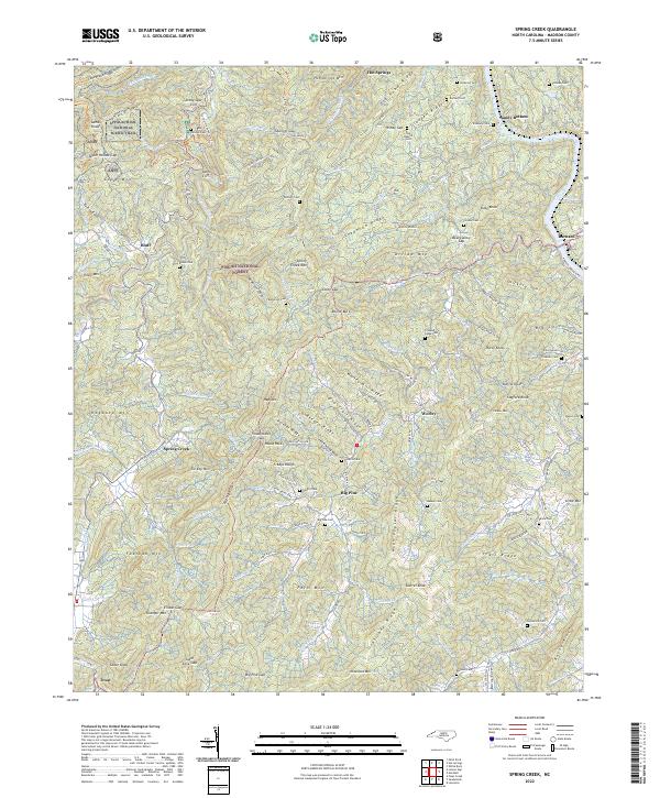 2022 Spring Creek2022 Print · USGSMadison County's high ridges and deep river coves are captured in this recent survey, showcasing the area's rural character. Genealogists and hikers can trace the Appalachian National Scenic Trail or locate family burial sites like Goforth Cem and Brown Cem.
 - 2022 Map of Greystone, 2022 Print
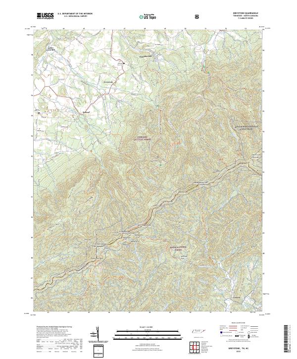 2022 Greystone2022 Print · USGSThe Tennessee and North Carolina border country comes alive on this map, showing the high ridges where the Appalachian National Scenic Trail winds through the Bald Mountains. Genealogists and historians can trace local family landmarks from Water Fork Mill and Hampton Mill to the Mountain View Cem.
 - 2022 Map of Flag Pond, 2022 Print
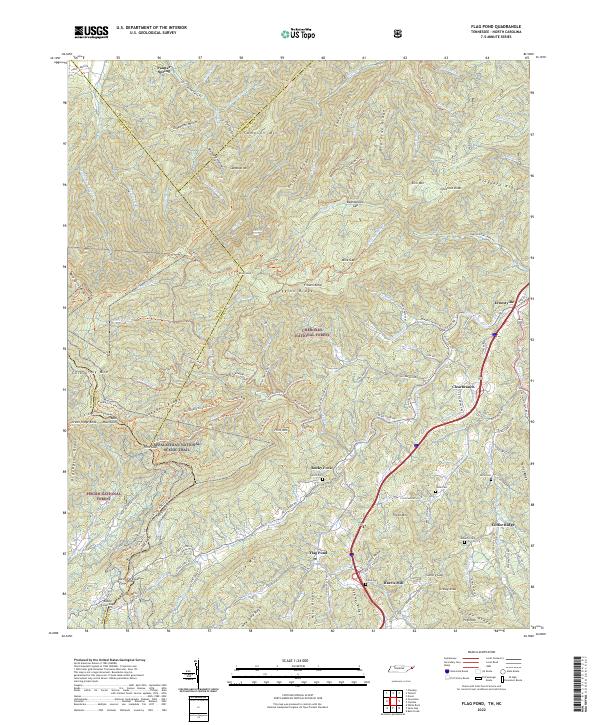 2022 Flag Pond2022 Print · USGSThe Tennessee-North Carolina border country comes alive in this 2022 survey of the Unicoi County highlands. Trace the high-altitude path of the Appalachian National Scenic Trl and locate family landmarks like Ernestville, Flag Pond, and Tilson Cem.
 - 2022 Map of Davy Crockett Lake, 2022 Print
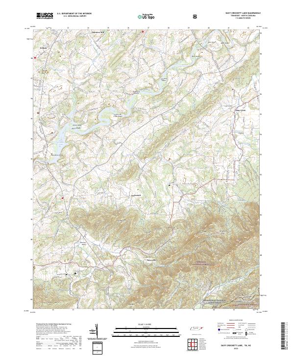 2022 Davy Crockett Lake2022 Print · USGSThe Nolichucky River valley at the Tennessee-North Carolina border shows a landscape shaped by river shoals and mountain gaps. Genealogists and hikers can trace family names and historic paths through Hayesville, Beersheba Cem, and the rugged slopes of Greene Mtn.
End of results
Showing maps 1-16 of 16
Top cities of Madison County
Frequently asked questions
- What are the different types of historical maps available for Madison County?
- What is the oldest map of Madison County?
- Where can I purchase historical maps of Madison County for my home or office?
- Where can I download high-res historical maps of Madison County?
- Are there historical topographic maps available for Madison County?
- Is there historical aerial imagery available for Madison County?
- Where are historical maps of Madison County sourced from?