1940s Maps of Madison County, North Carolina
Explore 20 historic maps of Madison County from the 1940s. These maps offer a rare glimpse into what life looked like during the 1940s — showing old roads, neighborhoods, homes, and landmarks that have changed or disappeared over time.
Whether you're researching your family's past, planning a metal detecting trip, or studying how Madison County's landscape evolved across the 1940s, these high-resolution maps are a powerful tool for exploring the history of this region.
- Focus on a specific era: All maps on this page are from the 1940s, giving you a focused view of this time period.
- See what’s changed: Compare century-old streets, trails, and buildings to today's modern landscape using overlays and satellite layers.
- Research with precision: Use these maps for genealogy, historical research, land use analysis, or educational projects.
- View, download, or print: Maps are fully viewable online in high resolution, and can be downloaded or printed for your own records.
Start exploring Madison County's history through authentic maps from the 1940s. This is your window into the past.
Madison County, NC maps
(20)- 1940 Map of Paint Rock
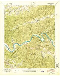 1940 Paint Rock1940 Print · USGSThe French Broad River valley at the Tennessee-North Carolina border is captured here during the 1940s, showing a landscape of mountain gaps and riverside rail settlements. Family historians can locate family plots and early rural schools like Mooneyham Cem, Justis Cem, and the Fugate Sch.4 unique versions available
 - 1940 Map of Davy Crockett Lake
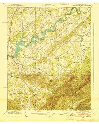 1940 Davy Crockett Lake1940 Print · USGSGreene County, Tennessee, is captured here in the early 1940s just as the Nolichucky River valley was being reshaped by the waters of Lake Davy Crockett. Trace family roots and local history through features like Cove Creek Mill, Price Cem, and the Orphanage.
 - 1940 Map of Sams Gap
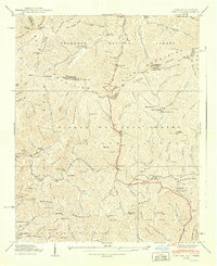 1940 Sams Gap1940 Print · USGSThe high ridges of Madison County were still dominated by small-scale farming and forest life when this survey was completed. Genealogists can trace family footprints across Sams Gap through landmarks like the Robinson Cem, Higgins Chapel, and Halls Store.
 - 1940 Map of Hot Springs
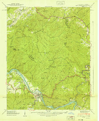 1940 Hot Springs1940 Print · USGSMadison County and the Tennessee borderlands are captured here in the early 1940s, showing the intersection of mountain life and federal work projects. Researchers can trace family history through sites like CCC Camp No F 7, Hurricane Chapel, and the riverfront settlement at Stackhouse.6 unique versions available
 - 1940 Map of White Rock
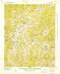 1940 White Rock1940 Print · USGSMadison County's mountain communities are captured here just before the mid-century, showing a landscape defined by creekside settlements and family-named landmarks. Researchers can trace the exact locations of Rice Sch, Rice Mill, and numerous family burial grounds like Belva Cem.2 unique versions available
 - 1940 Map of Lemon Gap
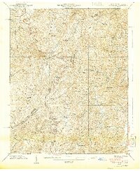 1940 Lemon Gap1940 Print · USGSThe Tennessee and North Carolina borderlands come into focus in the 1940s, showing the high ridges of the Bald Mountains and the Appalachian Trail. Genealogists and hikers can trace old mountain routes like the Jack Trail to family sites including Joe (PO), Ebbs Mill, and Balding Chapel.5 unique versions available
 - 1941 Map of Sandymush, 1957 Print
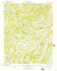 1941 Sandymush1957 Print · USGSThe high ridges and deep coves of the Blue Ridge come alive in this early 1940s survey of the Madison and Buncombe county lines. Local historians can trace family-named gaps and rural congregations like Little Sandymush Ch, Ebenezer Ch, and the remote settlement of Luck.3 unique versions available
 - 1941 Map of Hepco, 1957 Print
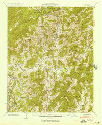 1941 Hepco1957 Print · USGSWestern North Carolina's high country during the early 1940s shows a landscape of isolated mountain coves and tight-knit communities. Researchers can locate the early centers of local life at Fines Creek Ch, the settlement of Hepco, and the high ridges of Sandymush Bald.
 - 1942 Map of Sandymush
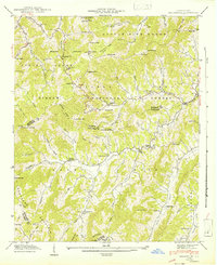 1942 Sandymush1942 Print · USGSThe high ridges of Madison and Buncombe counties come alive in this early 1940s survey, showing mountain life within the Pisgah National Forest. Genealogists can trace family roots at remote landmarks like Lusk Chapel, Chestnut Grove Ch, and Jones Valley Ch.
 - 1942 Map of Hepco
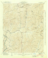 1942 Hepco1942 Print · USGSNorth Carolina's high mountain hollows are documented here during the early 1940s, showing the intersection of three counties and the Pisgah National Forest. Genealogists can locate community centers like Fines Creek Sch, James Chapel, and the isolated Pine Grove Cem.2 unique versions available
 - 1942 Map of Leicester, 1958 Print
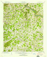 1942 Leicester1958 Print · USGSNorthwestern Buncombe County during the early 1940s is a landscape of tight-knit mountain hollows and riverside rail stops. Genealogists can trace family footprints across Sluder Cem, numerous country churches like Brick Ch, and the many schools serving Leicester and Worley.4 unique versions available
 - 1943 Map of Leicester
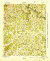 1943 Leicester1943 Print · USGSWestern North Carolina's rural highlands are captured here during the mid-1940s, showing a landscape of tight-knit valley communities and mountain gaps. Researchers can locate vanished landmarks and family sites like Sluder Cem, Teague Chapel, and the Leicester Sch.
 - 1945 Map of Marshall, 1957 Print
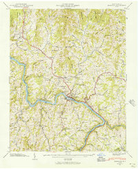 1945 Marshall1957 Print · USGSMadison County in the mid-1940s is defined by the vital transit corridor of the French Broad River and its accompanying rail lines. Genealogists and historians can trace family locations through numerous landmarks like Madison Seminary, Old Station Cem, and Little Pine Sch.6 unique versions available
 - 1945 Map of Mars Hill, 1957 Print
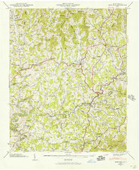 1945 Mars Hill1957 Print · USGSMadison and Buncombe counties are captured in the mid-1940s, showing a landscape of high ridges and deep hollows before modern development. Genealogists can trace family landmarks and rural community centers like Old Bull Creek Ch, Ivy (PO), and the George Cem.4 unique versions available
 - 1946 Map of Mars Hill, 1947 Print
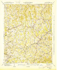 1946 Mars Hill1947 Print · USGSMadison and Buncombe counties come into sharp focus in the mid-1940s, showing a landscape of tight-knit mountain hollows and rural post offices. Genealogists can trace family roots through dozens of sites like Sams Cem, Gabriel Creek Ch, and the Ivy Post Office.
 - 1946 Map of Marshall, 1947 Print
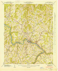 1946 Marshall1947 Print · USGSMadison County at the mid-century shows a landscape defined by the winding French Broad River and the industrial activity of the Southern Railway. Researchers can trace the roots of mountain communities through numerous family burial sites like Runnion Cem and local landmarks such as Madison Seminary.
 - 1946 Map of Spring Creek, 1957 Print
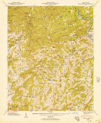 1946 Spring Creek1957 Print · USGSMadison County in the mid-forties remains a landscape of high ridges and isolated hollows within the Pisgah National Forest. Genealogists can trace family names through dozens of sites like Treadway Cem, Gentry Branch, and rural schools like Spring Creek Sch.3 unique versions available
 - 1946 Map of Barnardsville, 1958 Print
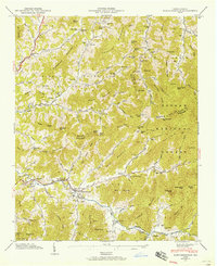 1946 Barnardsville1958 Print · USGSBarnardsville and the surrounding Blue Ridge coves are captured here in the mid-1940s as the Pisgah National Forest boundary meets local farmland. Researchers can trace ancestral locations at Dillingham Cem, find the old Indian Creek Sch, or locate the FFA Camp along the mountain creeks.4 unique versions available
 - 1947 Map of Spring Creek
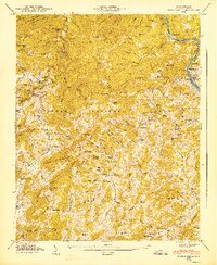 1947 Spring Creek1947 Print · USGSMadison County's mountain interior shows a network of family farms and timbered ridges just after the war. Genealogists can trace family lines through dozen of landmarks like Goforth Cem, Liberty Ch, and the high Duckett Lookout Tower.
 - 1947 Map of Barnardsville
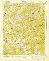 1947 Barnardsville1947 Print · USGSThe mountains of Buncombe and Madison counties are captured here in the mid-1940s. Genealogists can trace family roots through numerous sites like Dillingham Cem, Indian Creek Sch, and the community of Democrat.2 unique versions available
End of results
Showing maps 1-20 of 20
Top cities of Madison County
Frequently asked questions
- What are the different types of historical maps available for Madison County?
- What is the oldest map of Madison County?
- Where can I purchase historical maps of Madison County for my home or office?
- Where can I download high-res historical maps of Madison County?
- Are there historical topographic maps available for Madison County?
- Is there historical aerial imagery available for Madison County?
- Where are historical maps of Madison County sourced from?