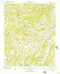
1941 Map of Sandymush
USGS Topo · Published 1957About this map
Pisgah National Forest and the rugged divide between Madison and Buncombe counties dominate this 1941 survey, showing a landscape defined by steep ridges and narrow coves. Small mountain communities and family-named landmarks like Luck and Sandymush are linked by a network of winding mountain roads, including Routes 209, 213, and 63. The settlement pattern follows the drainages of Spring Creek and Sandymush Creek, where social life centered on numerous country churches like Lusk Chapel, Mt Pleasant Ch, and Crossrock Ch.
Find a feature on this map
82 named features on this map. Tap any name to fly to it.
Don’t see what you’re looking for? This feature index may not catch every label — zoom into the map to look around manually.
Map Details
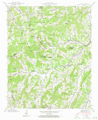
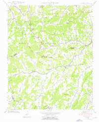
Editions of this 1941 Sandymush Map
3 editions found
Other maps of this area

1894 · Asheville
USGS Topo · 1:125,000

1901 · Asheville
USGS Topo · 1:125,000

1935 · Canton
USGS Topo · 1:24,000

1935 · Clyde
USGS Topo · 1:24,000

1935 · Spring Creek
USGS Topo · 1:24,000

1935 · Lemon Gap
USGS Topo · 1:24,000

1936 · Marshall
USGS Topo · 1:24,000

1936 · Sandymush
USGS Topo · 1:24,000

1936 · Enka
USGS Topo · 1:24,000

1936 · Hepco
USGS Topo · 1:24,000