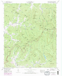
1947 Map of Craggy Pinnacle
USGS Topo · Published 1979About this map
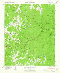
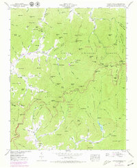
Craggy Mountains and the high ridges of the Pisgah National Forest dominate this landscape, which was field-checked by the Tennessee Valley Authority in the mid-1940s. The topography reveals a mix of early 20th-century mountain living and newer recreational developments. Social centers are marked by country churches like Browns Chapel and Union Valley Ch, while seasonal retreats such as the Blackberry Inn and Camp Sequoyah sit near the waters of Reems Creek. The map records a transition in the local economy toward tourism and conservation, evidenced by the presence of Rattlesnake Lodge and the threading of the Blue Ridge Parkway along the crests. For genealogists, several family-named burial grounds including Ballard Cem and Anderson Cem are carefully noted near the headwaters of Paint Fork.
Find a feature on this map
117 named features on this map. Tap any name to fly to it.
Don’t see what you’re looking for? This feature index may not catch every label — zoom into the map to look around manually.
Map Details
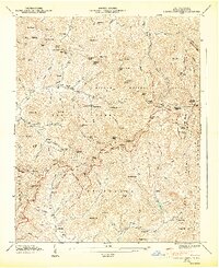
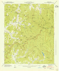
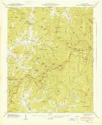
Editions of this 1947 Craggy Pinnacle Map
6 editions found
Other maps of this area

1894 · Asheville
USGS Topo · 1:125,000

1900 · Mount Mitchell
USGS Topo · 1:125,000

1901 · Asheville
USGS Topo · 1:125,000

1902 · Mount Mitchell
USGS Topo · 1:125,000

1935 · Montreat
USGS Topo · 1:24,000

1935 · Black Brothers
USGS Topo · 1:24,000

1935 · Black Mountain
USGS Topo · 1:24,000

1935 · Barnardsville
USGS Topo · 1:24,000

1935 · Craggy Pinnacle
USGS Topo · 1:24,000

1936 · Weaverville
USGS Topo · 1:24,000