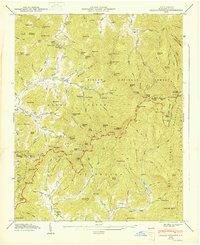
1947 Map of Craggy Pinnacle
USGS Topo · Published 1947About this map
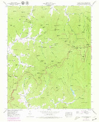
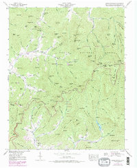
Pisgah National Forest dominates this landscape northeast of Asheville, where the winding Blue Ridge Parkway traces the high ridges of the Asheville Mountains and Bull Mountain. This 1946 field examination captures the mountain communities of the Reems Creek and Swannanoa areas just as post-war recreation began to reshape the region. Distinctive landmarks like the Lookout Tower near Little Snowball Mtn and the isolated Blackberry Inn sit alongside established gathering places like Camp Sequoyah. Local genealogy is well-preserved through numerous family and community sites, including Browns Chapel, Riceville Ch, and several mountain cemeteries such as Webb Cem and Paint Fork Cem. The topography reveals the intricate water network feeding the Weaverville Reservoir and the headwaters of Flat Creek and Sugar Creek before modern development altered these high-elevation coves.
Find a feature on this map
121 named features on this map. Tap any name to fly to it.
Don’t see what you’re looking for? This feature index may not catch every label — zoom into the map to look around manually.
Map Details
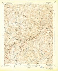
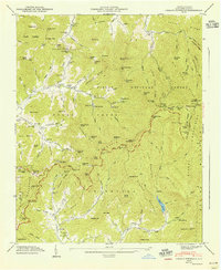
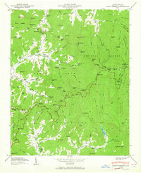
Editions of this 1947 Craggy Pinnacle Map
6 editions found
Other maps of this area

1894 · Asheville
USGS Topo · 1:125,000

1900 · Mount Mitchell
USGS Topo · 1:125,000

1901 · Asheville
USGS Topo · 1:125,000

1902 · Mount Mitchell
USGS Topo · 1:125,000

1935 · Montreat
USGS Topo · 1:24,000

1935 · Black Brothers
USGS Topo · 1:24,000

1935 · Black Mountain
USGS Topo · 1:24,000

1935 · Barnardsville
USGS Topo · 1:24,000

1935 · Craggy Pinnacle
USGS Topo · 1:24,000

1936 · Weaverville
USGS Topo · 1:24,000