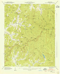
1947 Map of Craggy Pinnacle
USGS Topo · Published 1947About this map
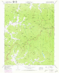
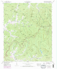
The Blue Ridge Parkway winds through the high elevations of the Craggy Mountains in this post-war survey of Buncombe County. This map documents a transition in the landscape where established mountain communities like Riceville and Paint Fork exist alongside developing recreational and conservation areas. The high ridges are anchored by Craggy Pinnacle and Craggy Gardens, while the valleys below are dotted with family heritage sites, including the Paint Fork Cem and Anderson Cem. The presence of Rattlesnake Lodge and Camp Sequoyah indicates the area's mid-century role as a retreat destination. Water management is evident through the Woodfin Res and Beetree Reservoir, which capture the runoff from peaks like Little Snowball Mtn and Hawkbill Rock. This map is particularly useful for genealogists tracing families associated with Browns Chapel or the numerous small cemeteries found along the forks and branches of Reems Creek.
Find a feature on this map
133 named features on this map. Tap any name to fly to it.
Don’t see what you’re looking for? This feature index may not catch every label — zoom into the map to look around manually.
Map Details
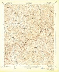
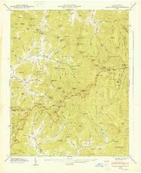
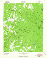
Editions of this 1947 Craggy Pinnacle Map
6 editions found
Other maps of this area

1894 · Asheville
USGS Topo · 1:125,000

1900 · Mount Mitchell
USGS Topo · 1:125,000

1901 · Asheville
USGS Topo · 1:125,000

1902 · Mount Mitchell
USGS Topo · 1:125,000

1935 · Montreat
USGS Topo · 1:24,000

1935 · Black Brothers
USGS Topo · 1:24,000

1935 · Black Mountain
USGS Topo · 1:24,000

1935 · Barnardsville
USGS Topo · 1:24,000

1935 · Craggy Pinnacle
USGS Topo · 1:24,000

1936 · Weaverville
USGS Topo · 1:24,000