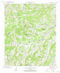
1941 Map of Sandymush
USGS Topo · Published 1972About this map
Pisgah National Forest covers much of this high-country landscape, where the boundaries of Madison, Buncombe, and Haywood counties converge. The 1941 field examination records a scattered network of rural mountain communities defined by their small houses of worship and family-named gaps. Along the waters of Sandymush Creek and its tributaries, small settlements like Luck and Canto are linked by winding routes such as 213 and 63. The topographic detail highlights the spiritual center of these valleys, including Little Sandymush Ch, Chestnut Grove Ch, and Mt Pleasant Ch.
Find a feature on this map
87 named features on this map. Tap any name to fly to it.
Don’t see what you’re looking for? This feature index may not catch every label — zoom into the map to look around manually.
Map Details
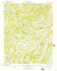
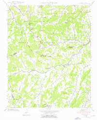
Editions of this 1941 Sandymush Map
3 editions found
Other maps of this area

1894 · Asheville
USGS Topo · 1:125,000

1901 · Asheville
USGS Topo · 1:125,000

1935 · Canton
USGS Topo · 1:24,000

1935 · Clyde
USGS Topo · 1:24,000

1935 · Spring Creek
USGS Topo · 1:24,000

1935 · Lemon Gap
USGS Topo · 1:24,000

1936 · Marshall
USGS Topo · 1:24,000

1936 · Sandymush
USGS Topo · 1:24,000

1936 · Enka
USGS Topo · 1:24,000

1936 · Hepco
USGS Topo · 1:24,000