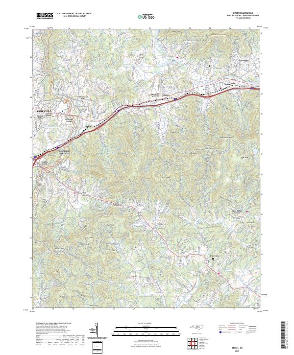
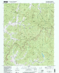
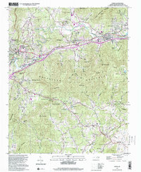
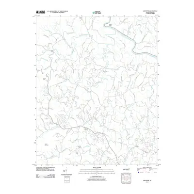
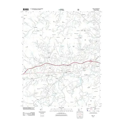
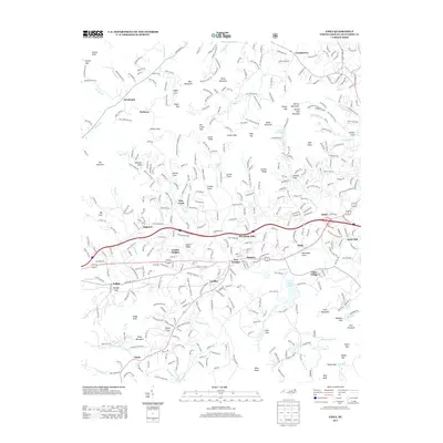
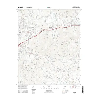
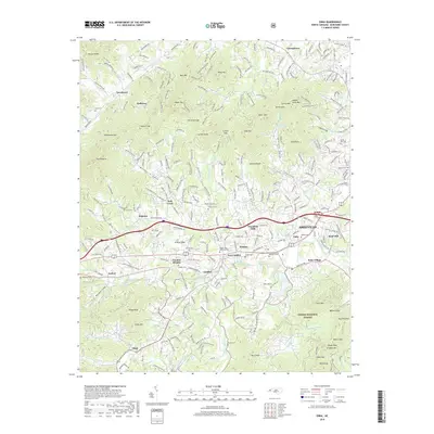
2022 Map of Oteen
USGS Topo · Published 2022About this map
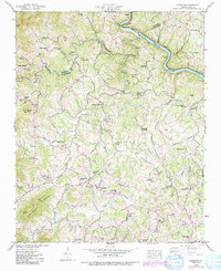
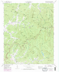
Warren Wilson College sits along the Swannanoa River in this modern topographic study of eastern Buncombe County. The terrain is defined by the sharp elevations of the Great Craggy Mountains to the north and the Swannanoa Mountains through the center, creating a landscape of isolated coves and high gaps. These natural corridors have long shaped the settlement patterns of the region, from the residential pockets of Grovemont and Sherwood Forest to the clustered development of Swannanoa along the river valley.
Find a feature on this map
65 named features on this map. Tap any name to fly to it.
Don’t see what you’re looking for? This feature index may not catch every label — zoom into the map to look around manually.
Map Details
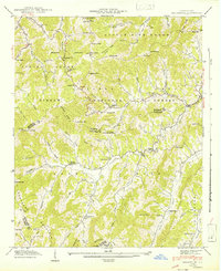
Editions of this 2022 Oteen Map
This is the sole edition of this map. No revisions or reprints were ever made.
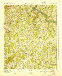
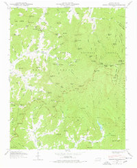
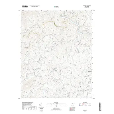
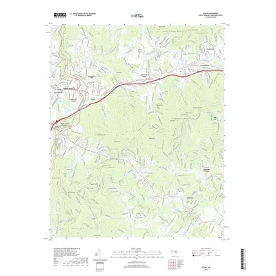
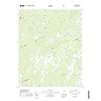
Historical Maps of Asheville Through Time
53 maps found

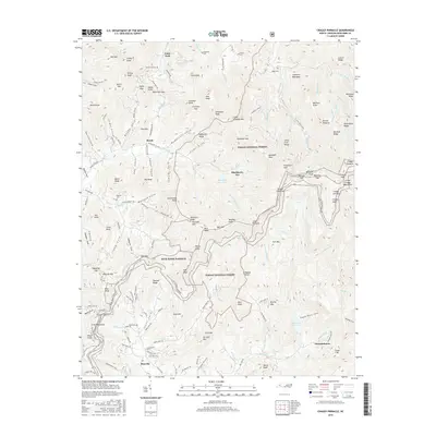
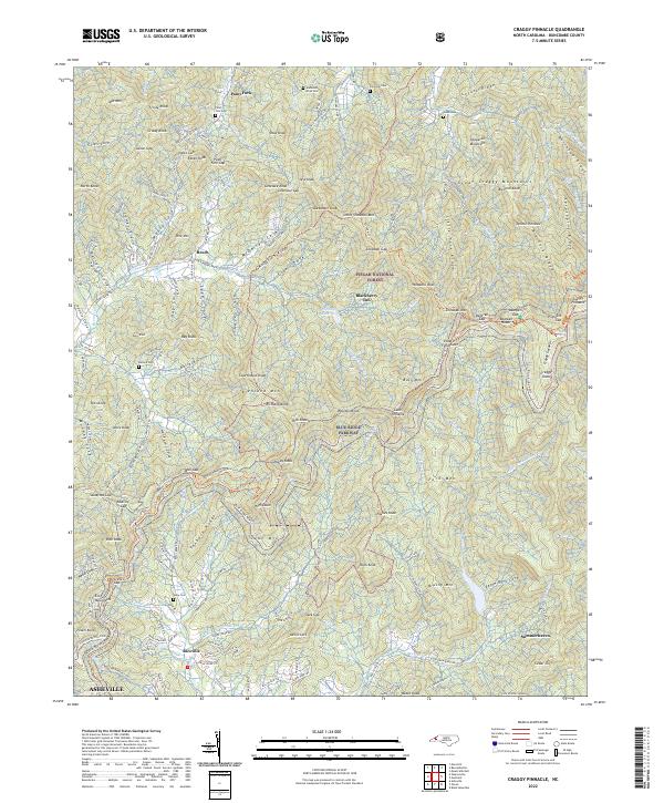
1935 Craggy Pinnacle
Buncombe County, NC

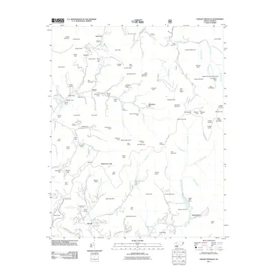
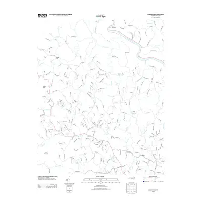
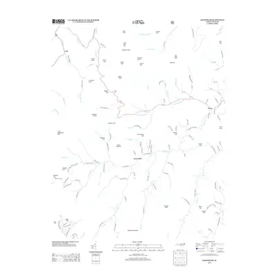
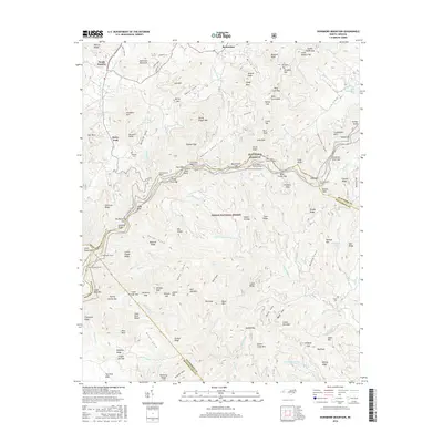
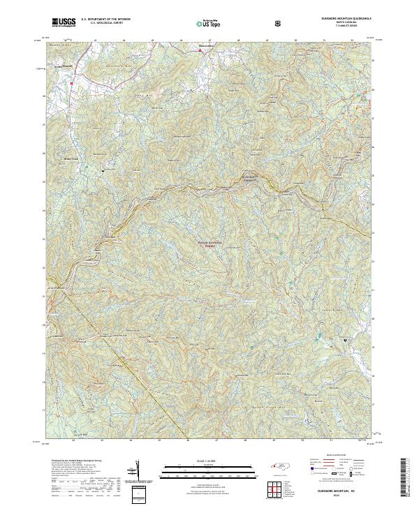
1936 Dunsmore Mountain
Buncombe County, NC

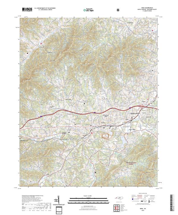
1936 Enka
Buncombe County, NC
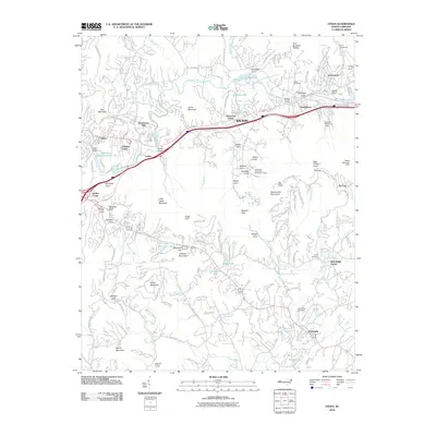
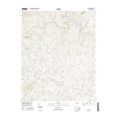
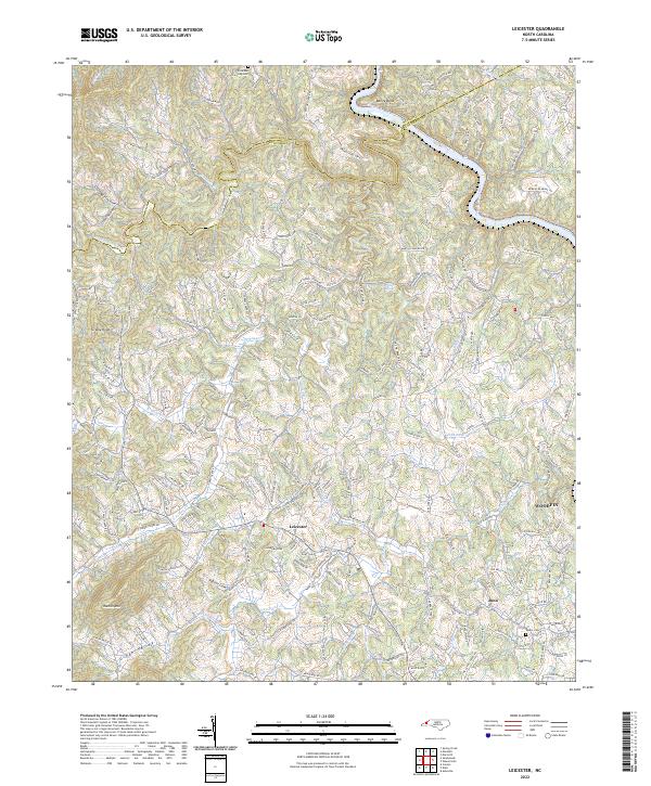
1936 Leicester
Buncombe County, NC

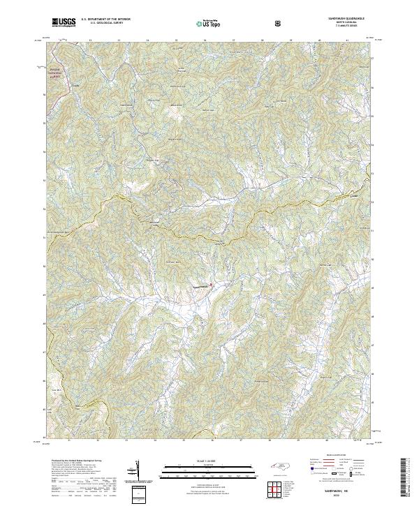
1936 Sandymush
Buncombe County, NC

1941 Enka
Buncombe County, NC
1941 Sandymush
Buncombe County, NC
1942 Dunsmore Mountain
Buncombe County, NC

1942 Enka
Buncombe County, NC
1942 Leicester
Buncombe County, NC
1942 Sandymush
Buncombe County, NC

1943 Dunsmore Mountain
Buncombe County, NC
1943 Leicester
Buncombe County, NC
1946 Craggy Pinnacle
Buncombe County, NC
1947 Craggy Pinnacle
Buncombe County, NC
1961 Enka
Buncombe County, NC
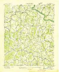
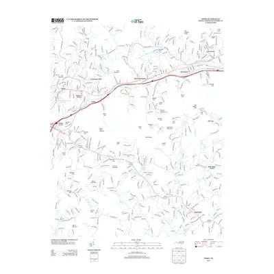
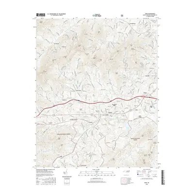
1962 Oteen
Buncombe County, NC
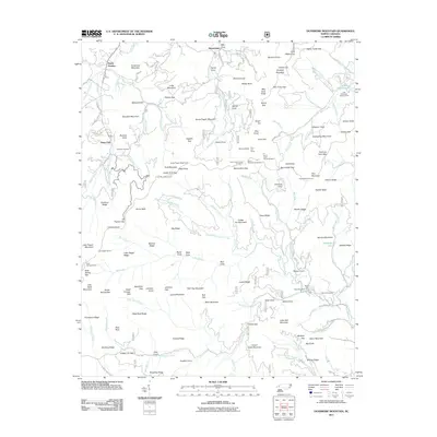
1967 Dunsmore Mountain
Buncombe County, NC
1976 Enka
Buncombe County, NC
1997 Craggy Pinnacle
Buncombe County, NC

1997 Dunsmore Mountain
Buncombe County, NC
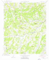
1997 Oteen
Buncombe County, NC
1998 Enka
Buncombe County, NC
2010 Leicester
Buncombe County, NC
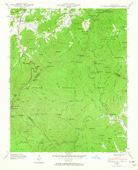
2010 Oteen
Buncombe County, NC
2011 Craggy Pinnacle
Buncombe County, NC
2011 Dunsmore Mountain
Buncombe County, NC
2011 Enka
Buncombe County, NC
2011 Sandymush
Buncombe County, NC
2013 Craggy Pinnacle
Buncombe County, NC
2013 Dunsmore Mountain
Buncombe County, NC
2013 Enka
Buncombe County, NC
2013 Leicester
Buncombe County, NC
2013 Oteen
Buncombe County, NC
2013 Sandymush
Buncombe County, NC
2016 Craggy Pinnacle
Buncombe County, NC
2016 Dunsmore Mountain
Buncombe County, NC
2016 Enka
Buncombe County, NC
2016 Leicester
Buncombe County, NC
2016 Oteen
Buncombe County, NC
2016 Sandymush
Buncombe County, NC
2019 Craggy Pinnacle
Buncombe County, NC
2019 Dunsmore Mountain
Buncombe County, NC
2019 Enka
Buncombe County, NC
2019 Leicester
Buncombe County, NC
2019 Oteen
Buncombe County, NC
2019 Sandymush
Buncombe County, NC
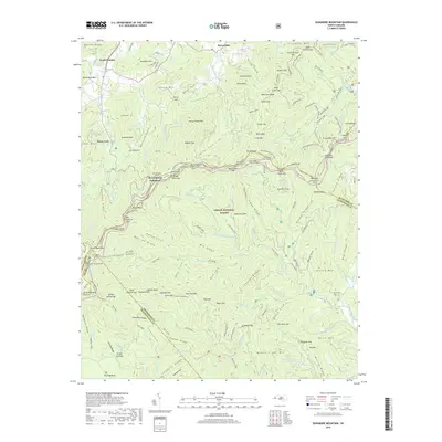
2022 Craggy Pinnacle
Buncombe County, NC
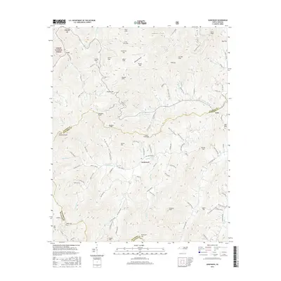
2022 Dunsmore Mountain
Buncombe County, NC
2022 Enka
Buncombe County, NC
2022 Leicester
Buncombe County, NC
2022 Oteen
Buncombe County, NC
2022 Sandymush
Buncombe County, NC