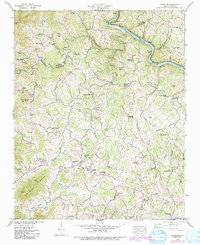
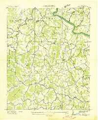
1942 Map of Leicester
USGS Topo · Published 1991About this map
Leicester and the surrounding Buncombe County landscape are captured during a period of transition as traditional rural patterns met early automotive infrastructure. The Dixie Highway winds through the region, providing a primary artery for travel through the Appalachian foothills. The community structure is anchored by localized centers of education and faith, such as the Leicester Sch, Piney Grove Sch, and the distinctive Brick Ch.
Find a feature on this map
50 named features on this map. Tap any name to fly to it.
Don’t see what you’re looking for? This feature index may not catch every label — zoom into the map to look around manually.
Map Details
Editions of this 1942 Leicester Map
4 editions found
Other maps of this area

1894 · Asheville
USGS Topo · 1:125,000

1901 · Asheville
USGS Topo · 1:125,000

1935 · Canton
USGS Topo · 1:24,000

1935 · Spring Creek
USGS Topo · 1:24,000

1936 · Marshall
USGS Topo · 1:24,000

1936 · Sandymush
USGS Topo · 1:24,000

1936 · Enka
USGS Topo · 1:24,000

1936 · Weaverville
USGS Topo · 1:24,000

1936 · Mars Hill
USGS Topo · 1:24,000
1936 · Leicester
USGS Topo · 1:24,000