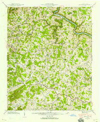
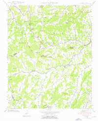
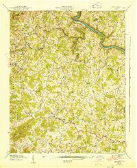
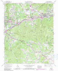
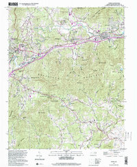
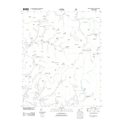
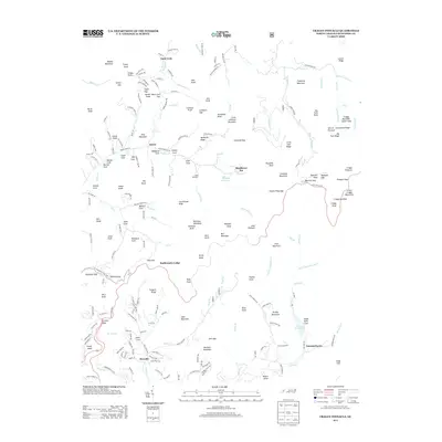
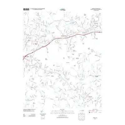
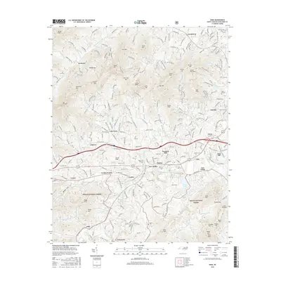
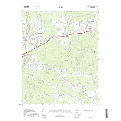
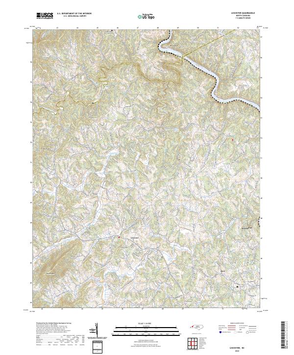
1942 Map of Leicester
USGS Topo · Published 1958About this map
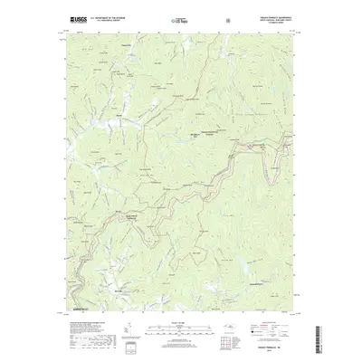
Leicester serves as a central hub for this rural stretch of the Blue Ridge foothills during the early 1940s, where small-scale agriculture follows the winding paths of Newfound Creek and Turkey Creek. The landscape is defined by its numerous community anchors, particularly a high density of country churches and local schools such as Leicester Sch and French Broad Sch that supported scattered farmsteads before modern consolidation. To the north, the French Broad River carves through the terrain at Bailey Bend, accompanied by the Southern railroad line.
Find a feature on this map
59 named features on this map. Tap any name to fly to it.
Don’t see what you’re looking for? This feature index may not catch every label — zoom into the map to look around manually.
Map Details
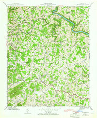
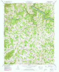
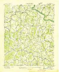
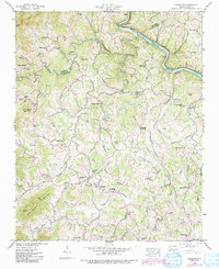
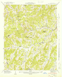
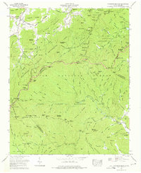
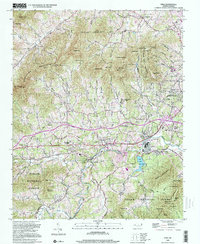
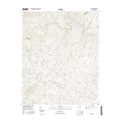
Editions of this 1942 Leicester Map
4 editions found
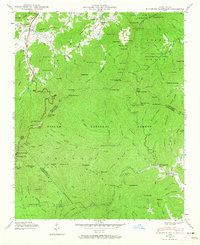
Historical Maps of Woodfin Through Time
53 maps found

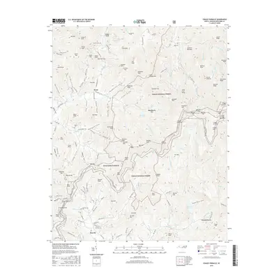
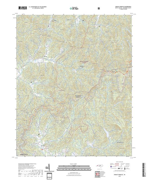
1935 Craggy Pinnacle
Buncombe County, NC

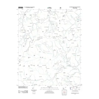
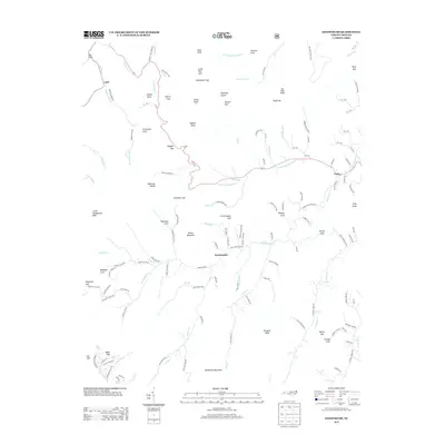
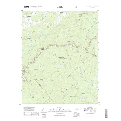
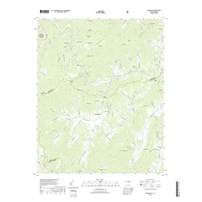
1936 Dunsmore Mountain
Buncombe County, NC

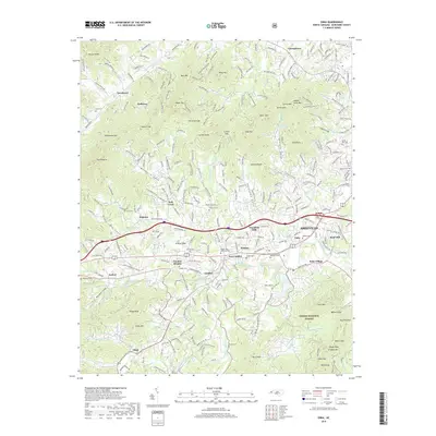
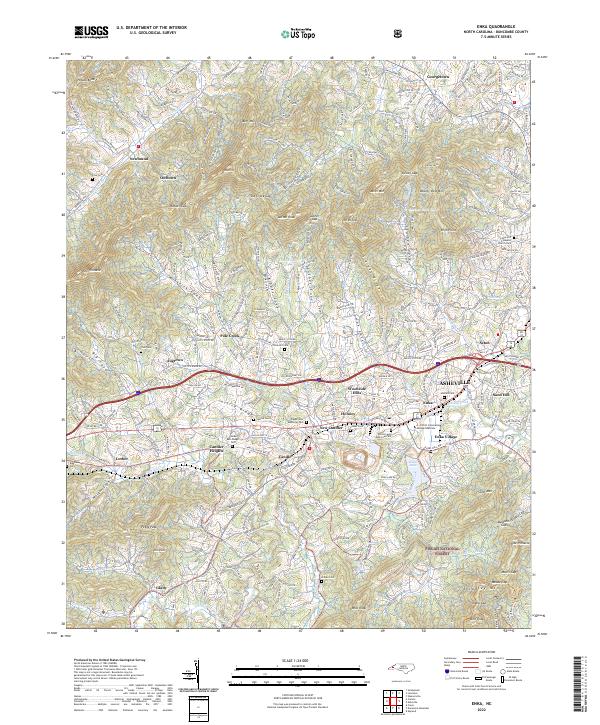
1936 Enka
Buncombe County, NC
1936 Leicester
Buncombe County, NC

1936 Sandymush
Buncombe County, NC

1941 Enka
Buncombe County, NC
1941 Sandymush
Buncombe County, NC
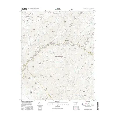
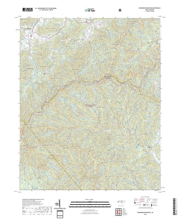
1942 Dunsmore Mountain
Buncombe County, NC

1942 Enka
Buncombe County, NC
1942 Leicester
Buncombe County, NC
1942 Sandymush
Buncombe County, NC

1943 Dunsmore Mountain
Buncombe County, NC
1943 Leicester
Buncombe County, NC
1946 Craggy Pinnacle
Buncombe County, NC
1947 Craggy Pinnacle
Buncombe County, NC
1961 Enka
Buncombe County, NC
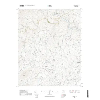
1962 Oteen
Buncombe County, NC
1967 Dunsmore Mountain
Buncombe County, NC
1976 Enka
Buncombe County, NC
1997 Craggy Pinnacle
Buncombe County, NC

1997 Dunsmore Mountain
Buncombe County, NC
1997 Oteen
Buncombe County, NC
1998 Enka
Buncombe County, NC
2010 Leicester
Buncombe County, NC
2010 Oteen
Buncombe County, NC
2011 Craggy Pinnacle
Buncombe County, NC
2011 Dunsmore Mountain
Buncombe County, NC
2011 Enka
Buncombe County, NC
2011 Sandymush
Buncombe County, NC
2013 Craggy Pinnacle
Buncombe County, NC
2013 Dunsmore Mountain
Buncombe County, NC
2013 Enka
Buncombe County, NC
2013 Leicester
Buncombe County, NC
2013 Oteen
Buncombe County, NC
2013 Sandymush
Buncombe County, NC
2016 Craggy Pinnacle
Buncombe County, NC
2016 Dunsmore Mountain
Buncombe County, NC
2016 Enka
Buncombe County, NC
2016 Leicester
Buncombe County, NC
2016 Oteen
Buncombe County, NC
2016 Sandymush
Buncombe County, NC
2019 Craggy Pinnacle
Buncombe County, NC
2019 Dunsmore Mountain
Buncombe County, NC
2019 Enka
Buncombe County, NC
2019 Leicester
Buncombe County, NC
2019 Oteen
Buncombe County, NC
2019 Sandymush
Buncombe County, NC
2022 Craggy Pinnacle
Buncombe County, NC
2022 Dunsmore Mountain
Buncombe County, NC
2022 Enka
Buncombe County, NC
2022 Leicester
Buncombe County, NC
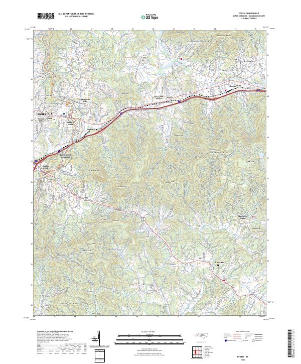
2022 Oteen
Buncombe County, NC
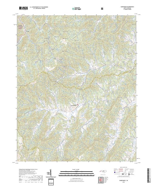
2022 Sandymush
Buncombe County, NC