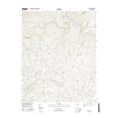
2016 Map of Leicester
USGS Topo · Published 2016About this map
The French Broad River carves through the northern reaches of this Buncombe County landscape, defining the sharp turn at Bailey Bend before heading toward the Madison County line. This 2016 survey illustrates the intricate drainage network of the Blue Ridge foothills, where Sandymush Creek and the various branches of Turkey Creek have shaped the local topography. The settlement of Leicester serves as a central hub, surrounded by named geographical features like Patton Cove and Green Valley.
Find a feature on this map
163 named features on this map. Tap any name to fly to it.
Don’t see what you’re looking for? This feature index may not catch every label — zoom into the map to look around manually.
Map Details
Editions of this 2016 Leicester Map
This is the sole edition of this map. No revisions or reprints were ever made.
Other maps of this area

1894 · Asheville
USGS Topo · 1:125,000

1901 · Asheville
USGS Topo · 1:125,000

1935 · Canton
USGS Topo · 1:24,000

1935 · Spring Creek
USGS Topo · 1:24,000

1936 · Marshall
USGS Topo · 1:24,000

1936 · Sandymush
USGS Topo · 1:24,000

1936 · Enka
USGS Topo · 1:24,000

1936 · Weaverville
USGS Topo · 1:24,000

1936 · Mars Hill
USGS Topo · 1:24,000
1936 · Leicester
USGS Topo · 1:24,000