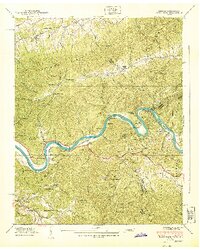
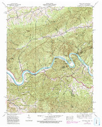
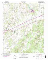
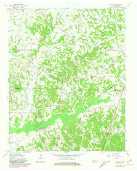
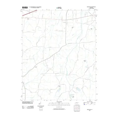
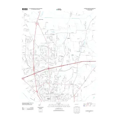
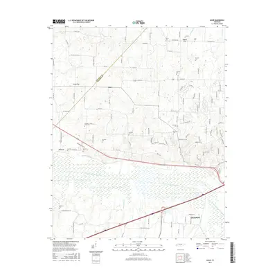
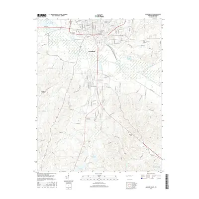
1940 Map of Paint Rock
USGS Topo · Published 1940About this map
The French Broad River carves a deep, winding course through the Pisgah National Forest and Cherokee Mountains at the border of Tennessee and North Carolina. This pre-war landscape is defined by its isolated mountain gaps and the river-bound community of Paint Rock. The Southern railroad line tracks the southern bank of the river, connecting riverside hamlets like Lanceville to the wider region.
Find a feature on this map
50 named features on this map. Tap any name to fly to it.
Don’t see what you’re looking for? This feature index may not catch every label — zoom into the map to look around manually.
Map Details
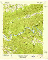
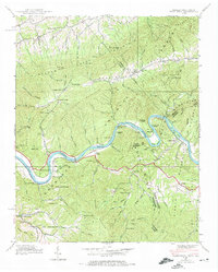
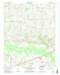
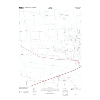
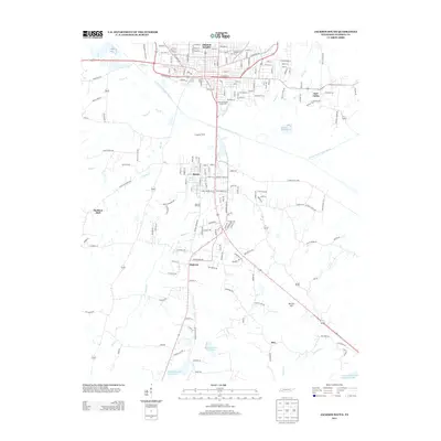
Editions of this 1940 Paint Rock Map
4 editions found
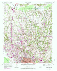
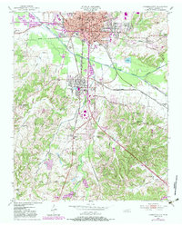
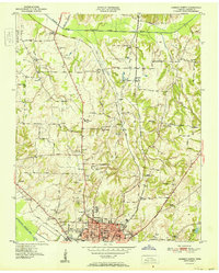
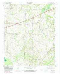
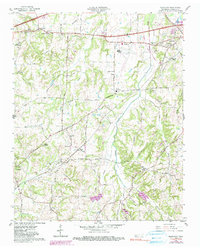
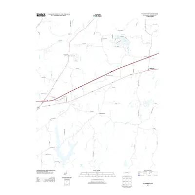
Historical Maps of Wolf Creek Through Time
46 maps found
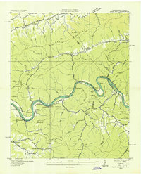
1935 Paint Rock
Madison County, TN
1940 Paint Rock
Madison County, TN
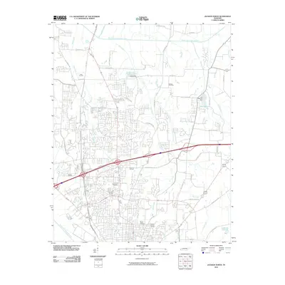
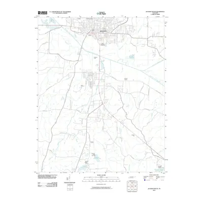
1950 Jackson North
Madison County, TN
1950 Jackson South
Madison County, TN
1951 Jackson North
Madison County, TN
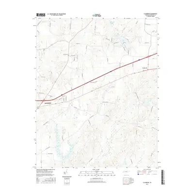
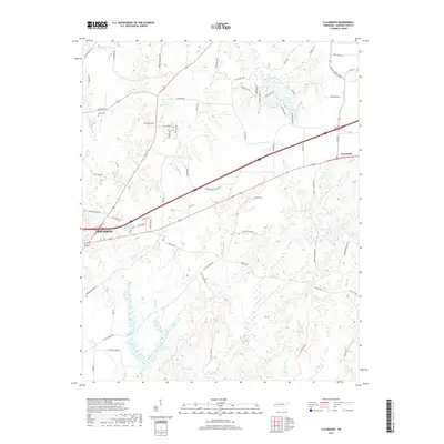
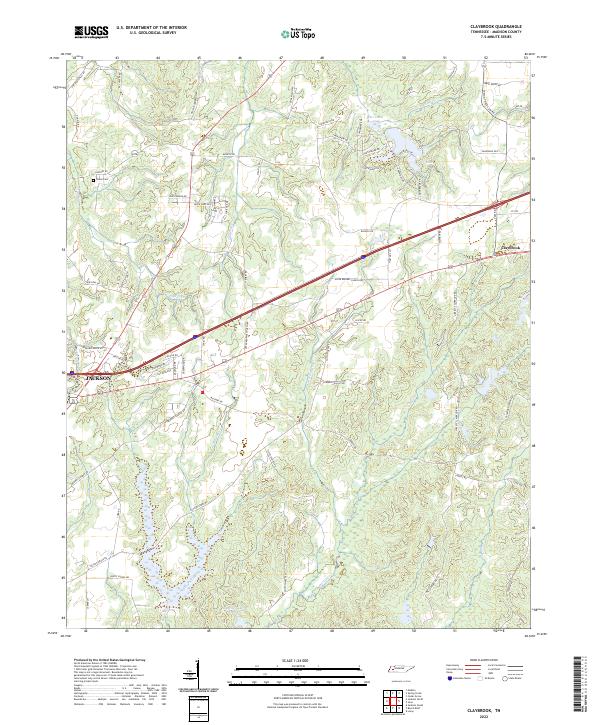
1953 Claybrook
Madison County, TN
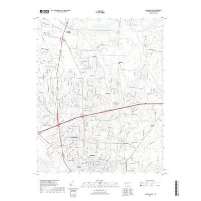
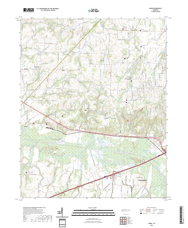
1959 Adair
Madison County, TN
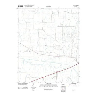
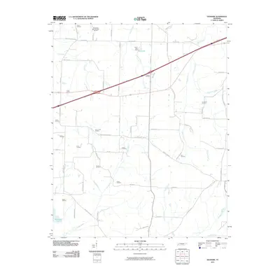
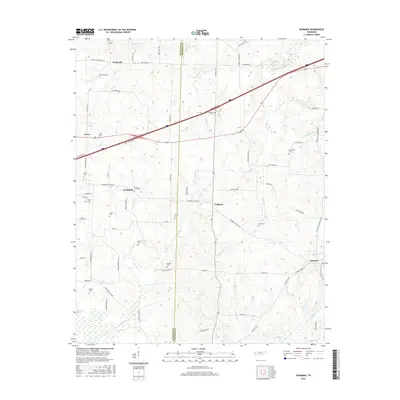
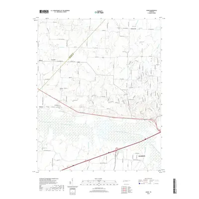
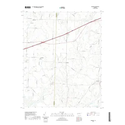
1959 Denmark
Madison County, TN
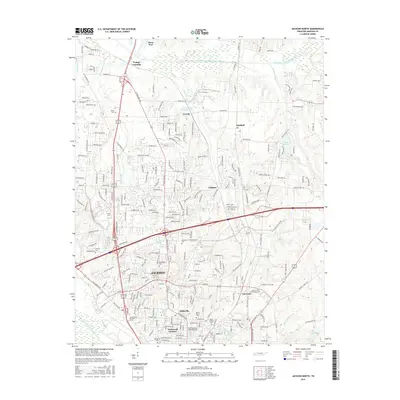
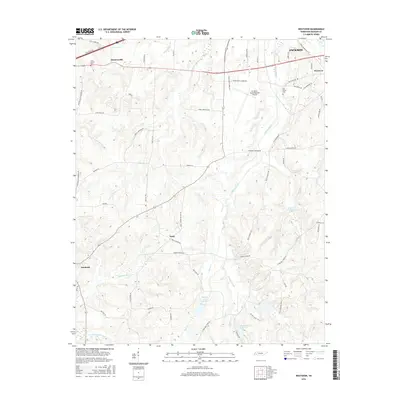
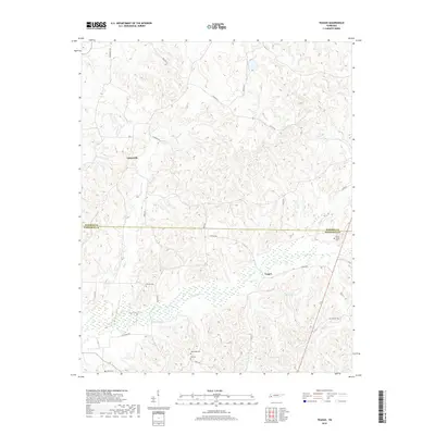
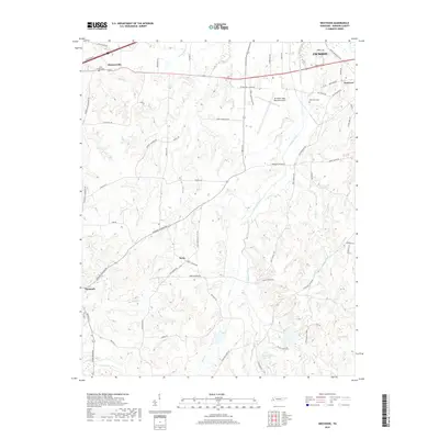
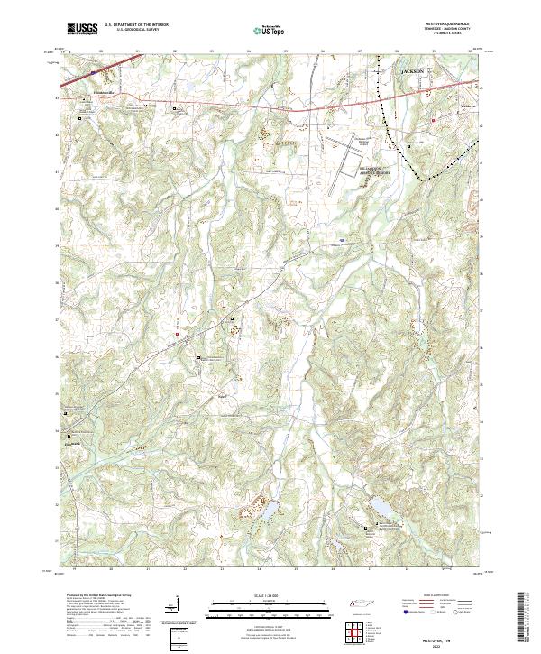
1959 Westover
Madison County, TN
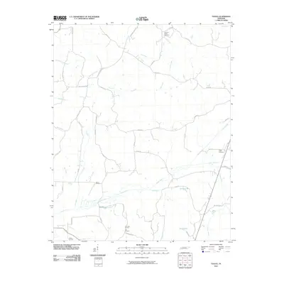
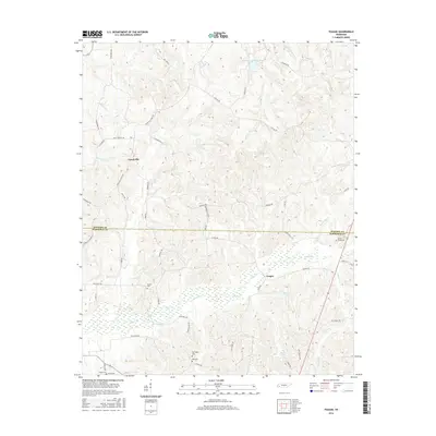
1961 Teague
Madison County, TN
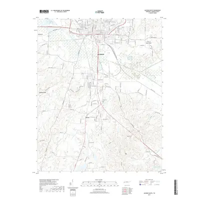
1997 Jackson North
Madison County, TN
2010 Adair
Madison County, TN
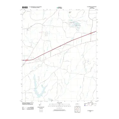
2010 Claybrook
Madison County, TN
2010 Denmark
Madison County, TN
2010 Jackson North
Madison County, TN
2010 Jackson South
Madison County, TN
2010 Teague
Madison County, TN
2010 Westover
Madison County, TN
2013 Adair
Madison County, TN
2013 Claybrook
Madison County, TN
2013 Denmark
Madison County, TN
2013 Jackson North
Madison County, TN
2013 Jackson South
Madison County, TN
2013 Teague
Madison County, TN
2013 Westover
Madison County, TN
2016 Adair
Madison County, TN
2016 Claybrook
Madison County, TN
2016 Denmark
Madison County, TN
2016 Jackson North
Madison County, TN
2016 Jackson South
Madison County, TN
2016 Teague
Madison County, TN
2016 Westover
Madison County, TN
2019 Adair
Madison County, TN
2019 Claybrook
Madison County, TN
2019 Denmark
Madison County, TN
2019 Jackson North
Madison County, TN
2019 Jackson South
Madison County, TN
2019 Teague
Madison County, TN
2019 Westover
Madison County, TN
2022 Adair
Madison County, TN
2022 Claybrook
Madison County, TN
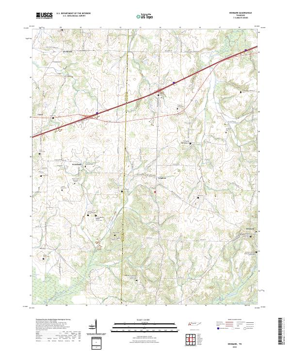
2022 Denmark
Madison County, TN
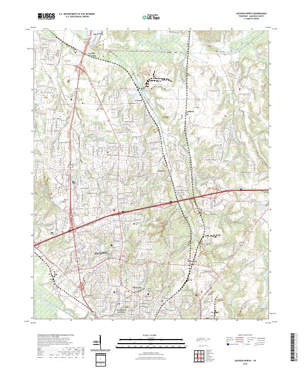
2022 Jackson North
Madison County, TN
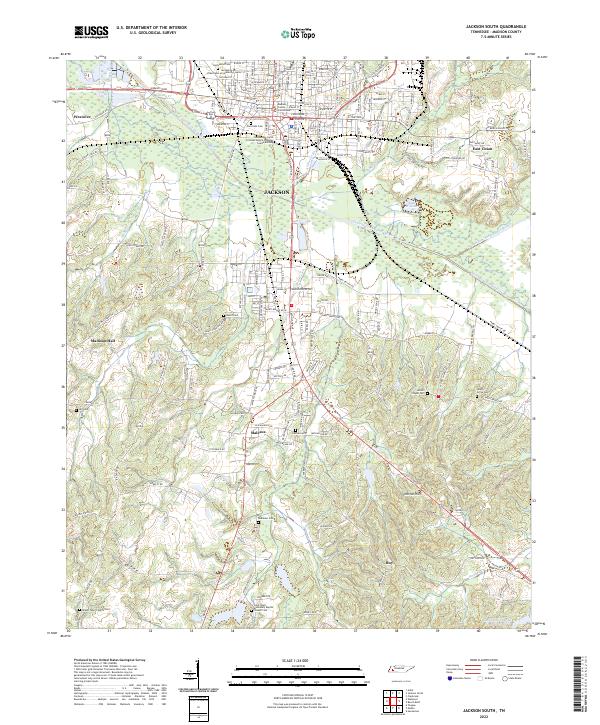
2022 Jackson South
Madison County, TN
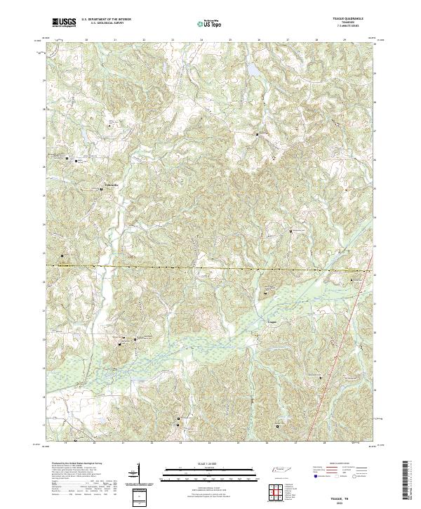
2022 Teague
Madison County, TN
2022 Westover
Madison County, TN