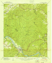
1940 Map of Hot Springs
USGS Topo · Published 1940About this map
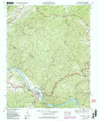
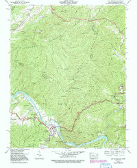
Hot Springs serves as the primary hub along the French Broad River at a time when mountain tourism and federal infrastructure projects converged in Madison County. The town is marked by its notable hot springs and a complex network of riverside transportation, including the Southern railroad and the Dixie Highway. Just south of the town center, CCC Camp No F 7 indicates the active presence of the Civilian Conservation Corps during this era.
Find a feature on this map
100 named features on this map. Tap any name to fly to it.
Don’t see what you’re looking for? This feature index may not catch every label — zoom into the map to look around manually.
Map Details
Editions of this 1940 Hot Springs Map
6 editions found
Other maps of this area

1892 · Greeneville
USGS Topo · 1:125,000

1894 · Asheville
USGS Topo · 1:125,000

1896 · Greeneville
USGS Topo · 1:125,000

1901 · Asheville
USGS Topo · 1:125,000

1904 · Greeneville
USGS Topo · 1:125,000

1935 · Paint Rock
USGS Topo · 1:24,000

1935 · Cedar Creek
USGS Topo · 1:24,000

1935 · Hot Springs
USGS Topo · 1:24,000

1935 · Spring Creek
USGS Topo · 1:24,000

1935 · Lemon Gap
USGS Topo · 1:24,000