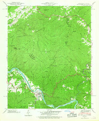
1940 Map of Hot Springs
USGS Topo · Published 1968About this map
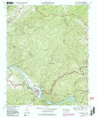
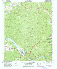
Hot Springs sits at the heart of this landscape where the French Broad River cuts through the mountains along the North Carolina Tennessee border. This survey, based on 1940 field work, details a critical junction of transport and conservation history. The Southern Railway follows the river's path, connecting the settlements of Stackhouse, Runion, and Shaleville to the regional economy. Higher in the ridges, the nascent Appalachian Trail winds past Rich Mountain and its Lookout Tower, while the Dixie Highway provides early motorized access through the valley.
Find a feature on this map
123 named features on this map. Tap any name to fly to it.
Don’t see what you’re looking for? This feature index may not catch every label — zoom into the map to look around manually.
Map Details
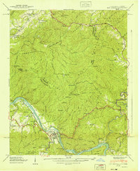
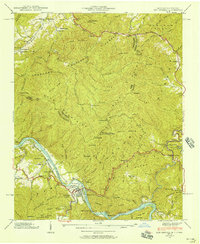
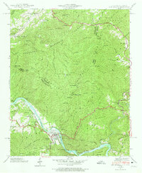
Editions of this 1940 Hot Springs Map
6 editions found
Other maps of this area

1892 · Greeneville
USGS Topo · 1:125,000

1894 · Asheville
USGS Topo · 1:125,000

1896 · Greeneville
USGS Topo · 1:125,000

1901 · Asheville
USGS Topo · 1:125,000

1904 · Greeneville
USGS Topo · 1:125,000

1935 · Paint Rock
USGS Topo · 1:24,000

1935 · Cedar Creek
USGS Topo · 1:24,000

1935 · Hot Springs
USGS Topo · 1:24,000

1935 · Spring Creek
USGS Topo · 1:24,000

1935 · Lemon Gap
USGS Topo · 1:24,000