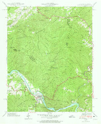
1940 Map of Hot Springs
USGS Topo · Published 1974About this map
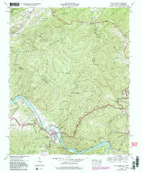
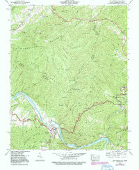
Hot Springs serves as the focal point of this 1940 survey, situated at a major bend in the French Broad River where the Southern railway and the Dixie Highway converge. The town's historical significance as a travel and health destination is evident in the surrounding landscape, from the Odd Fellows Cem to the local CCC Camp located south of the main settlement. The Appalachian Trail winds through the high ridges of the Bald Mountains, crossing Lovers Leap Ridge and passing near the Lookout Tower atop Rich Mountain. Small rural communities and topographic landmarks define the outskirts, including the settlement of Allenstand in the northeast and Stackhouse along the river to the south. Educational and religious life in the mountains is recorded through sites like Mountain View Sch and Fairview Ch, providing a detailed look at the social geography of Madison County before mid-century modernization.
Find a feature on this map
96 named features on this map. Tap any name to fly to it.
Don’t see what you’re looking for? This feature index may not catch every label — zoom into the map to look around manually.
Map Details
Editions of this 1940 Hot Springs Map
6 editions found
Other maps of this area

1892 · Greeneville
USGS Topo · 1:125,000

1894 · Asheville
USGS Topo · 1:125,000

1896 · Greeneville
USGS Topo · 1:125,000

1901 · Asheville
USGS Topo · 1:125,000

1904 · Greeneville
USGS Topo · 1:125,000

1935 · Paint Rock
USGS Topo · 1:24,000

1935 · Cedar Creek
USGS Topo · 1:24,000

1935 · Hot Springs
USGS Topo · 1:24,000

1935 · Spring Creek
USGS Topo · 1:24,000

1935 · Lemon Gap
USGS Topo · 1:24,000