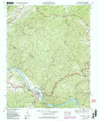
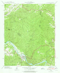
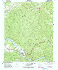
1940 Map of Hot Springs
USGS Topo · Published 1991About this map
The French Broad River carves a deep valley through the Bald Mountains on this 1940 survey, which was later updated with 1988 aerial data. The resort town of Hot Springs serves as the focal point, situated at a bend in the river where the Southern railroad line follows the water's edge. This transport corridor was essential for the area's development, connecting remote river settlements like Runion and Stackhouse.
Find a feature on this map
84 named features on this map. Tap any name to fly to it.
Don’t see what you’re looking for? This feature index may not catch every label — zoom into the map to look around manually.
Map Details
Editions of this 1940 Hot Springs Map
6 editions found
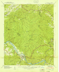
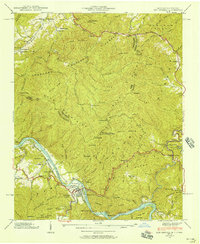
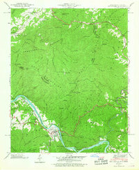
Other maps of this area

1892 · Greeneville
USGS Topo · 1:125,000

1894 · Asheville
USGS Topo · 1:125,000

1896 · Greeneville
USGS Topo · 1:125,000

1901 · Asheville
USGS Topo · 1:125,000

1904 · Greeneville
USGS Topo · 1:125,000

1935 · Paint Rock
USGS Topo · 1:24,000

1935 · Cedar Creek
USGS Topo · 1:24,000

1935 · Hot Springs
USGS Topo · 1:24,000

1935 · Spring Creek
USGS Topo · 1:24,000

1935 · Lemon Gap
USGS Topo · 1:24,000