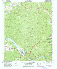
1940 Map of Hot Springs
USGS Topo · Published 1991About this map
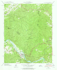
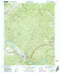
Hot Springs serves as the focal point of this mountainous region, situated along a sharp bend of the French Broad River. The landscape is dominated by the Bald Mountains and the Cherokee National Forest, with the state line between Tennessee and North Carolina traversing the high ridges of Ricker Mountain and Paint Mountain. Small, isolated settlements like Stackhouse and Runion are tucked into the narrow river valleys, while local life is anchored by several rural churches and family burial grounds, including the Odd Fellows Cem and Click Cem.
Find a feature on this map
72 named features on this map. Tap any name to fly to it.
Don’t see what you’re looking for? This feature index may not catch every label — zoom into the map to look around manually.
Map Details
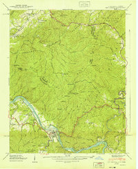
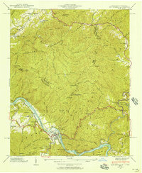
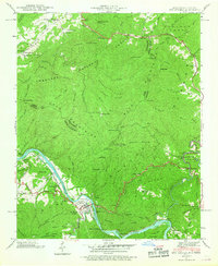
Editions of this 1940 Hot Springs Map
6 editions found
Other maps of this area

1892 · Greeneville
USGS Topo · 1:125,000

1894 · Asheville
USGS Topo · 1:125,000

1896 · Greeneville
USGS Topo · 1:125,000

1901 · Asheville
USGS Topo · 1:125,000

1904 · Greeneville
USGS Topo · 1:125,000

1935 · Paint Rock
USGS Topo · 1:24,000

1935 · Cedar Creek
USGS Topo · 1:24,000

1935 · Hot Springs
USGS Topo · 1:24,000

1935 · Spring Creek
USGS Topo · 1:24,000

1935 · Lemon Gap
USGS Topo · 1:24,000