Old Maps of Conoho, North Carolina for Hiking & Exploration
Hike through history with 12 historic maps of Conoho. Explore old trails, ghost towns, and forgotten backroads — perfect for outdoor adventurers and local explorers.
- Rediscover forgotten places: Map out old mining camps, roads, and footpaths that no longer exist on modern maps.
- Layer with modern tools: Combine with LiDAR or satellite views to plan hikes through historical terrain.
- Made for exploration: Popular among hikers, overlanders, and local history lovers.
Use these maps to find adventure and explore the hidden past of Conoho.
Conoho, NC maps
(12)- 1901 Map of Parmele, 1971 Print
 1901 Parmele1971 Print · USGSCoastal plain North Carolina at the turn of the century is defined here by the converging tracks at Parmele and the dense swampy lowlands. Genealogists can trace early homesteads and community hubs like Shiloh Mills, Dogtown, and the old Tram Road.
 - 1902 Map of Parmele, 1959 Print
 1902 Parmele1959 Print · USGSCoastal Plain North Carolina at the turn of the century shows a landscape defined by the arrival of the railroad. Genealogists and local historians can trace family roots in early settlements like Conetoe, Shiloh Mills, and the rail junction at Parmele.
 - 1953 Map of Rocky Mount, 1964 Print
 1953 Rocky Mount1964 Print · USGSEastern North Carolina in the mid-fifties is defined by its deep river basins and the vast wetlands of the Tidewater. Genealogists can trace family roots through hubs like Kinston and New Bern or explore the wilderness of Pettigrew State Park and Lake Mattamuskeet.4 unique versions available
 - 1954 Map of Rocky Mount
 1954 Rocky Mount1954 Print · USGSEastern North Carolina is mapped in the mid-fifties, showing a landscape of sounds, swamps, and steam-era rail lines. Genealogists can trace the rural road networks and rail spurs connecting towns like Tarboro, Greenville, and the remote Columbia.
 - 1981 Map of Oak City
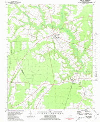 1981 Oak City1981 Print · USGSIn the early 1980s, this area of Martin County was defined by its railroad hamlets and extensive swamp drainage systems. Researchers can locate many rural landmarks including Merritts Chapel, the Lookout Tower, and cemeteries near Hassell and Oak City.
 - 1985 Map of Rocky Mount
 1985 Rocky Mount1985 Print · USGSThe eastern North Carolina coastal plain in the mid-eighties shows a landscape defined by its river-and-rail heritage. Genealogists and local historians can trace the development of Rocky Mount, Greenville, and Wilson, or locate landmarks like East Carolina University and the Voice of America site.2 unique versions available
 - 2002 Map of Oak City
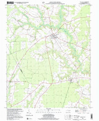 2002 Oak City2002 Print · USGSMartin County at the dawn of the millennium shows a landscape defined by traditional rail-side settlements and extensive wetlands. Researchers can locate family landmarks like St Paul Ch, Hatties Chapel, and the rural community of Fountain Fork.
 - 2010 Map of Oak City, 2010 Print
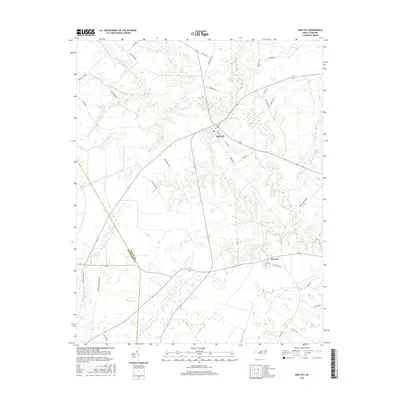
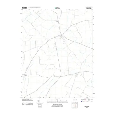 2010 Oak City2010 Print · USGSCovers Conoho, including Oak City, Hassell, and other nearby areas
 - 2013 Map of Oak City, 2013 Print
 2013 Oak City2013 Print · USGSCovers Conoho, including Oak City, Hassell, and other nearby areas
 - 2016 Map of Oak City, 2016 Print
 2016 Oak City2016 Print · USGSCovers Conoho, including Oak City, Hassell, and other nearby areas
 - 2019 Map of Oak City, 2019 Print
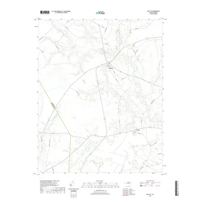 2019 Oak City2019 Print · USGSCovers Conoho, including Oak City, Hassell, and other nearby areas
 - 2022 Map of Oak City, 2022 Print
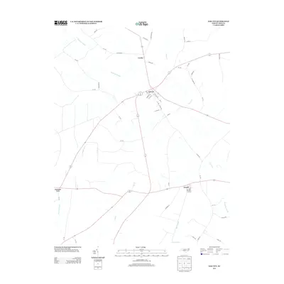
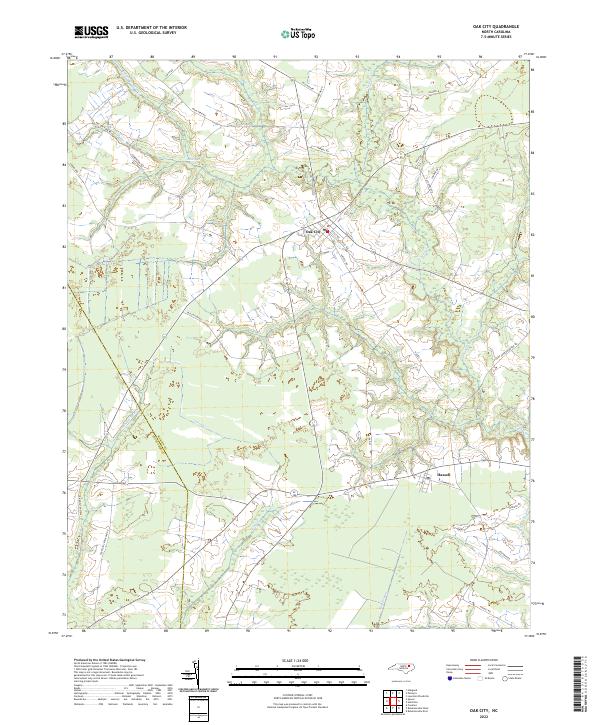 2022 Oak City2022 Print · USGSOak City and Hassell stand at the intersection of Martin and Edgecombe counties in the early 2020s. Researchers can trace family-named routes like Mayo Farm Rd and Peele Rd as they navigate the wetlands of Conoho Cr and Etheridge Swamp.
End of results
Showing maps 1-12 of 12
Top cities near Conoho
- Tarboro historical maps
- Williamston historical maps
- Scotland Neck historical maps
- Bethel historical maps
- Princeville historical maps
- Robersonville historical maps
See more
Frequently asked questions
- What are the different types of historical maps available for Conoho?
- What is the oldest map of Conoho?
- Where can I purchase historical maps of Conoho for my home or office?
- Where can I download high-res historical maps of Conoho?
- Are there historical topographic maps available for Conoho?
- Is there historical aerial imagery available for Conoho?
- Where are historical maps of Conoho sourced from?