Old Maps of Hamilton, North Carolina for Hiking & Exploration
Hike through history with 12 historic maps of Hamilton. Explore old trails, ghost towns, and forgotten backroads — perfect for outdoor adventurers and local explorers.
- Rediscover forgotten places: Map out old mining camps, roads, and footpaths that no longer exist on modern maps.
- Layer with modern tools: Combine with LiDAR or satellite views to plan hikes through historical terrain.
- Made for exploration: Popular among hikers, overlanders, and local history lovers.
Use these maps to find adventure and explore the hidden past of Hamilton.
Hamilton, NC maps
(12)- 1901 Map of Williamston, 1972 Print
 1901 Williamston1972 Print · USGSThe Roanoke River basin at the turn of the century shows a thriving network of steamboat landings and new rail lines. Genealogists and researchers can trace the river economy through Spellers Ferry Landing, Grabtown, and the Atlantic Coast Line R. R.
 - 1902 Map of Williamston, 1944 Print
 1902 Williamston1944 Print · USGSMartin County’s riverfront and rail corridors are frozen in time here at the dawn of the twentieth century. Genealogists and local historians can trace family roots through landings like Spellers Ferry Landing or settlements at Everetts and Goldpoint.
 - 1953 Map of Rocky Mount, 1964 Print
 1953 Rocky Mount1964 Print · USGSEastern North Carolina in the mid-fifties is defined by its deep river basins and the vast wetlands of the Tidewater. Genealogists can trace family roots through hubs like Kinston and New Bern or explore the wilderness of Pettigrew State Park and Lake Mattamuskeet.4 unique versions available
 - 1954 Map of Rocky Mount
 1954 Rocky Mount1954 Print · USGSEastern North Carolina is mapped in the mid-fifties, showing a landscape of sounds, swamps, and steam-era rail lines. Genealogists can trace the rural road networks and rail spurs connecting towns like Tarboro, Greenville, and the remote Columbia.
 - 1981 Map of Hamilton
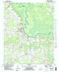 1981 Hamilton1981 Print · USGSThe Roanoke River basin in eastern North Carolina was home to tight-knit rural communities in the early 1980s. Genealogists and historians can locate numerous country landmarks like Spring Green Ch, the Edna Andrews Sch, and the small settlement of Huskanaw.2 unique versions available
 - 1985 Map of Rocky Mount
 1985 Rocky Mount1985 Print · USGSThe eastern North Carolina coastal plain in the mid-eighties shows a landscape defined by its river-and-rail heritage. Genealogists and local historians can trace the development of Rocky Mount, Greenville, and Wilson, or locate landmarks like East Carolina University and the Voice of America site.2 unique versions available
 - 2002 Map of Hamilton
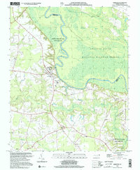 2002 Hamilton2002 Print · USGSThe Roanoke River bottomlands in Martin County are shown here at the turn of the millennium, revealing a landscape defined by riverside conservation and rural crossroads. Genealogists and historians can trace family ties at Lynch Chapel, Edna Andrews Sch, and the quiet settlements of Hamilton and Spring Green.
 - 2010 Map of Hamilton, 2010 Print
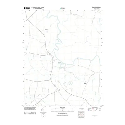 2010 Hamilton2010 Print · USGSCoastal North Carolina at the turn of the decade is defined here by the river-bend settlement of Hamilton and the surrounding Martin County wetlands. Genealogists and researchers can trace local family landmarks and waterways from Cocks Landing to the Huskanaw Swamp and Rainbow Pond.
 - 2013 Map of Hamilton, 2013 Print
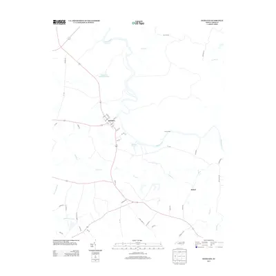 2013 Hamilton2013 Print · USGSHamilton and the Roanoke River are the focus of this recent survey of eastern North Carolina. Researchers can trace the grid of Hamilton or locate landmarks like Cocks Landing and the settlement of Ballard among the tributary waters of Conoho Cr.
 - 2016 Map of Hamilton, 2016 Print
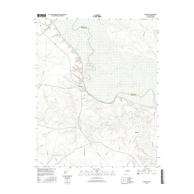 2016 Hamilton2016 Print · USGSThe Roanoke River winds through Martin County in the mid-2010s, shaping the life and geography of this North Carolina river town. Genealogists and local historians can trace the streets of Hamilton, follow Conoho Cr into the wetlands, or locate the rural settlement of Ballard.
 - 2019 Map of Hamilton, 2019 Print
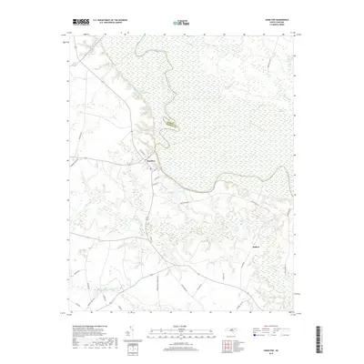 2019 Hamilton2019 Print · USGSMartin County's riverfront heritage is on display in this contemporary survey of the Inner Banks region. Genealogists and local historians can trace the streets of Hamilton, follow the winding Roanoke River, and locate rural landmarks like Ballard and Huskaw Swamp.
 - 2022 Map of Hamilton, 2022 Print
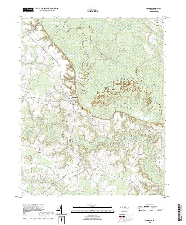 2022 Hamilton2022 Print · USGSThe Roanoke River floodplain in Martin County is the centerpiece of this modern survey. Genealogists and researchers can trace the area around Hamilton and Ballard, exploring the relationship between local roads and the expansive Broadneck Swamp.
End of results
Showing maps 1-12 of 12
Top cities near Hamilton
- Williamston historical maps
- Scotland Neck historical maps
- Bethel historical maps
- Robersonville historical maps
- Lewiston Woodville historical maps
- Hobgood historical maps
See more
Frequently asked questions
- What are the different types of historical maps available for Hamilton?
- What is the oldest map of Hamilton?
- Where can I purchase historical maps of Hamilton for my home or office?
- Where can I download high-res historical maps of Hamilton?
- Are there historical topographic maps available for Hamilton?
- Is there historical aerial imagery available for Hamilton?
- Where are historical maps of Hamilton sourced from?