2020s Maps of Jamesville, North Carolina
Explore 2 historic maps of Jamesville from the 2020s. These maps offer a rare glimpse into what life looked like during the 2020s — showing old roads, neighborhoods, homes, and landmarks that have changed or disappeared over time.
Whether you're researching your family's past, planning a metal detecting trip, or studying how Jamesville's landscape evolved across the 2020s, these high-resolution maps are a powerful tool for exploring the history of this region.
- Focus on a specific era: All maps on this page are from the 2020s, giving you a focused view of this time period.
- See what’s changed: Compare century-old streets, trails, and buildings to today's modern landscape using overlays and satellite layers.
- Research with precision: Use these maps for genealogy, historical research, land use analysis, or educational projects.
- View, download, or print: Maps are fully viewable online in high resolution, and can be downloaded or printed for your own records.
Start exploring Jamesville's history through authentic maps from the 2020s. This is your window into the past.
Jamesville, NC maps
(2)- 2021 Map of Jamesville, 2021 Print
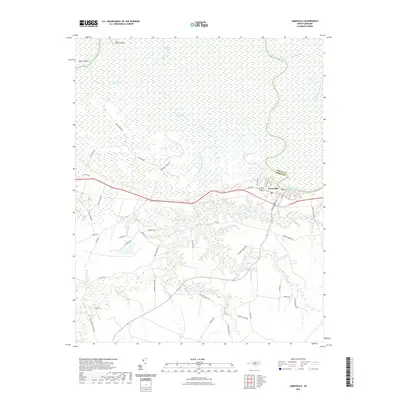 2021 Jamesville2021 Print · USGSCovers Jamesville, including Martin County, Bertie County, and other nearby areas
 - 2022 Map of Jamesville, 2022 Print
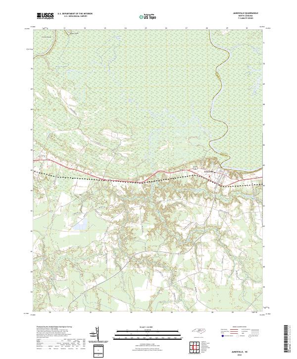 2022 Jamesville2022 Print · USGSIn the 2020s, the riverfront town of Jamesville remains defined by its position along the Roanoke River and the vast surrounding swamplands. Researchers can trace rural lineages through numerous family-named routes such as Arthur Modlin Road and Seymour Price Road or explore the intricate waterways of Devils Gut.
End of results
Showing maps 1-2 of 2
Top cities near Jamesville
- Washington historical maps
- Williamston historical maps
- Edenton historical maps
- Plymouth historical maps
- Windsor historical maps
- Pinetown historical maps
See more
Frequently asked questions
- What are the different types of historical maps available for Jamesville?
- What is the oldest map of Jamesville?
- Where can I purchase historical maps of Jamesville for my home or office?
- Where can I download high-res historical maps of Jamesville?
- Are there historical topographic maps available for Jamesville?
- Is there historical aerial imagery available for Jamesville?
- Where are historical maps of Jamesville sourced from?