Old Maps of Old Fort, North Carolina for Genealogy
Trace your family roots with 22 historic maps of Old Fort. These high-res maps reveal old neighborhoods, homesites, landmarks, and streets — helping you uncover where your ancestors lived and how the area evolved over time.
- Explore historic neighborhoods: Identify where your relatives may have lived in the 1800s or 1900s.
- Compare maps over time: Trace the changes in streets, buildings, and landmarks for multi-generational research.
- Perfect for genealogy & ancestry research: Used by family historians and researchers to map out lineage and migration.
These maps are an incredible resource for exploring your personal connection to Old Fort's past.
Old Fort, NC maps
(22)- 1900 Map of Mount Mitchell, 1963 Print
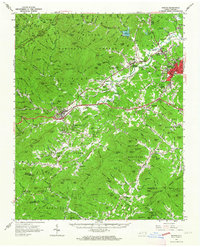
 1900 Mount Mitchell1963 Print · USGSWestern North Carolina at the turn of the century shows a landscape of high peaks and isolated river settlements before the arrival of modern highways. Genealogists and mountain historians can trace early homesteads along the Cane River or follow the Southern RR through Old Fort and Black Mountain.3 unique versions available
 - 1902 Map of Mount Mitchell, 1937 Print
 1902 Mount Mitchell1937 Print · USGSThe high peaks of Western North Carolina are captured here at the start of the twentieth century, showing the rail and river corridors that shaped the region. Trace early settlements like Burnsville, Montreat, and the winding Southern Railway.3 unique versions available
 - 1934 Map of Parts Of Old Fort and Montreat
 1934 Parts Of Old Fort and Montreat1934 Print · USGSThe Black Mountains reached a turning point in the mid-1930s as state and national parklands began to formalize. You can trace the early Blue Ridge Parkway, find the remote Loftis Cabin, and locate the Green Knob Fire Tower.
 - 1955 Map of Knoxville
 1955 Knoxville1955 Print · USGSThe Southern Appalachians and the Smoky Mountains are shown here at a peak of mid-century development and conservation. Genealogists and historians can trace the early road networks connecting Gatlinburg, Waynesville, and the Cherokee Indian Reservation across the high ridges.
 - 1957 Map of Knoxville, 1966 Print
 1957 Knoxville1966 Print · USGSThe Southern Appalachians of Tennessee and North Carolina are mapped here during the mid-twentieth century as new highways reached the high country. Genealogists and historians can trace the topography between Knoxville and Asheville, locating family landmarks near Fontana Lake or along the Blue Ridge Parkway.4 unique versions available
 - 1960 Map of Knoxville
 1960 Knoxville1960 Print · USGSThe Southern Appalachians come alive in the 1950s, showing the intersection of new national park tourism and deep-rooted mountain industry. Trace old rail lines like the Clinchfield RR and find high-altitude landmarks from Mt Le Conte to the Cherokee Indian Reservation.2 unique versions available
 - 1962 Map of Marion, 1964 Print
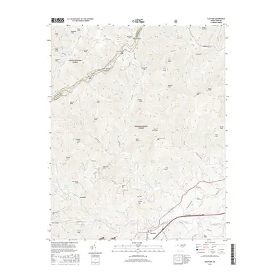
 1962 Marion1964 Print · USGSMcDowell County life in the early sixties centers on the rail junction at Marion and the rising peaks of the Blue Ridge. Genealogists and historians can trace community roots through Carson Chapel, Zion Hill Cem, and the old Pleasant Gardens School.2 unique versions available
 - 1964 Map of Knoxville
 1964 Knoxville1964 Print · USGSThe Southern Appalachians and Great Smokies are captured here during the mid-sixties, showing the rugged borderlands of Tennessee and North Carolina. Researchers can trace historic mountain routes like U S 441, the expanse of Pisgah National Forest, and the growing footprints of Asheville and Knoxville.
 - 1982 Map of Moffitt Hill, 1983 Print
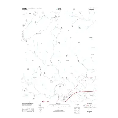
 1982 Moffitt Hill1983 Print · USGSThe McDowell and Buncombe county lines meet among the steep ridges of the Pisgah National Forest in the early 1980s. Genealogists can trace family names and rural landmarks from Old Fort down to Bethlehem Ch and the remote Pine Cove Cem.2 unique versions available
 - 1985 Map of Asheville
 1985 Asheville1985 Print · USGSWestern North Carolina during the mid-eighties shows a region of deep mountain heritage and expanding highway networks. Genealogists and historians can trace the foundations of Asheville alongside older rail corridors like the Clinchfield Railroad and the high elevations of Mount Mitchell.2 unique versions available
 - 1994 Map of Old Fort, 1998 Print
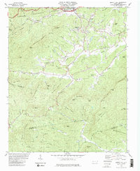
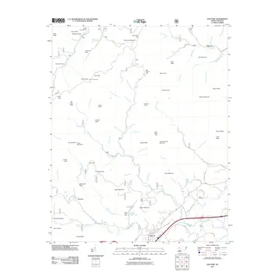
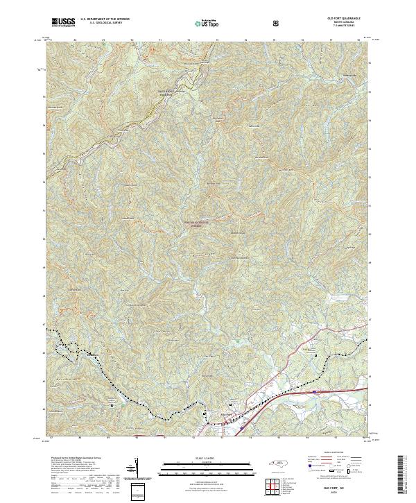
 1994 Old Fort1998 Print · USGSWestern North Carolina's high-country transition is captured in the mid-1990s as the Blue Ridge meets the Catawba River valley. Genealogists and hikers can trace family landmarks and backcountry trails through Old Fort, Siloam Cemeteries, and Piney Grove Church.
 - 1994 Map of Moffitt Hill, 1998 Print
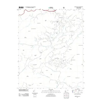
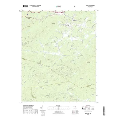
 1994 Moffitt Hill1998 Print · USGSThe Blue Ridge foothills of McDowell County are shown in the mid-nineties as a network of mountain communities and forest lands. Genealogists and hikers can trace old family sites and mountain routes near Old Fort, Lackey Town, and Catawba Falls.
 - 2011 Map of Old Fort, 2011 Print
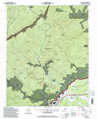
 2011 Old Fort2011 Print · USGSCovers Old Fort, including Dendron, Sunnyvale, and other nearby areas
 - 2011 Map of Moffitt Hill, 2011 Print
 2011 Moffitt Hill2011 Print · USGSCovers Old Fort, including Davistown, Moffitt Hill, and other nearby areas
 - 2013 Map of Moffitt Hill, 2013 Print
 2013 Moffitt Hill2013 Print · USGSCovers Old Fort, including Davistown, Moffitt Hill, and other nearby areas
 - 2013 Map of Old Fort, 2013 Print
 2013 Old Fort2013 Print · USGSCovers Old Fort, including Dendron, Sunnyvale, and other nearby areas
 - 2016 Map of Old Fort, 2016 Print
 2016 Old Fort2016 Print · USGSCovers Old Fort, including Dendron, Sunnyvale, and other nearby areas
 - 2016 Map of Moffitt Hill, 2016 Print
 2016 Moffitt Hill2016 Print · USGSCovers Old Fort, including Davistown, Moffitt Hill, and other nearby areas
 - 2019 Map of Old Fort, 2019 Print
 2019 Old Fort2019 Print · USGSCovers Old Fort, including Dendron, Sunnyvale, and other nearby areas
 - 2019 Map of Moffitt Hill, 2019 Print
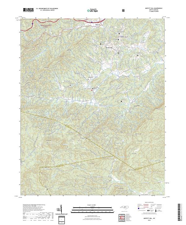
 2019 Moffitt Hill2019 Print · USGSCovers Old Fort, including Davistown, Moffitt Hill, and other nearby areas
 - 2022 Map of Moffitt Hill, 2022 Print
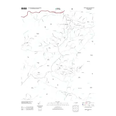
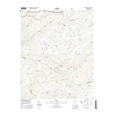
 2022 Moffitt Hill2022 Print · USGSThe McDowell County highlands come into focus in the early 2020s, showing a landscape of scattered mountain settlements and historic churchyards. Genealogists can trace family names through the Davistown Cemetery or locate old community hubs like Lackey Town and Moffitt Hill.
 - 2022 Map of Old Fort, 2022 Print
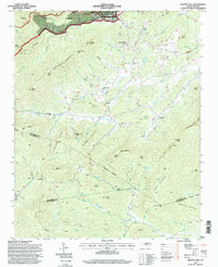
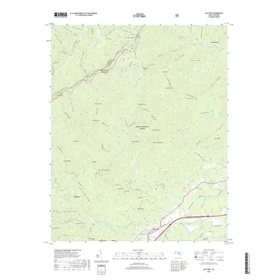
 2022 Old Fort2022 Print · USGSThe mountain gateway of Old Fort and the Pisgah National Forest are shown here in the 2020s. Researchers can locate Ebenezer United Methodist Church Cem, Sunnyvale, and the Mountains to Sea Trail.
End of results
Showing maps 1-22 of 22
Top cities near Old Fort
- Black Mountain historical maps
- Marion historical maps
- Swannanoa historical maps
- Lake Lure historical maps
- Montreat historical maps
- Chimney Rock historical maps
Frequently asked questions
- What are the different types of historical maps available for Old Fort?
- What is the oldest map of Old Fort?
- Where can I purchase historical maps of Old Fort for my home or office?
- Where can I download high-res historical maps of Old Fort?
- Are there historical topographic maps available for Old Fort?
- Is there historical aerial imagery available for Old Fort?
- Where are historical maps of Old Fort sourced from?