2020s Maps of Montgomery County, North Carolina
Explore 18 historic maps of Montgomery County from the 2020s. These maps offer a rare glimpse into what life looked like during the 2020s — showing old roads, neighborhoods, homes, and landmarks that have changed or disappeared over time.
Whether you're researching your family's past, planning a metal detecting trip, or studying how Montgomery County's landscape evolved across the 2020s, these high-resolution maps are a powerful tool for exploring the history of this region.
- Focus on a specific era: All maps on this page are from the 2020s, giving you a focused view of this time period.
- See what’s changed: Compare century-old streets, trails, and buildings to today's modern landscape using overlays and satellite layers.
- Research with precision: Use these maps for genealogy, historical research, land use analysis, or educational projects.
- View, download, or print: Maps are fully viewable online in high resolution, and can be downloaded or printed for your own records.
Start exploring Montgomery County's history through authentic maps from the 2020s. This is your window into the past.
Montgomery County, NC maps
(18)- 2022 Map of Spies, 2022 Print
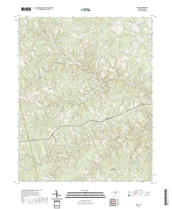 2022 Spies2022 Print · USGSMoore County's rural character is preserved in this recent survey of the region's rolling creek valleys and family-named roads. Trace local history through the Shamburger Cem and the small communities of Dover, Spies, and West Philadelphia.
 - 2022 Map of Biscoe, 2022 Print
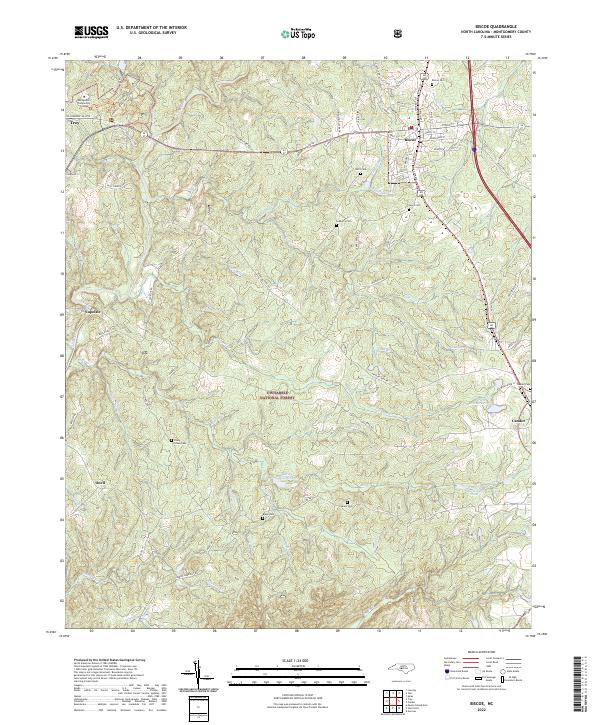 2022 Biscoe2022 Print · USGSMontgomery County’s timber and rail corridor comes to life in this contemporary survey of the North Carolina interior. Genealogists can trace family landmarks like Piney Grove Cem and Sedberry Cem or follow the Norfolk Southern line through Biscoe.
 - 2022 Map of West End, 2022 Print
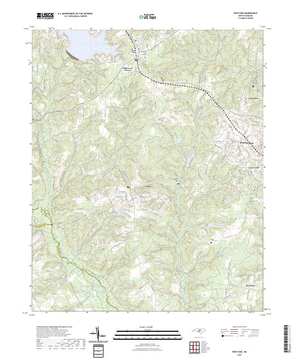 2022 West End2022 Print · USGSThe Moore County Sandhills are captured here in the early twenty-first century, showing the growth of West End and Pinehurst. Trace local family history at Jackson Springs Cem or follow the waters of Drowning Creek.
 - 2022 Map of Star, 2022 Print
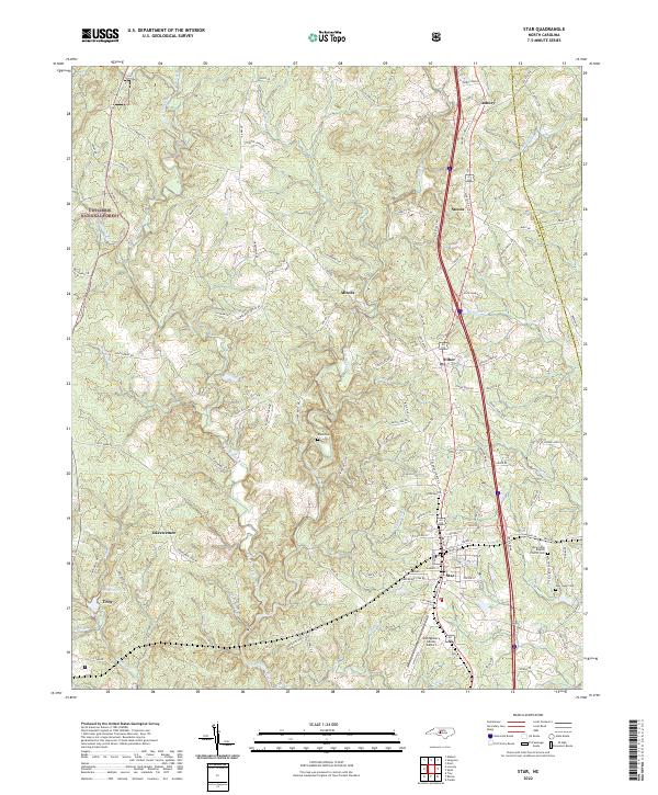 2022 Star2022 Print · USGSThe rural communities of central North Carolina thrive here in the 2020s, centered around the railroad and airfield. Genealogists and historians can trace family locations near the New Hope Baptist Church Cem, Allen Cem, and the settlement of Okeewemee.
 - 2022 Map of Norman, 2022 Print
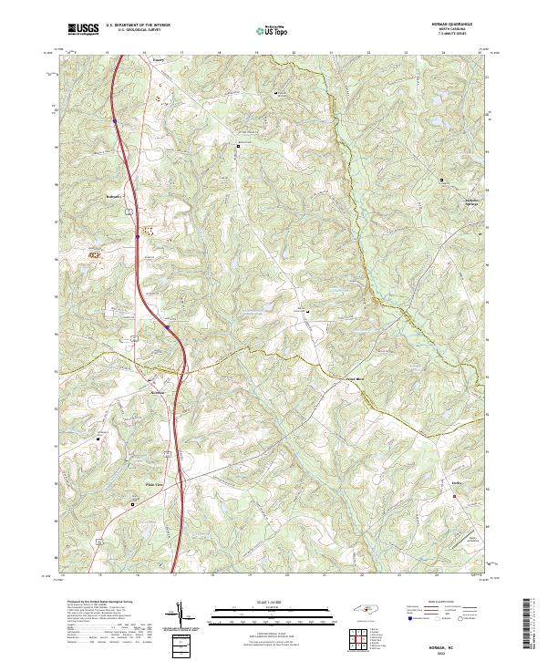 2022 Norman2022 Print · USGSThe crossroads of Richmond, Montgomery, and Moore counties are captured here in the early 2020s. Researchers can trace ancestral sites at Providence Cem or Gum Springs Cem and locate landmarks like the Derby Aerodome and Norman.
 - 2022 Map of Mount Gilead East, 2022 Print
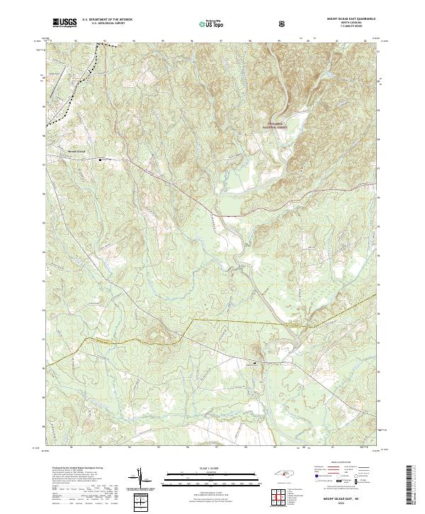 2022 Mount Gilead East2022 Print · USGSThe eastern outskirts of Mount Gilead and the Uwharrie hills come into focus in this recent survey. Local researchers can trace family landmarks and rural routes such as Sharon Cem, Jordan Field, and the various branches of the Little River.
 - 2022 Map of Candor, 2022 Print
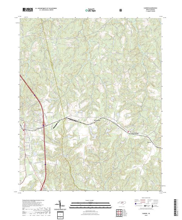 2022 Candor2022 Print · USGSThe Moore and Montgomery county line comes alive in this study of the Sandhills region, showing Candor and Eagle Springs as they appeared recently. Researchers can trace family-named sites like McCauley Pond or locate Center Baptist Church.
 - 2022 Map of Troy, 2022 Print
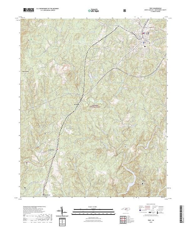 2022 Troy2022 Print · USGSTroy and the southern Piedmont landscape come to life in this modern survey of central Montgomery County. Genealogists can trace family landmarks like Ropers Grove Cem and Chisolm Cem or locate rural communities such as Roberdo and Wadeville.
 - 2022 Map of Harrisville, 2022 Print
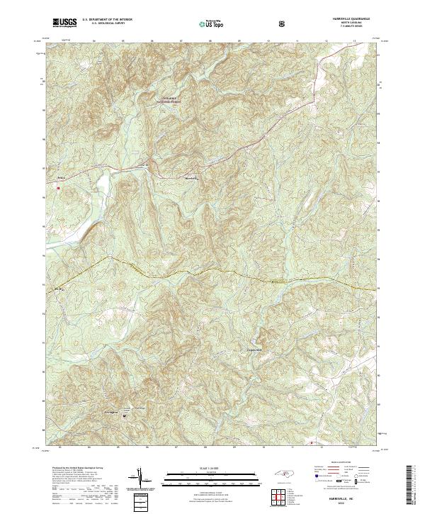 2022 Harrisville2022 Print · USGSNorth Carolina's southern piedmont is captured here in the early twenty-first century, showing the rural communities along the Montgomery and Richmond county line. Researchers can trace family history at the Parsons Howell Cem or locate old sites like Capels Mill and Pekin.
 - 2022 Map of Eleazer, 2022 Print
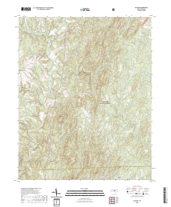 2022 Eleazer2022 Print · USGSThe Piedmont Upland of central North Carolina is shown here in the 2020s, dominated by the timberlands of the Uwharrie National Forest. Researchers can trace old family roadbeds like Lassiter Mill RD and locate rural landmarks like Eleazer.
 - 2022 Map of Lovejoy, 2022 Print
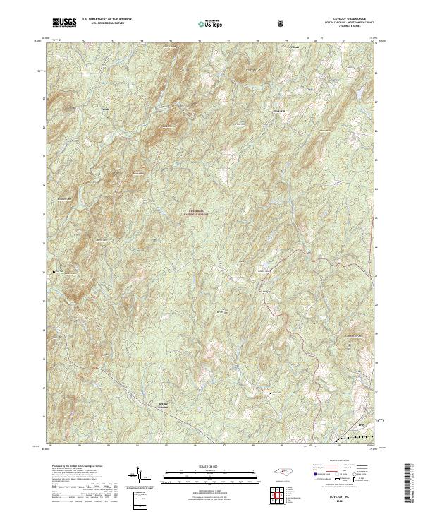 2022 Lovejoy2022 Print · USGSThe Uwharrie Mountains of Montgomery County appear in recent years as a landscape of forest preservation and rural clusters. Genealogists can trace family landmarks like Love Joy Cem, Shiloh Cem, and the Refuge Mission near Troy.
 - 2022 Map of Seagrove, 2022 Print
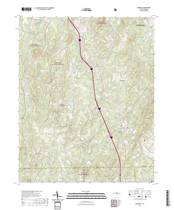 2022 Seagrove2022 Print · USGSThe pottery-rich corridor of Randolph County comes alive in this contemporary survey of Seagrove and the eastern Uwharrie National Forest. Researchers can trace old family routes and rural landmarks like the Whynot Cem, Aumans Crossroads, and Needhams Mtn.
 - 2022 Map of Handy, 2022 Print
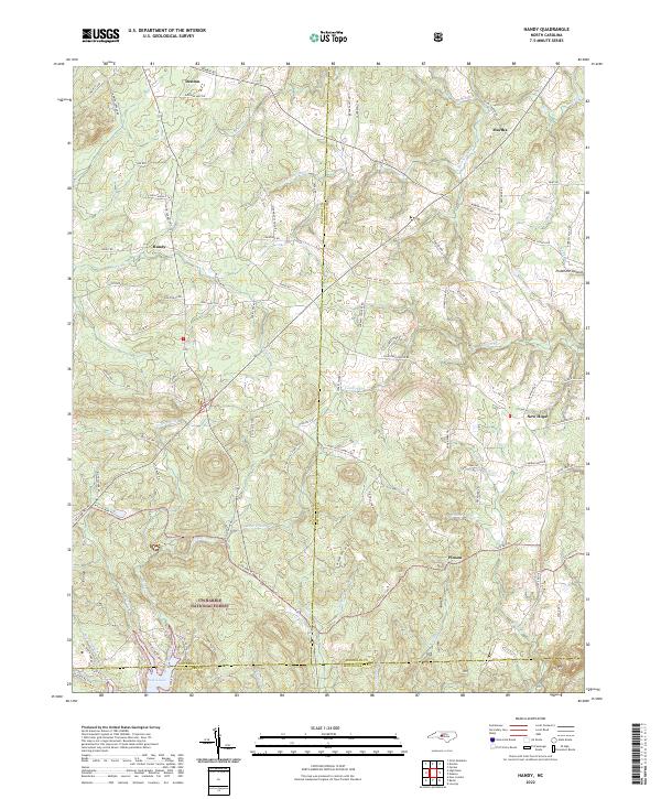 2022 Handy2022 Print · USGSIn the central North Carolina Piedmont during the early 2020s, the landscape is defined by the dense timber of the Uwharrie National Forest. Genealogists and hikers can trace the rural communities of Handy and New Hope or follow the waters of Badin Lake.
 - 2022 Map of Badin, 2022 Print
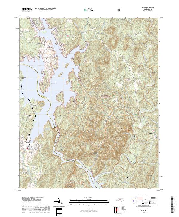 2022 Badin2022 Print · USGSThe border of Stanly and Montgomery counties comes alive in this 2022 survey of the North Carolina backcountry. Genealogists and historians can trace family plots at Lanes Chapel Cem and Macedonia Cem or explore the industrial legacy of the Coggins Mine near Eldorado.
 - 2022 Map of Morrow Mountain, 2022 Print
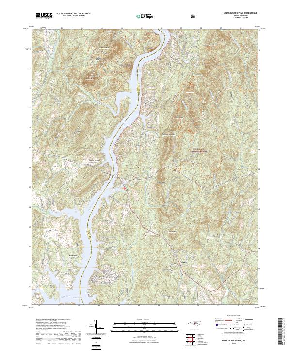 2022 Morrow Mountain2022 Print · USGSThe central Uwharrie Mountains meet the Pee Dee River in the early 2020s, showing a mix of protected forest and riverside growth. Trace family names and local landmarks from Morrow Mountain to settlements at Norwood and Pee Dee.
 - 2022 Map of High Rock, 2022 Print
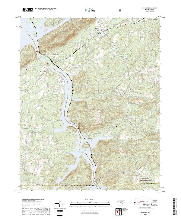 2022 High Rock2022 Print · USGSDavidson County's riverfront landscape is captured here in the early 2020s, showcasing the intersection of the Yadkin River and rural crossroads. Genealogists can trace family landmarks and local heritage near Newsom Cem, Healing Springs, and Jackson Hill.
 - 2022 Map of New London, 2022 Print
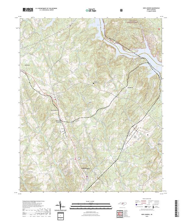 2022 New London2022 Print · USGSStanly County at the edge of the Uwharrie hills shows a landscape shaped by water and rail in this recent survey. Researchers can trace the Winston-Salem Southbound tracks through New London and Richfield or locate local landmarks like the Bethel (United Methodist Church) Cem.
 - 2022 Map of Mount Gilead West, 2022 Print
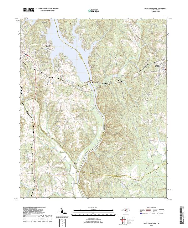 2022 Mount Gilead West2022 Print · USGSThe river borders of the North Carolina Piedmont come to life in this survey of the Stanly and Montgomery county lines. Genealogists and local historians can trace the rail corridor of the Winston-Salem Southbound RR or locate family sites near Fork Section and Norwood Cem.
End of results
Showing maps 1-18 of 18
Top cities of Montgomery County
- Troy historical maps
- Biscoe historical maps
- Mount Gilead historical maps
- Candor historical maps
- Star historical maps
Frequently asked questions
- What are the different types of historical maps available for Montgomery County?
- What is the oldest map of Montgomery County?
- Where can I purchase historical maps of Montgomery County for my home or office?
- Where can I download high-res historical maps of Montgomery County?
- Are there historical topographic maps available for Montgomery County?
- Is there historical aerial imagery available for Montgomery County?
- Where are historical maps of Montgomery County sourced from?