2000s (21st Century) Maps of Narrow Ridge, North Carolina
Explore 6 historic maps of Narrow Ridge from the 2000s (21st Century). These maps offer a rare glimpse into what life looked like during the 2000s — showing old roads, neighborhoods, homes, and landmarks that have changed or disappeared over time.
Whether you're researching your family's past, planning a metal detecting trip, or studying how Narrow Ridge's landscape evolved across the 2000s, these high-resolution maps are a powerful tool for exploring the history of this region.
- Focus on a specific era: All maps on this page are from the 2000s, giving you a focused view of this time period.
- See what’s changed: Compare century-old streets, trails, and buildings to today's modern landscape using overlays and satellite layers.
- Research with precision: Use these maps for genealogy, historical research, land use analysis, or educational projects.
- View, download, or print: Maps are fully viewable online in high resolution, and can be downloaded or printed for your own records.
Start exploring Narrow Ridge's history through authentic maps from the 2000s. This is your window into the past.
Narrow Ridge, NC maps
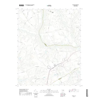
(6)- 2002 Map of Hoffman
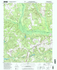 2002 Hoffman2002 Print · USGSHoffman and the surrounding pine forests are captured here at the start of the millennium, showing a landscape defined by military training and wildlife conservation. Researchers can locate Watson Cem, rural churches like McNir Chapel, and the vast Camp Mackall Military Reservation.
 - 2010 Map of Hoffman, 2010 Print
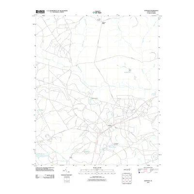 2010 Hoffman2010 Print · USGSCovers Narrow Ridge, including Hoffman, Moore County, and other nearby areas
 - 2013 Map of Hoffman, 2013 Print
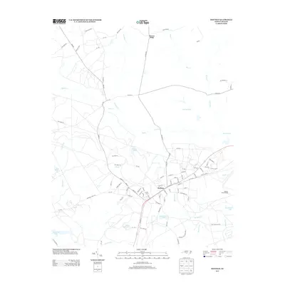 2013 Hoffman2013 Print · USGSCovers Narrow Ridge, including Hoffman, Moore County, and other nearby areas
 - 2016 Map of Hoffman, 2016 Print
 2016 Hoffman2016 Print · USGSCovers Narrow Ridge, including Hoffman, Moore County, and other nearby areas
 - 2019 Map of Hoffman, 2019 Print
 2019 Hoffman2019 Print · USGSCovers Narrow Ridge, including Hoffman, Moore County, and other nearby areas
 - 2022 Map of Hoffman, 2022 Print
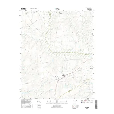
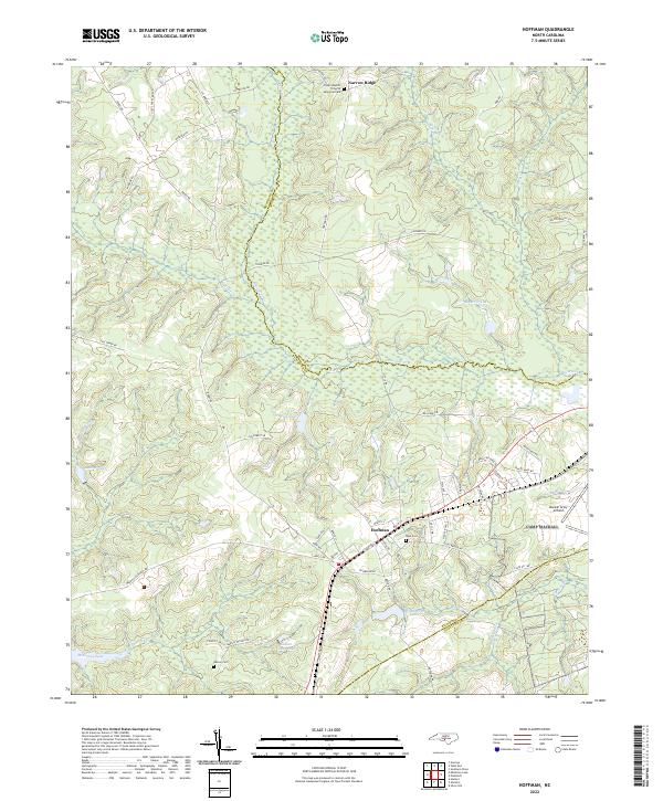 2022 Hoffman2022 Print · USGSIn the Sandhills of the early twenty-first century, the area around Hoffman remains a landscape of military aviation and quiet rural communities. Researchers can trace local lineage at Watson Cem or explore the hydrography of McKinney Lake and Drowning Cr.
End of results
Showing maps 1-6 of 6
Top cities near Narrow Ridge
- Pinehurst historical maps
- Southern Pines historical maps
- Rockingham historical maps
- Hamlet historical maps
- Aberdeen historical maps
- Seven Lakes historical maps
See more
Frequently asked questions
- What are the different types of historical maps available for Narrow Ridge?
- What is the oldest map of Narrow Ridge?
- Where can I purchase historical maps of Narrow Ridge for my home or office?
- Where can I download high-res historical maps of Narrow Ridge?
- Are there historical topographic maps available for Narrow Ridge?
- Is there historical aerial imagery available for Narrow Ridge?
- Where are historical maps of Narrow Ridge sourced from?