2020s Maps of Northampton County, North Carolina
Explore 24 historic maps of Northampton County from the 2020s. These maps offer a rare glimpse into what life looked like during the 2020s — showing old roads, neighborhoods, homes, and landmarks that have changed or disappeared over time.
Whether you're researching your family's past, planning a metal detecting trip, or studying how Northampton County's landscape evolved across the 2020s, these high-resolution maps are a powerful tool for exploring the history of this region.
- Focus on a specific era: All maps on this page are from the 2020s, giving you a focused view of this time period.
- See what’s changed: Compare century-old streets, trails, and buildings to today's modern landscape using overlays and satellite layers.
- Research with precision: Use these maps for genealogy, historical research, land use analysis, or educational projects.
- View, download, or print: Maps are fully viewable online in high resolution, and can be downloaded or printed for your own records.
Start exploring Northampton County's history through authentic maps from the 2020s. This is your window into the past.
Northampton County, NC maps
(24)- 2021 Map of Norfleet, 2021 Print
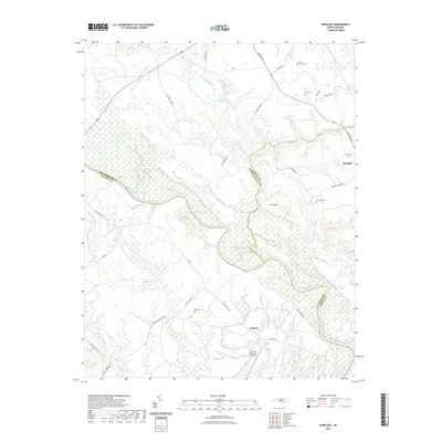 2021 Norfleet2021 Print · USGSThe Roanoke River basin in the early 2020s reveals a landscape of deep wetlands and historic family tracts. Genealogists can trace rural landmarks from Roxobel to Ventosa Plantation Airport, including the Hall Cem and Rea Cemeteries.
 - 2021 Map of Kelford, 2021 Print
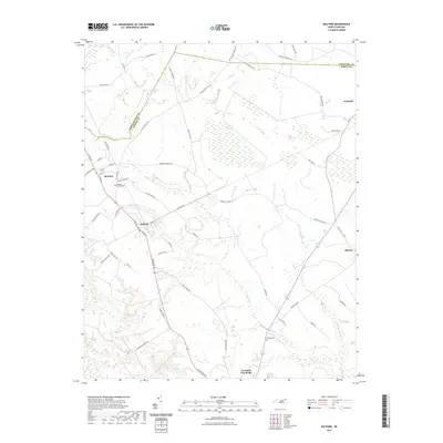 2021 Kelford2021 Print · USGSThe crossroads of Bertie and Northampton counties are captured here in the early twenty-first century, showing a landscape of traditional settlements and intricate wetlands. Researchers can trace family-named sites and rural landmarks like Roxobel-Kelford Cem, Wahtom Pocosin, and the upper Cashie River.
 - 2022 Map of Jackson, 2022 Print
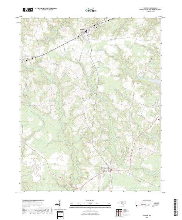 2022 Jackson2022 Print · USGSCoastal plain settlements and extensive wetlands define the Northampton County landscape in the early twenty-first century. Researchers can locate the Northampton County Courthouse in Jackson and trace the rural surroundings of Seaboard and Gumberry.
 - 2022 Map of Galatia, 2022 Print
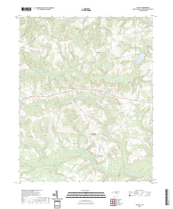 2022 Galatia2022 Print · USGSNorthampton County's agricultural heartland is documented here in the early 2020s, showing the enduring character of its rural crossroads. Researchers can trace local heritage through sites like Galatia, Creeksville, and historic mill routes including Deberrys Mill Rd.
 - 2022 Map of Halifax, 2022 Print
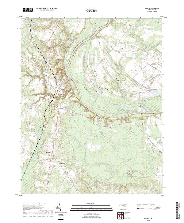 2022 Halifax2022 Print · USGSHalifax, North Carolina, and the surrounding river bottomlands are captured here in the early 2020s, showcasing the traditional county seat and the agricultural heart of the Roanoke valley. Researchers can pinpoint the Halifax County Courthouse or trace property lines near Pender and the unique loop of Occoneechee Neck.
 - 2022 Map of Rich Square, 2022 Print
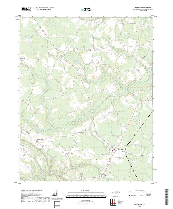 2022 Rich Square2022 Print · USGSNorthampton County at the start of the 2020s reveals a landscape where crossroads communities and small towns are inextricably tied to the surrounding wetlands. Researchers can trace local lineage through family-named routes and visit established centers like Rich Square, Lasker, and Woodland.
 - 2022 Map of Roanoke Rapids, 2022 Print
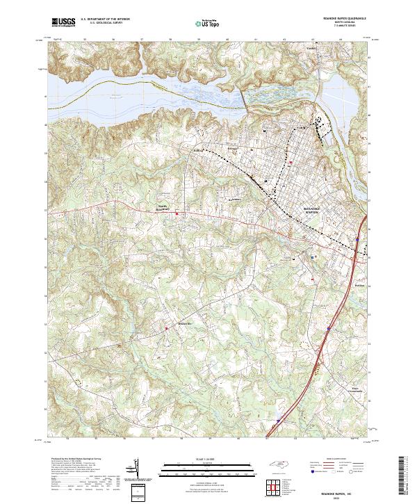 2022 Roanoke Rapids2022 Print · USGSRoanoke Rapids and its surrounding textile-mill neighborhoods are shown during the early twenty-first century. Genealogists can trace family plots at Cedarwood Cem or locate old community hubs in Rheasville and South Rosemary.
 - 2022 Map of Scotland Neck, 2022 Print
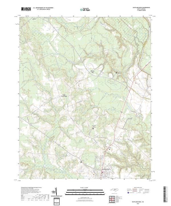 2022 Scotland Neck2022 Print · USGSScotland Neck and the Roanoke River valley are shown here in the early twenty-first century as a landscape of rural crossroads and river-bottom swamps. Researchers can locate numerous burial sites like Shield Cem or trace the old routes connecting Tillery and Spring Hill.
 - 2022 Map of Murfreesboro, 2022 Print
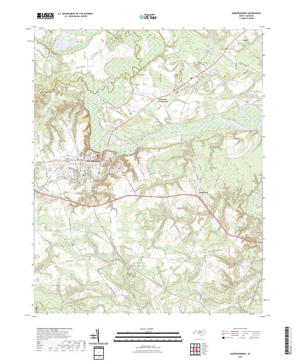 2022 Murfreesboro2022 Print · USGSThe northern coastal plain of North Carolina comes into focus here during the early twenty-first century. Genealogists and local historians can trace the town layouts of Murfreesboro and Como, locate the historic Riverside Cem, and follow the winding course of the Meherrin River.
 - 2022 Map of Woodland, 2022 Print
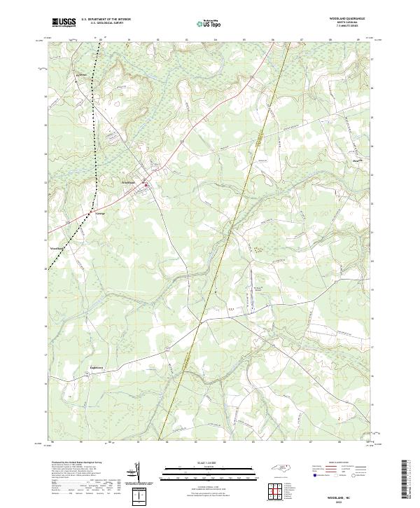 2022 Woodland2022 Print · USGSWoodland and the surrounding coastal plain of Northampton County are captured here in the early 2020s. Genealogists can trace family landmarks along Baughan Rd and Jim Hardy Rd, or locate ancestral sites near Potecasi and Eagletown.
 - 2022 Map of Norfleet, 2022 Print
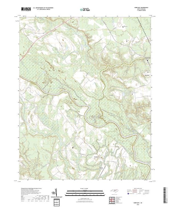 2022 Norfleet2022 Print · USGSThe Roanoke River lowlands and the community of Roxobel are shown here as they appeared in the early 2020s. Genealogists and local historians can locate family burial sites like Norfleet Cem and Bell Cem alongside landmarks such as Sandy Branch Baptist Church.
 - 2022 Map of Weldon, 2022 Print
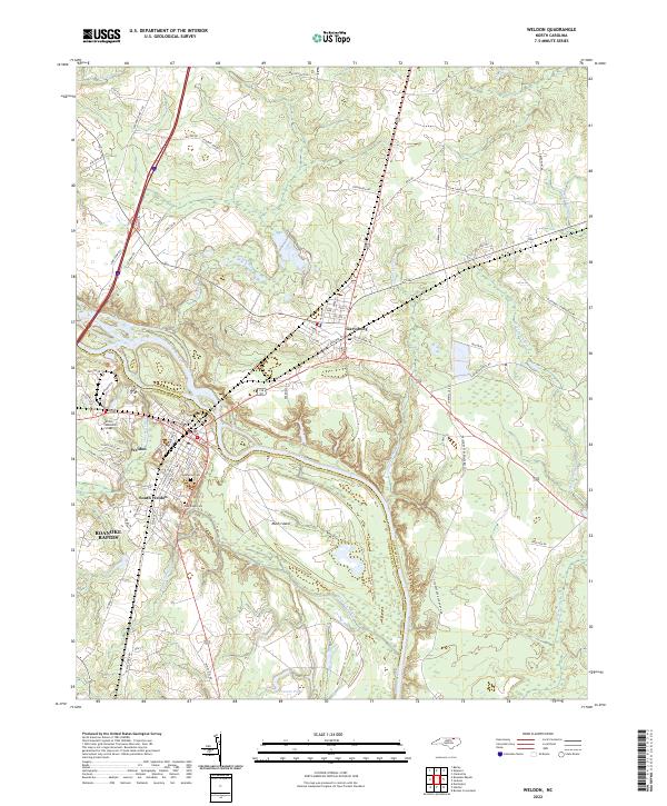 2022 Weldon2022 Print · USGSThe Roanoke River basin in the 2020s remains a critical corridor for Weldon and Garysburg, where traditional riverfront settlements meet modern academic hubs. Genealogists can trace family landmarks at Cedarwood Cem and Oak Ridge Cem, or locate rural reaches like Mush Island.
 - 2022 Map of Thelma, 2022 Print
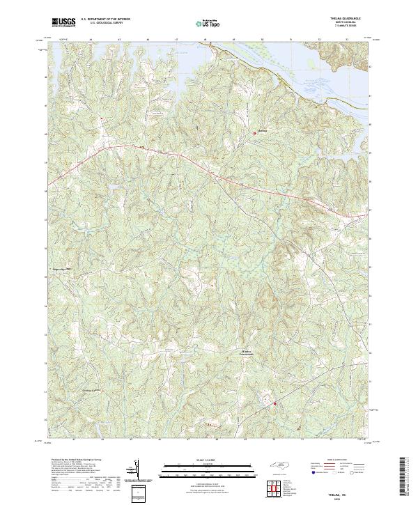 2022 Thelma2022 Print · USGSHalifax and Northampton Counties meet at the Roanoke River in this contemporary 2020s study of the North Carolina borderlands. Genealogists and local historians can trace the rural hubs of Thelma, Hinnes Crossroads, and Gretna Green alongside the shorelines of Lake Gaston.
 - 2022 Map of Kelford, 2022 Print
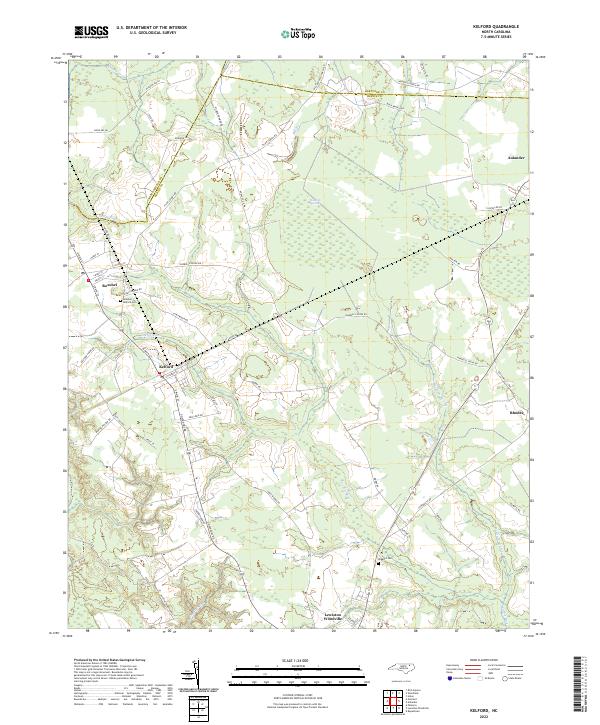 2022 Kelford2022 Print · USGSThe rural landscapes of Bertie and Hertford Counties are detailed in the early 2020s, showing the agricultural heart of northeastern North Carolina. Researchers can locate family landmarks like the Hoggard Cem or trace the drainage of the Cashie River near Roxobel.
 - 2022 Map of Boones Crossroads, 2022 Print
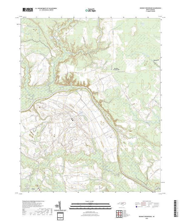 2022 Boones Crossroads2022 Print · USGSCoastal plain wetlands and small rural settlements dominate this 2020s landscape along the Roanoke River. Genealogists and researchers can trace local road networks like Bridgers Ferry Rd and locate landmarks such as Barrows Millpond or Boones Crossroads.
 - 2022 Map of Conway, 2022 Print
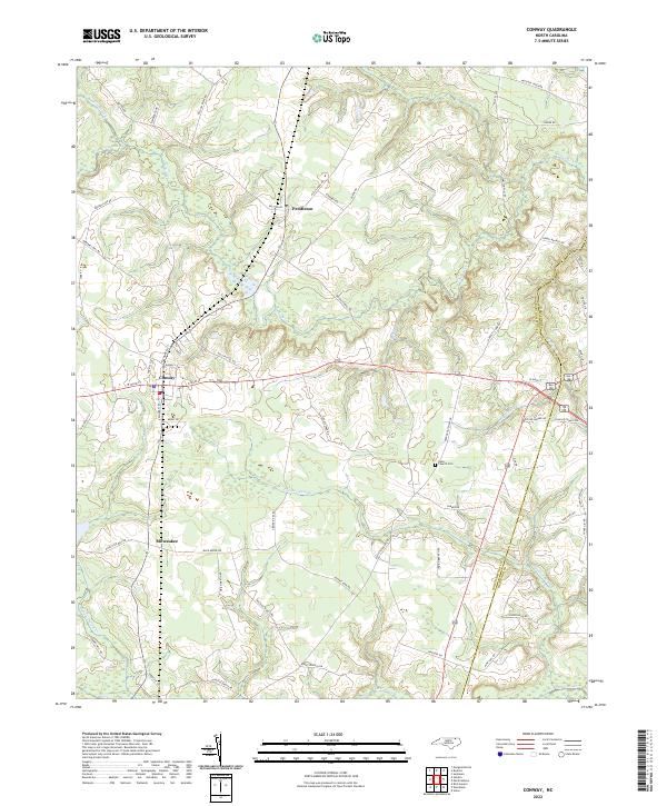 2022 Conway2022 Print · USGSConway and its neighboring rural communities are shown in this contemporary study of the North Carolina Coastal Plain. Researchers can trace family history through sites like Nebo Church Cem or follow the paths of Panther Swamp and Potecasi Cr.
 - 2022 Map of Margarettsville, 2022 Print
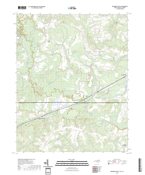 2022 Margarettsville2022 Print · USGSThe borderlands of North Carolina and Virginia appear here in the early twenty-first century, defined by the winding Meherrin River. Genealogists and local historians can trace the rural landscape around Margarettsville, Little Texas, and Branchville.
 - 2022 Map of Barley, 2022 Print
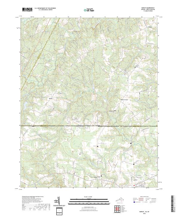 2022 Barley2022 Print · USGSThe Virginia and North Carolina borderlands are captured here in the early twenty-first century. Genealogists and historians can trace numerous family plots such as Massey Cemetery and Rook Cemetery, or explore the crossroads at Slates Corner and Gaston.
 - 2022 Map of Skippers, 2022 Print
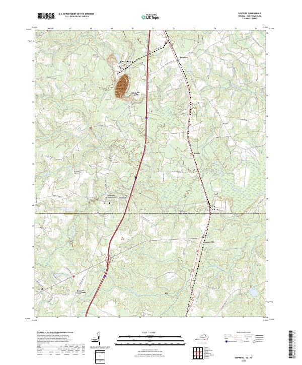 2022 Skippers2022 Print · USGSThe Virginia and North Carolina borderlands come into focus in this recent survey of the Greensville County region. Genealogists can trace family landmarks and rural settlements including Mitchells Mill, Robinson Cem, and the quiet intersections of Turners Crossroads.
 - 2022 Map of Sunbeam, 2022 Print
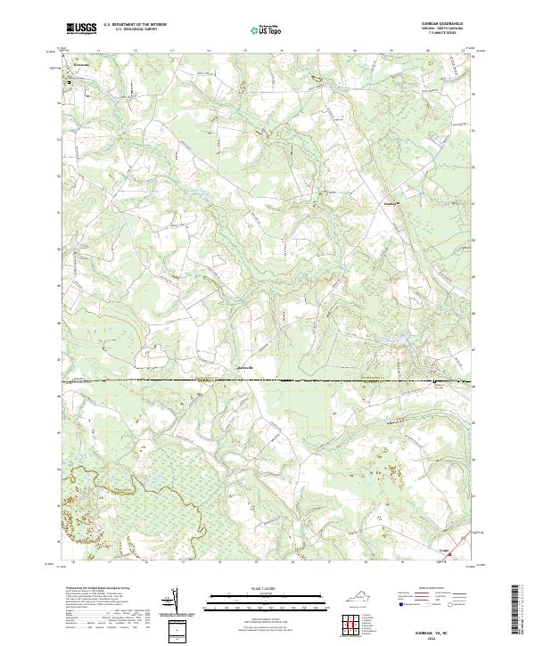 2022 Sunbeam2022 Print · USGSThe Virginia and North Carolina borderlands come alive in this recent survey of Southampton and Hertford counties. Researchers can trace local lineage through Hollywood Cemetery and Barnes Church while exploring the banks of the Meherrin River.
 - 2022 Map of Gasburg, 2022 Print
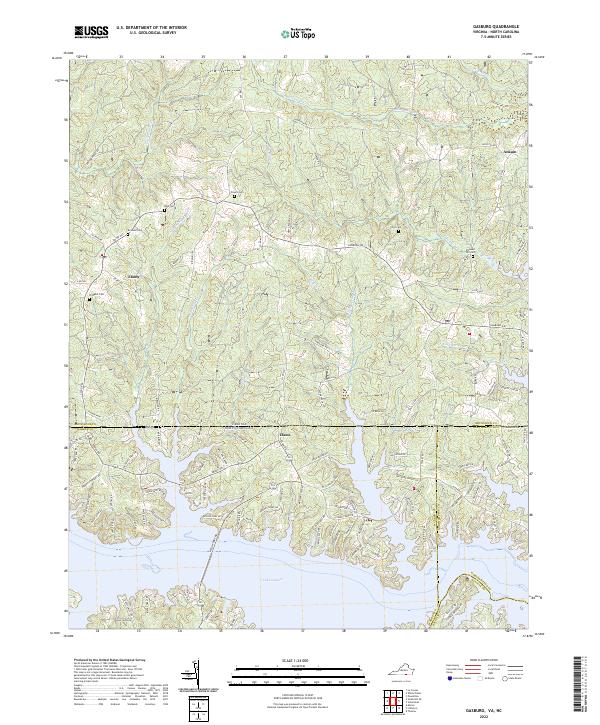 2022 Gasburg2022 Print · USGSThe Virginia and North Carolina border comes alive in this 2022 survey of the rural landscape surrounding the upper reaches of Lake Gaston. Researchers can locate several family burial grounds like Pleasant Hill Cem and trace the small-town layouts of Ebony and Ankum.
 - 2022 Map of Boykins, 2022 Print
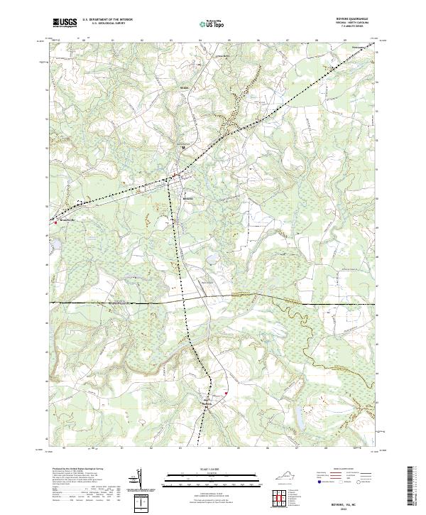 2022 Boykins2022 Print · USGSThe Virginia and North Carolina borderlands come into focus in this contemporary survey of the Meherrin River valley. Researchers can trace local history through old road networks and landmarks like Beechwood Cem, Mann Airport, and the rail-oriented town of Boykins.
 - 2022 Map of Valentines, 2022 Print
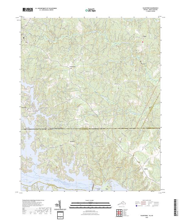 2022 Valentines2022 Print · USGSThe Virginia-North Carolina borderlands are captured here in a period of modern lakeside development and rural continuity. Researchers can trace local lineage near Clary Cem or explore the waterfront evolution around Henrico and Lake Gaston.
 - 2022 Map of Claresville, 2022 Print
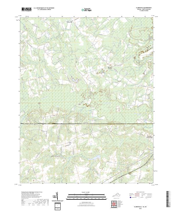 2022 Claresville2022 Print · USGSThe borderlands of Virginia and North Carolina appear here in the early twenty-first century, showcasing a rural landscape defined by slow-moving waterways and swampy lowlands. Researchers can trace local history through named roads and settlements like Claresville, Turners Crossroads, and Glover Airport.
End of results
Showing maps 1-24 of 24
Top cities of Northampton County
- Garysburg historical maps
- Rich Square historical maps
- Gaston historical maps
- Woodland historical maps
- Conway historical maps
- Jackson historical maps
See more
Frequently asked questions
- What are the different types of historical maps available for Northampton County?
- What is the oldest map of Northampton County?
- Where can I purchase historical maps of Northampton County for my home or office?
- Where can I download high-res historical maps of Northampton County?
- Are there historical topographic maps available for Northampton County?
- Is there historical aerial imagery available for Northampton County?
- Where are historical maps of Northampton County sourced from?