Old Maps of Conway, North Carolina for Genealogy
Trace your family roots with 8 historic maps of Conway. These high-res maps reveal old neighborhoods, homesites, landmarks, and streets — helping you uncover where your ancestors lived and how the area evolved over time.
- Explore historic neighborhoods: Identify where your relatives may have lived in the 1800s or 1900s.
- Compare maps over time: Trace the changes in streets, buildings, and landmarks for multi-generational research.
- Perfect for genealogy & ancestry research: Used by family historians and researchers to map out lineage and migration.
These maps are an incredible resource for exploring your personal connection to Conway's past.
Conway, NC maps
(8)- 1953 Map of Norfolk, 1954 Print
 1953 Norfolk1954 Print · USGSCoastal Virginia and northeastern North Carolina appear here during the post-war industrial boom, showing the critical rail-and-sea connections of Hampton Roads. Genealogists can trace family roots through rural landmarks like Gethsemane Ch, the Caledonia State Prison Farm, and the vast interior of the Dismal Swamp.4 unique versions available
 - 1973 Map of Conway, 1977 Print
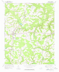 1973 Conway1977 Print · USGSNorthampton County during the 1970s is characterized by quiet rail-side hamlets and extensive swamp drainages. Genealogists and local historians can trace legacy landmarks like Roberts Chapel, Hare Sch, and the old rail path of the Seaboard Coast Line.
 - 1985 Map of Roanoke Rapids
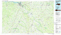 1985 Roanoke Rapids1985 Print · USGSNorthern North Carolina's river-driven economy is on display here in the mid-1980s, from the hydro-power at Roanoke Rapids to the rural millponds. Genealogists can trace family lands near Wiccacanee Pond, Mush Island, or the remote Urahaw Swamp.2 unique versions available
 - 2010 Map of Conway, 2010 Print
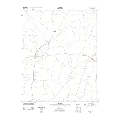 2010 Conway2010 Print · USGSNorthampton County coastal plain communities are captured here in the early 2000s as they are today. Genealogists and local historians can trace family locations near Nebo Church Cemetery, Doolittle Millpond, and the primary settlements of Conway and Milwaukee.
 - 2013 Map of Conway, 2013 Print
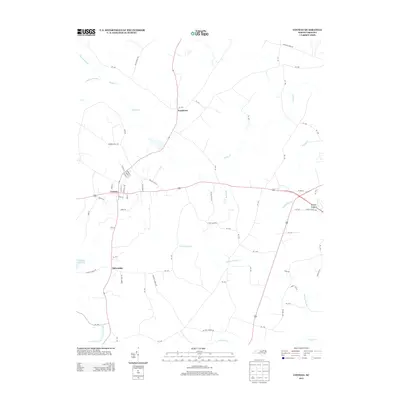 2013 Conway2013 Print · USGSCoastal plain settlements and extensive wetland systems characterize this part of Northampton County in the early twenty-first century. Genealogists and local historians can trace family land via Gilmer Ricks Rd, locate the waters of Doolittle Millpond, or explore the rural hubs of Conway and Milwaukee.
 - 2016 Map of Conway, 2016 Print
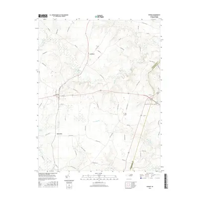 2016 Conway2016 Print · USGSCoastal plain life in Northampton County is captured here in the mid-2010s, showing the agricultural and wetland landscape surrounding Conway. Researchers can trace family-named routes and local landmarks like Nebo Church, Doolittle Millpond, and the village of Milwaukee.
 - 2019 Map of Conway, 2019 Print
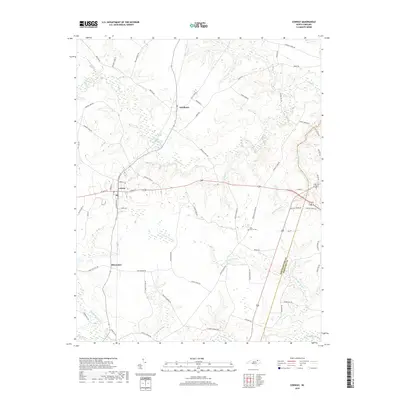 2019 Conway2019 Print · USGSConway and its neighboring communities in Northampton County are captured here during the late twenty-tens. Researchers can trace the layout of Conway, Pendleton, and Milwaukee, or locate local landmarks like the Nebo Church Cem.
 - 2022 Map of Conway, 2022 Print
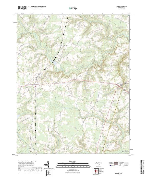 2022 Conway2022 Print · USGSConway and its neighboring rural communities are shown in this contemporary study of the North Carolina Coastal Plain. Researchers can trace family history through sites like Nebo Church Cem or follow the paths of Panther Swamp and Potecasi Cr.
End of results
Showing maps 1-8 of 8
Top cities near Conway
- Ahoskie historical maps
- Murfreesboro historical maps
- Rich Square historical maps
- Aulander historical maps
- Woodland historical maps
- Jackson historical maps
See more
Frequently asked questions
- What are the different types of historical maps available for Conway?
- What is the oldest map of Conway?
- Where can I purchase historical maps of Conway for my home or office?
- Where can I download high-res historical maps of Conway?
- Are there historical topographic maps available for Conway?
- Is there historical aerial imagery available for Conway?
- Where are historical maps of Conway sourced from?