Old Maps of Perquimans County, North Carolina for Hiking & Exploration
Hike through history with 93 historic maps of Perquimans County. Explore old trails, ghost towns, and forgotten backroads — perfect for outdoor adventurers and local explorers.
- Rediscover forgotten places: Map out old mining camps, roads, and footpaths that no longer exist on modern maps.
- Layer with modern tools: Combine with LiDAR or satellite views to plan hikes through historical terrain.
- Made for exploration: Popular among hikers, overlanders, and local history lovers.
Use these maps to find adventure and explore the hidden past of Perquimans County.
Perquimans County, NC maps
(93)- 1904 Map of Edenton
 1904 Edenton1904 Print · USGSThe Chowan River and Albemarle Sound waterfronts are documented here at the turn of the century. Genealogists and historians can trace defunct river landings like Jernigens Wharf and old postal hubs such as Mege P.O. and Tynes P.O. Center Hill.2 unique versions available
 - 1906 Map of Hertford
 1906 Hertford1906 Print · USGSThe coastal plains of North Carolina near the Albemarle Sound are captured here during a period of river-reliant commerce and early rail growth. Researchers can trace the waterfront legacy of Hertford, the routes of the Norfolk and Southern RR, and rural post offices like Durants Neck PO.3 unique versions available
 - 1906 Map of Beckford
 1906 Beckford1906 Print · USGSCoastal North Carolina at the turn of the century reveals a world of swamp-based industry and riverine commerce. Trace family roots and old landmarks across the landscape from the wharves at Taylor Wharf to crossroads like Wiggins Crossroads and the mills at Merchants Mill Pond.
 - 1907 Map of Beckford
 1907 Beckford1907 Print · USGSNortheastern North Carolina was a landscape of deep swamps and river commerce in the early 1900s. Genealogists can trace family landmarks at Merchants Mill, find rural congregations like Joppa Church, or follow the steam routes past Holidays Island.2 unique versions available
 - 1940 Map of Hertford
 1940 Hertford1940 Print · USGSThe coastal necks of Perquimans County are caught here in the early 1940s, showing a landscape defined by its deep relationship with the Albemarle Sound. Researchers can trace the waterfront history of Hertford or locate rural sites like the Durants Neck P O and Pleasant Grove Church.2 unique versions available
 - 1940 Map of Beckford
 1940 Beckford1940 Print · USGSNortheastern North Carolina in the early 1940s was a land of timbered swamps and essential river crossings. Genealogists and historians can trace old homesteads and transport hubs near Cannon Ferry, Merchants Millpond, and the Beckford Junction rail crossing.2 unique versions available
 - 1940 Map of Wade Point, 1973 Print
 1940 Wade Point1973 Print · USGSCoastal Pasquotank County at the start of the 1940s shows a landscape of tidewater farming and strategic military aviation. Genealogists and historians can trace family locations near Weeksville, the Air Base, and the fishing grounds of the Frog Island Fishing Club.
 - 1940 Map of South Mills, 1976 Print
 1940 South Mills1976 Print · USGSCamden and Pasquotank counties are shown in the early 1940s as communities navigated the edges of the Dismal Swamp. Genealogists can locate family-named hubs like Pierceville and Johnsons Corner or trace the Norfolk Southern Railroad line.
 - 1942 Map of Edenton
 1942 Edenton1942 Print · USGSThe Albemarle Sound and Chowan River shoreline appear here during the Second World War as both a military hub and a quiet riverfront. Researchers can trace historic river landings like Mt Gould Landing alongside the sprawling U S Marine Corps Air Station and the Norfolk Southern RR.
 - 1943 Map of Wade Point
 1943 Wade Point1943 Print · USGSThe North Carolina tidewater during the mid-forties is captured here as coastal defense and local life intersect along the Pasquotank River. Trace wartime activity at the Naval Air Base or explore rural settlements like Old Trap, Weeksville, and Listers Corner.
 - 1943 Map of Edenton
 1943 Edenton1943 Print · USGSCoastal North Carolina during the early years of the war shows a landscape of strategic military sites and traditional river landings. Genealogists can trace family roots through St. Johns church or explore the rail-and-water economy at Edenton and Hermitage Wharf.
 - 1948 Map of Wade Point
 1948 Wade Point1948 Print · USGSCoastal Pasquotank County is seen here in the late 1940s, where the river-rich landscape meets the sound. Genealogists can trace family names and small hubs like Weeksville, Listers Corner, and the Frog Island Fishing Club along the intricate marshes and creeks.2 unique versions available
 - 1952 Map of South Mills
 1952 South Mills1952 Print · USGSCoastal North Carolina at mid-century reveals a complex network of timber mills and canal-side hamlets bordering the great wetlands. Trace ancestral roots and early industry through family landmarks like Lynchs Corner, the Dismal Swamp Canal, and Burnt Mills.
 - 1953 Map of Norfolk, 1954 Print
 1953 Norfolk1954 Print · USGSCoastal Virginia and northeastern North Carolina appear here during the post-war industrial boom, showing the critical rail-and-sea connections of Hampton Roads. Genealogists can trace family roots through rural landmarks like Gethsemane Ch, the Caledonia State Prison Farm, and the vast interior of the Dismal Swamp.4 unique versions available
 - 1981 Map of Edenton
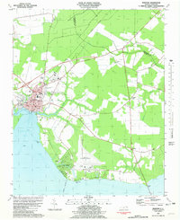 1981 Edenton1981 Print · USGSThe Albemarle Sound waterfront near the turn of the 1980s shows the historic port of Edenton alongside modern aviation and residential growth. Genealogists and researchers can trace local landmarks like Johnston Cem, St Johns Ch, and the sprawling Cape Colony development.2 unique versions available
 - 1982 Map of Nixonton
 1982 Nixonton1982 Print · USGSEastern North Carolina's tidewater landscape appears in the early 1980s as a patchwork of riverfront landings and rural crossroads. Genealogists can trace family names through sites like Wilson Cem, Godfrey Cem, and the riverfront settlement at Nixonton.
 - 1982 Map of Yeopim River
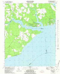 1982 Yeopim River1982 Print · USGSCoastal North Carolina in the early eighties shows a landscape of riverfront growth and quiet rural tradition. Researchers can trace family-named sites like Philips Landing and Nixons Beach or locate old community centers such as New Haven Ch.
 - 1982 Map of Center Hill
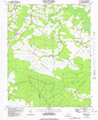 1982 Center Hill1982 Print · USGSThe lowlands of Perquimans and Chowan counties are captured here in the early eighties, defined by the vast Bear Swamp and the Perquimans River. Genealogists can trace family roots through several rural congregations like Happy Home Ch and numerous small country Cemeteries.
 - 1982 Map of Harvey
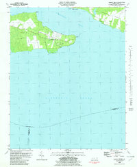 1982 Harvey1982 Print · USGSCoastal Perquimans County in the early eighties was a landscape defined by military testing and tidal waters. You can trace the footprint of the Harvey Point Defense Testing Activity or locate family sites like Harvey Cem and Newby Landing.
 - 1982 Map of Weeksville
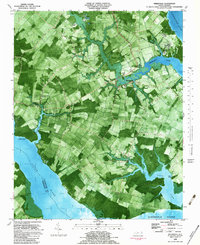 1982 Weeksville1982 Print · USGSCoastal Pasquotank County is seen here in the early eighties as a landscape of tidewater creeks and established rural communities. Trace the grounds of the USCG Airbase or locate local landmarks like Newbegun Ch and Listers Corner near the Albemarle Sound.
 - 1982 Map of Pasquotank
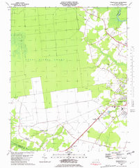 1982 Pasquotank1982 Print · USGSIn the early 1980s, the edge of the Great Dismal Swamp met the expanding infrastructure of Elizabeth City and the Pasquotank River. Researchers can trace the layout of community landmarks like Albemarle Academy, Samuel Chapel, and the industrial corridors of the NORFOLK SOUTHERN railroad.
 - 1982 Map of Chapanoke
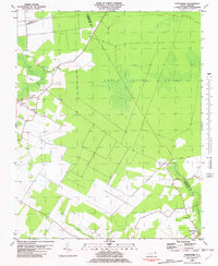 1982 Chapanoke1982 Print · USGSPerquimans County in the early eighties was defined by the intersection of rural settlements and the southern edge of the Great Dismal Swamp. Genealogists and local historians can trace family roots at Up River Ch or locate the paths of the Norfolk Southern and an Old Railroad Grade.
 - 1982 Map of Lynchs Corner
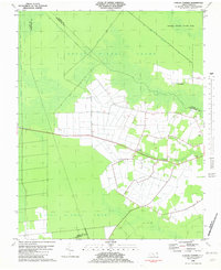 1982 Lynchs Corner1982 Print · USGSThe Pasquotank County wetlands in the early eighties were a complex mosaic of conservation and remote settlements. Researchers can trace the legacy of the swamp through the Old Railroad Grade and find local landmarks like Ramoth Gilead Ch and Lynchs Corner.
 - 1982 Map of Hertford
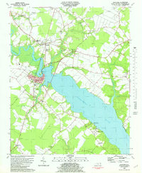 1982 Hertford1982 Print · USGSThe riverfront culture of Perquimans County is on full display in the early 1980s as Hertford and Winfall straddle the water. Trace the footprints of rural life through family-named landmarks like Smithtown and numerous local meeting houses like Oak Hill Ch and Poplar Run Ch.
 - 1982 Map of Hobbsville
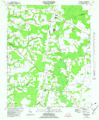 1982 Hobbsville1982 Print · USGSCoastal plain farming and the fringes of the Great Dismal Swamp define this corner of North Carolina in the early eighties. Genealogists and local historians can trace family roots through numerous landmarks like Winslow Grove Ch, Belvidere, and the Old Railroad Grade.
Showing maps 1-25 of 93
Top cities of Perquimans County
Frequently asked questions
- What are the different types of historical maps available for Perquimans County?
- What is the oldest map of Perquimans County?
- Where can I purchase historical maps of Perquimans County for my home or office?
- Where can I download high-res historical maps of Perquimans County?
- Are there historical topographic maps available for Perquimans County?
- Is there historical aerial imagery available for Perquimans County?
- Where are historical maps of Perquimans County sourced from?