Old Maps of Roxboro, North Carolina for Academic Research
Study the evolution of Roxboro with 33 high-resolution historic maps. Whether you're teaching, researching, or modeling changes in land use, these maps provide essential visual documentation of urban, environmental, and geographic change.
- Analyze long-term change: Track patterns in development, transportation, and natural features.
- Ideal for environmental or urban studies: Support academic projects with primary historical map data.
- Use in the classroom or lab: Educators and researchers rely on these maps to bring historical context to life.
These maps are a powerful tool for teaching, research, and visualizing how Roxboro has changed over the decades.
Roxboro, NC maps
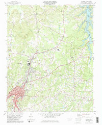
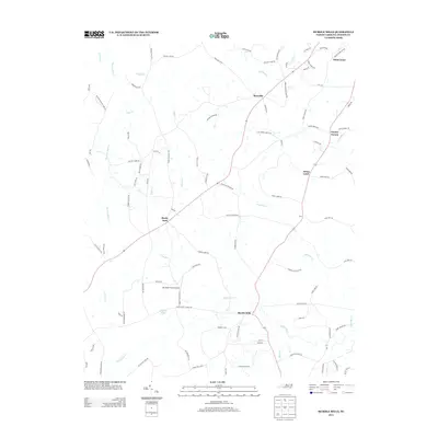
(33)- 1943 Map of Roxboro, 1956 Print
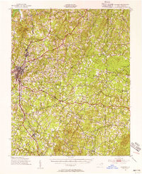 1943 Roxboro1956 Print · USGSPerson and Granville counties are captured here during the Second World War as rural life intersected with military expansion. Genealogists can locate numerous family-run landmarks and early institutions like Dixon Store, Mt Tirzah Ch, and Allensville Sch.2 unique versions available
 - 1953 Map of Greensboro, 1981 Print
 1953 Greensboro1981 Print · USGSThe Piedmont borderlands of North Carolina and Virginia show a landscape defined by new reservoirs and old rail lines. Trace family roots and the changing river geography through Elon College, the John H Kerr Reservoir, and South Boston.
 - 1954 Map of Greensboro
 1954 Greensboro1954 Print · USGSThe Piedmont borderlands of North Carolina and Virginia come alive in this mid-fifties study of a region defined by its rivers and rails. Researchers can trace the growing Buggs Island Lake or follow the paths of the Southern Ry and Seaboard Air Line RR through towns like Oxford and Reidsville.
 - 1962 Map of Greensboro
 1962 Greensboro1962 Print · USGSThe Piedmont region along the Virginia and North Carolina border comes alive in the early 1960s, showing a landscape defined by industry and new reservoirs. Trace the path of the Virginian RR or explore the early development of Greensboro and Durham.
 - 1966 Map of Greensboro
 1966 Greensboro1966 Print · USGSThe North Carolina and Virginia Piedmont thrives during the mid-sixties, showcasing a landscape of textile hubs and expanding river reservoirs. Researchers can trace the rail corridors of the Southern Railway, find local landmarks like Elon College, or locate the extensive Camp Butner Military Reservation.
 - 1968 Map of Hurdle Mills, 1971 Print
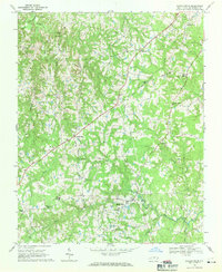 1968 Hurdle Mills1971 Print · USGSPerson County’s rural landscape is captured here in the late sixties, showing a community defined by its river forks and crossroads settlements. Genealogists can locate family landmarks like Paynes Tavern, Oak Lane Sch, and numerous country churches including Clement Ch.
 - 1968 Map of Olive Hill, 1994 Print
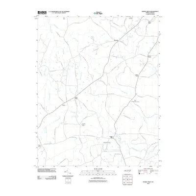
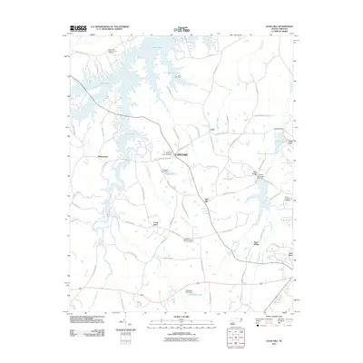
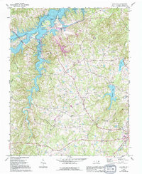 1968 Olive Hill1994 Print · USGSPerson County life in the late sixties centers on the newly formed Hyco Lake and the expanding infrastructure near Roxboro. Genealogists and local historians can trace family-named landmarks and rural hubs like Longs Store, Ceffo, and Woodland Sch.
 - 1981 Map of Timberlake, 1982 Print
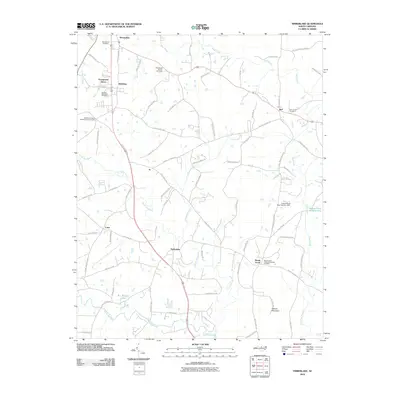
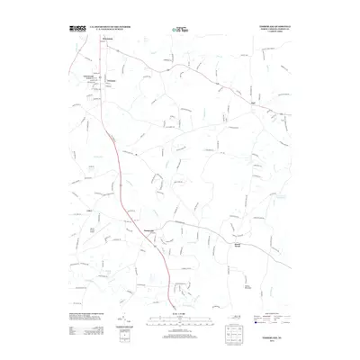
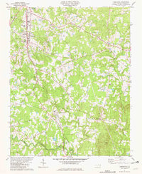 1981 Timberlake1982 Print · USGSPerson County life in the early eighties revolves around the rail and river network. Genealogists and local historians can trace family ties through Person Memorial Cem, Helena Sch, and rural hubs like Timberlake and Brooksdale.2 unique versions available
 - 1982 Map of Roxboro
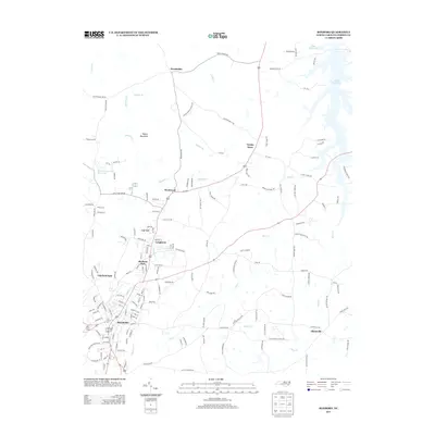
 1982 Roxboro1982 Print · USGSRoxboro and its surrounding mill towns are captured here in the early eighties, showing the region's shift toward modern infrastructure. Trace family landmarks like Rock Grove Cem or follow the Norfolk and Western rail line through Longhurst and Cal-Vel.2 unique versions available
 - 1984 Map of Greensboro
 1984 Greensboro1984 Print · USGSThe North Carolina Piedmont in the mid-eighties shows a region of growing urban centers and vital water resources. Local historians can trace the development of Greensboro, locate the Elon College campus, or explore the grounds of Guilford Courthouse National Military Park.
 - 1984 Map of Henderson, 1985 Print
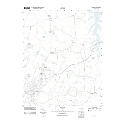
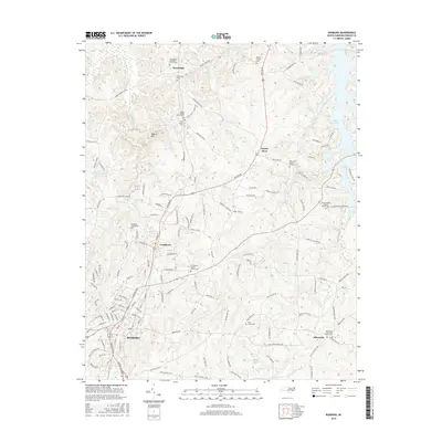
 1984 Henderson1985 Print · USGSNorth Carolina’s northern Piedmont comes into focus in the mid-1980s, centered on the crossroads of Henderson and Oxford. Genealogists and historians can trace the paths of the Southern railroad or locate communities near the Camp Butner National Guard Range and John H. Kerr Reservoir.
 - 1991 Map of Henderson
 1991 Henderson1991 Print · USGSThe northern Piedmont and Virginia borderlands come into focus in the early nineties, showing a landscape defined by major reservoirs and growing towns. Trace the rail-and-road connections between Oxford, Henderson, and Durham while exploring the developing shores of Falls Lake.2 unique versions available
 - 1997 Map of Hurdle Mills, 2000 Print
 1997 Hurdle Mills2000 Print · USGSPerson County in the late nineties retains its traditional rural character, centered on the historic crossroads of Hurdle Mills. Genealogists and local historians can trace family roots through landmarks like Paynes Tavern, Oak Lane Sch, and Paschall Ch.
 - 2010 Map of Roxboro, 2010 Print
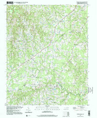
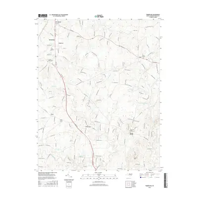
 2010 Roxboro2010 Print · USGSCovers Roxboro, including Allensville, Gentry Store, and other nearby areas
 - 2010 Map of Hurdle Mills, 2010 Print
 2010 Hurdle Mills2010 Print · USGSCovers Roxboro, including Bushy Fork, Whitt Town, and other nearby areas
 - 2010 Map of Timberlake, 2010 Print
 2010 Timberlake2010 Print · USGSCovers Roxboro, including Surl, Mount Tirzah, and other nearby areas
 - 2011 Map of Olive Hill, 2011 Print
 2011 Olive Hill2011 Print · USGSCovers Roxboro, including Longs Store, Williamsville, and other nearby areas
 - 2013 Map of Timberlake, 2013 Print
 2013 Timberlake2013 Print · USGSCovers Roxboro, including Surl, Mount Tirzah, and other nearby areas
 - 2013 Map of Roxboro, 2013 Print
 2013 Roxboro2013 Print · USGSCovers Roxboro, including Allensville, Gentry Store, and other nearby areas
 - 2013 Map of Hurdle Mills, 2013 Print
 2013 Hurdle Mills2013 Print · USGSCovers Roxboro, including Bushy Fork, Whitt Town, and other nearby areas
 - 2013 Map of Olive Hill, 2013 Print
 2013 Olive Hill2013 Print · USGSCovers Roxboro, including Longs Store, Williamsville, and other nearby areas
 - 2016 Map of Hurdle Mills, 2016 Print
 2016 Hurdle Mills2016 Print · USGSCovers Roxboro, including Bushy Fork, Whitt Town, and other nearby areas
 - 2016 Map of Olive Hill, 2016 Print
 2016 Olive Hill2016 Print · USGSCovers Roxboro, including Longs Store, Williamsville, and other nearby areas
 - 2016 Map of Timberlake, 2016 Print
 2016 Timberlake2016 Print · USGSCovers Roxboro, including Surl, Mount Tirzah, and other nearby areas
 - 2016 Map of Roxboro, 2016 Print
 2016 Roxboro2016 Print · USGSCovers Roxboro, including Allensville, Gentry Store, and other nearby areas
Showing maps 1-25 of 33
Top cities near Roxboro
Top neighborhoods of Roxboro
- Brooksdale historical maps
- Greenwood Acres historical maps
- Cal-Vel historical maps
- Madison Park historical maps
- Somerset historical maps
- Longhurst historical maps
See more
Frequently asked questions
- What are the different types of historical maps available for Roxboro?
- What is the oldest map of Roxboro?
- Where can I purchase historical maps of Roxboro for my home or office?
- Where can I download high-res historical maps of Roxboro?
- Are there historical topographic maps available for Roxboro?
- Is there historical aerial imagery available for Roxboro?
- Where are historical maps of Roxboro sourced from?