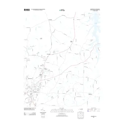
2013 Map of Roxboro
USGS Topo · Published 2013About this map
Roxboro serves as the central hub of this 2013 survey of Person County, showing the evolution of the landscape from the historic downtown core outward to specialized industrial and residential clusters like Cal-Vel and Longhurst. The northeastern corner is dominated by the sprawling reaches of the Mayo Reservoir, while the northern terrain rises toward Hagers Mountain. This modern topography documents the persistence of smaller community landmarks such as Gentry Store and Allensville alongside 21st-century infrastructure. A complex network of creeks including Marlowe Cr and Mill Cr flows through the area, defining the drainage patterns around Madison Park and the State Prison Camp. The map provides a detailed view of the local road system, from established routes like Shiloh Church Rd to the suburban street grids of Fairfield Park.
Find a feature on this map
159 named features on this map. Tap any name to fly to it.
Don’t see what you’re looking for? This feature index may not catch every label — zoom into the map to look around manually.
Map Details
Editions of this 2013 Roxboro Map
This is the sole edition of this map. No revisions or reprints were ever made.
Other maps of this area

1943 · Roxboro
USGS Topo · 1:62,500

1952 · Milton
USGS Topo · 1:62,500

1953 · South Boston
USGS Topo · 1:62,500

1953 · Greensboro
USGS Topo · 1:250,000

1954 · Greensboro
USGS Topo · 1:250,000

1956 · Milton
USGS Topo · 1:62,500

1957 · South Boston
USGS Topo · 1:62,500

1962 · Greensboro
USGS Topo · 1:250,000

1966 · Greensboro
USGS Topo · 1:250,000

1968 · Hurdle Mills
USGS Topo · 1:24,000