Old Maps of Congleton, North Carolina
Explore 11 old maps of Congleton, spanning from 1901 to today. These high-resolution historic maps reveal how streets, neighborhoods, landmarks, and natural features evolved over time — perfect for genealogy, metal detecting, research, and local history exploration.
What you can do with these maps:
- See how Congleton changed over time: Compare historical maps to modern-day views to trace roads, homesites, rail lines & more.
- View detailed metadata: Each map includes creators, publishers, year, scale, and archive source.
- Overlay maps with satellite & LiDAR: Visualize the past alongside modern tools to explore terrain & human change.
- Trusted historical sources: Maps sourced from the USGS, Library of Congress, and other archives.
- Access maps your way: View online, download high-res files, or order prints for personal or research use.
Start exploring old maps of Congleton to uncover forgotten places, hidden landmarks, and the deep history beneath your feet.
Congleton, NC maps
(11)- 1901 Map of Williamston, 1972 Print
 1901 Williamston1972 Print · USGSThe Roanoke River basin at the turn of the century shows a thriving network of steamboat landings and new rail lines. Genealogists and researchers can trace the river economy through Spellers Ferry Landing, Grabtown, and the Atlantic Coast Line R. R.
 - 1902 Map of Williamston, 1944 Print
 1902 Williamston1944 Print · USGSMartin County’s riverfront and rail corridors are frozen in time here at the dawn of the twentieth century. Genealogists and local historians can trace family roots through landings like Spellers Ferry Landing or settlements at Everetts and Goldpoint.
 - 1953 Map of Rocky Mount, 1964 Print
 1953 Rocky Mount1964 Print · USGSEastern North Carolina in the mid-fifties is defined by its deep river basins and the vast wetlands of the Tidewater. Genealogists can trace family roots through hubs like Kinston and New Bern or explore the wilderness of Pettigrew State Park and Lake Mattamuskeet.4 unique versions available
 - 1954 Map of Rocky Mount
 1954 Rocky Mount1954 Print · USGSEastern North Carolina is mapped in the mid-fifties, showing a landscape of sounds, swamps, and steam-era rail lines. Genealogists can trace the rural road networks and rail spurs connecting towns like Tarboro, Greenville, and the remote Columbia.
 - 1981 Map of Robersonsville East, 1982 Print
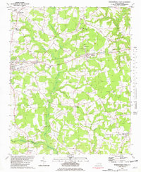 1981 Robersonsville East1982 Print · USGSThe rural landscape of Martin County is captured here in the early eighties, showcasing the rail-reliant towns of Robersonville and Everetts. Local researchers can trace family roots through numerous sites like Martin Academy, Willow Chapel, and Bear Grass.
 - 1985 Map of Rocky Mount
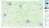 1985 Rocky Mount1985 Print · USGSThe eastern North Carolina coastal plain in the mid-eighties shows a landscape defined by its river-and-rail heritage. Genealogists and local historians can trace the development of Rocky Mount, Greenville, and Wilson, or locate landmarks like East Carolina University and the Voice of America site.2 unique versions available
 - 2010 Map of Robersonville East, 2010 Print
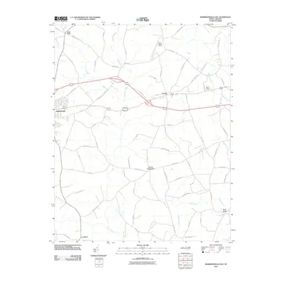 2010 Robersonville East2010 Print · USGSThe eastern reaches of Martin County are shown here in the early twenty-first century as a landscape of rural crossroads and extensive coastal swamps. Researchers can trace local history through settlements like Gold Point, Everetts, and the aptly named Church Crossroads.
 - 2013 Map of Robersonville East, 2013 Print
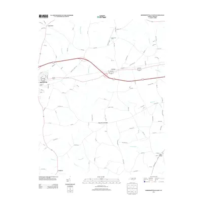 2013 Robersonville East2013 Print · USGSRobersonville and the surrounding Martin County swamplands are shown in this modern survey of the coastal plain. Genealogists and local historians can trace the road networks connecting Gold Point, Everetts, and Bear Grass alongside the waters of Huskanaw Swamp.
 - 2016 Map of Robersonville East, 2016 Print
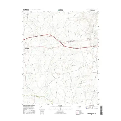 2016 Robersonville East2016 Print · USGSRobersonville and the surrounding Martin County agricultural lands are documented here in the mid-2010s, showing a landscape defined by its deep swamps and small settlements. Local researchers can trace the roads connecting Everetts, Gold Point, and Bear Grass across the waters of Turkey Swamp and Ross Swamp.
 - 2019 Map of Robersonville East, 2019 Print
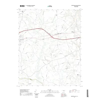 2019 Robersonville East2019 Print · USGSMartin County at the end of the 2010s shows a landscape where small-town life meets the sprawling wetlands of the coastal plain. Genealogists and local historians can trace the road networks around Bear Grass, Robersonville, and the waters of Turkey Swamp.
 - 2022 Map of Robersonville East, 2022 Print
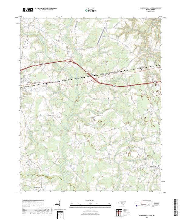 2022 Robersonville East2022 Print · USGSMartin County's agricultural heartland is documented here in the early twenty-first century as it centers on the growth of Robersonville and Everetts. Researchers can trace the rural landscape from the Martin County Airport down to the remote reaches of Collie Swamp and Bear Grass.
End of results
Showing maps 1-11 of 11
Top cities near Congleton
- Greenville historical maps
- Washington historical maps
- Williamston historical maps
- Winterville historical maps
- Bethel historical maps
- Robersonville historical maps
See more
Frequently asked questions
- What are the different types of historical maps available for Congleton?
- What is the oldest map of Congleton?
- Where can I purchase historical maps of Congleton for my home or office?
- Where can I download high-res historical maps of Congleton?
- Are there historical topographic maps available for Congleton?
- Is there historical aerial imagery available for Congleton?
- Where are historical maps of Congleton sourced from?