Old Maps of Winterville, North Carolina for Academic Research
Study the evolution of Winterville with 28 high-resolution historic maps. Whether you're teaching, researching, or modeling changes in land use, these maps provide essential visual documentation of urban, environmental, and geographic change.
- Analyze long-term change: Track patterns in development, transportation, and natural features.
- Ideal for environmental or urban studies: Support academic projects with primary historical map data.
- Use in the classroom or lab: Educators and researchers rely on these maps to bring historical context to life.
These maps are a powerful tool for teaching, research, and visualizing how Winterville has changed over the decades.
Winterville, NC maps
(28)- 1902 Map of Ayden, 1962 Print
 1902 Ayden1962 Print · USGSCoastal plains and swampy bottomlands at the turn of the century reveal a landscape reliant on river transport and early rail. Genealogists can trace family-named river landings like Biddle Ldg. and Pearce Ldg. or follow the Atlantic Coast Line through Ayden.2 unique versions available
 - 1903 Map of Winterville, 1954 Print
 1903 Winterville1954 Print · USGSPitt County at the dawn of the twentieth century was a landscape of river landings and new rail lines. Genealogists can trace early homesteads near Greenville and Winterville or locate landmarks like the Pitt County Poor Farm and Browns Old Ferry.
 - 1904 Map of Ayden
 1904 Ayden1904 Print · USGSCoastal plain life at the dawn of the twentieth century revolved around the river bends and newly laid tracks of the Atlantic Coast Line. Researchers can trace ancestral landings like Village Ldg. and Pearce Ldg. or locate vanished sites like Honolulu and Redalia.4 unique versions available
 - 1905 Map of Winterville, 1942 Print
 1905 Winterville1942 Print · USGSPitt County at the dawn of the twentieth century was a landscape shaped by the Tar River and the expanding A. C. L. R. R. network. Genealogists and local historians can trace family-named sites like Galloway Crossroads, identify the location of the Pitt County Poor Farm, or locate vanished river landings such as Pillsboro Ldg.
 - 1953 Map of Rocky Mount, 1964 Print
 1953 Rocky Mount1964 Print · USGSEastern North Carolina in the mid-fifties is defined by its deep river basins and the vast wetlands of the Tidewater. Genealogists can trace family roots through hubs like Kinston and New Bern or explore the wilderness of Pettigrew State Park and Lake Mattamuskeet.4 unique versions available
 - 1954 Map of Rocky Mount
 1954 Rocky Mount1954 Print · USGSEastern North Carolina is mapped in the mid-fifties, showing a landscape of sounds, swamps, and steam-era rail lines. Genealogists can trace the rural road networks and rail spurs connecting towns like Tarboro, Greenville, and the remote Columbia.
 - 1981 Map of Greenville SW, 1982 Print
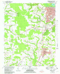 1981 Greenville SW1982 Print · USGSPitt County south of the Tar River was entering a period of suburban growth in the early eighties. Genealogists and local historians can locate early schools and churches including St Gabriel Sch, Robinson Sch, and Reedy Branch Ch.2 unique versions available
 - 1982 Map of Greenville SE
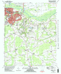 1982 Greenville SE1982 Print · USGSThe southeastern expansion of the Greenville area is captured here in the early eighties, showcasing the city's growth alongside the Tar River. Genealogists can trace family names at Worthingtons Crossroads or find legacy sites like Old Simpson Cem and Red Banks Ch.
 - 1982 Map of Ayden, 1983 Print
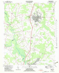 1982 Ayden1983 Print · USGSNorth Carolina's eastern coastal plain is captured here in the early eighties as the Seaboard Coast Line linked thriving rail towns. Genealogists and local historians can trace family roots through numerous country landmarks like Jackson Cem, Little Cr Ch, and the settlement of Hanrahan.
 - 1985 Map of Rocky Mount
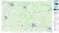 1985 Rocky Mount1985 Print · USGSThe eastern North Carolina coastal plain in the mid-eighties shows a landscape defined by its river-and-rail heritage. Genealogists and local historians can trace the development of Rocky Mount, Greenville, and Wilson, or locate landmarks like East Carolina University and the Voice of America site.2 unique versions available
 - 1985 Map of Kinston
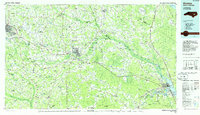 1985 Kinston1985 Print · USGSCoastal plain life and Cold War infrastructure meet in the mid-eighties as the Neuse River winds through agricultural heartlands. Researchers can locate family landmarks like Falling Creek Cem, old milling sites such as Tulls Mill, and the massive Voice of America Radio Towers.2 unique versions available
 - 1998 Map of Greenville SE, 2001 Print
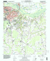 1998 Greenville SE2001 Print · USGSSoutheast of Greenville in the late 1990s, the growing campus of East Carolina University meets the rural crossroads of Pitt County. Genealogists and historians can trace numerous rural cemeteries and small communities like Hollywood Crossroads, Simpson, and Galloway Crossroads.
 - 1998 Map of Greenville SW, 2001 Print
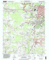 1998 Greenville SW2001 Print · USGSPitt County's growth is captured here in the late nineties as Greenville expands south toward Winterville. Genealogists and local historians can locate specific community landmarks like Red Oak Ch, Sadie Saulter Sch, and the rural junction at Hines Crossroads.
 - 2010 Map of Ayden, 2010 Print
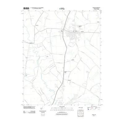 2010 Ayden2010 Print · USGSCoastal plain agriculture and modern community growth intersect in Pitt County during the early twenty-first century. Genealogists and local researchers can pinpoint family landmarks including Artis Cemetery, the rural crossroads of Scuffleton, and the winding banks of Contentnea Creek.
 - 2010 Map of Greenville SE, 2010 Print
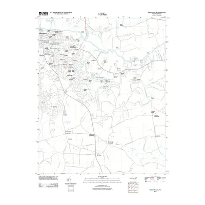 2010 Greenville SE2010 Print · USGSGreenville and its eastern suburbs are shown in detail during a period of significant growth south of the Tar River. Local historians can trace the development of the University campus and find landmarks like the Pitt County Poor Farm and Old Simpson Cemetery.
 - 2010 Map of Greenville SW, 2010 Print
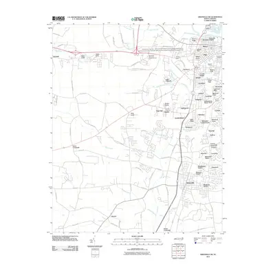 2010 Greenville SW2010 Print · USGSGreenville is shown during a period of rapid suburban growth in the early 2000s, where traditional farmsteads meet expanding medical and university campuses. Researchers can trace the development of numerous local subdivisions alongside older landmarks like Glenwood Cemetery and Tucker Farms.
 - 2013 Map of Greenville SE, 2013 Print
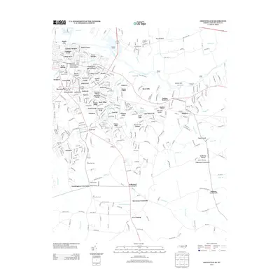 2013 Greenville SE2013 Print · USGSGreenville is shown here during a period of significant suburban growth and institutional expansion in the early twenty-first century. Researchers can trace the layout of the East Carolina University campus or locate the historical Pitt County Poor Farm and several old river landings like Barber Landing.
 - 2013 Map of Greenville SW, 2013 Print
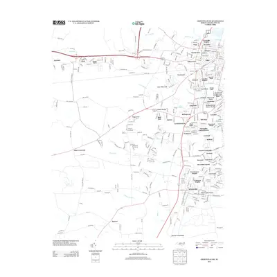 2013 Greenville SW2013 Print · USGSPitt County's transition from rural crossroads to suburban residential clusters is captured here just over a decade ago. Genealogists and local historians can trace the evolution of old family lands like Green Farm and Tucker Farms or locate established neighborhoods in Winterville and Frog Level.
 - 2013 Map of Ayden, 2013 Print
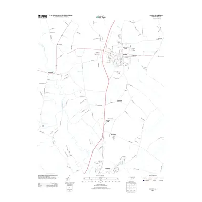 2013 Ayden2013 Print · USGSPitt County's agricultural heartland is documented in the early twenty-first century, centered on the growing town of Ayden. Genealogists and local historians can trace family-named landmarks and rural settlements from Scuffleton and Hanrahan to the edges of Grifton.
 - 2016 Map of Greenville SW, 2016 Print
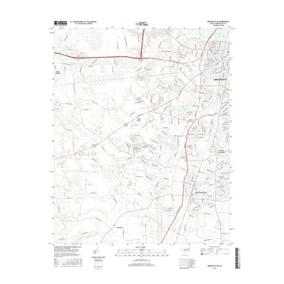 2016 Greenville SW2016 Print · USGSPitt County's evolving landscape southwest of the city is captured here in the mid-2010s as suburban growth reaches into traditional rural areas. Genealogists and local historians can trace the development around Winterville, Frog Level, and the historic Brownhill Cemetery.
 - 2016 Map of Ayden, 2016 Print
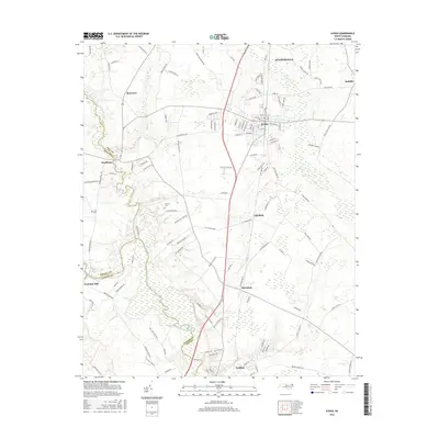 2016 Ayden2016 Print · USGSThe rural communities of Ayden and Grifton are captured in the mid-2010s as they bridge the borders of Pitt, Greene, and Lenoir counties. Researchers can trace family sites like Artis Cemetery, follow the banks of Contentnea Creek, or locate the crossroads of Scuffleton and Hanrahan.
 - 2016 Map of Greenville SE, 2016 Print
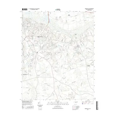 2016 Greenville SE2016 Print · USGSSoutheast of Greenville in the mid-2010s, the landscape is defined by the dense wetlands of the Coastal Plain and the eastward reach of the university. Researchers can trace family sites at Old Simpson Cemetery or locate the rural hubs of Bell Fork and Galloway Crossroads.
 - 2019 Map of Ayden, 2019 Print
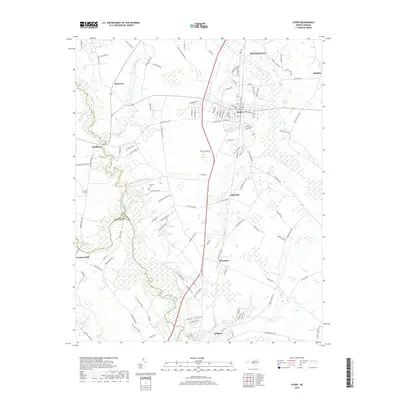 2019 Ayden2019 Print · USGSCoastal plain settlements and winding creek beds characterize this part of North Carolina during the late 2010s. Genealogists can locate family landmarks like Artis Cem and Jackson Cem or trace the early reaches of Ayden and Grifton.
 - 2019 Map of Greenville SW, 2019 Print
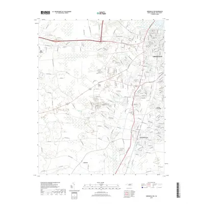 2019 Greenville SW2019 Print · USGSThe suburbs and rural reaches of Pitt County are documented here in 2019 as they expand south toward Winterville. Genealogists and local historians can pinpoint Brownhill Cem, the Pitt Community Coll campus, and the small community of Frog Level.
 - 2019 Map of Greenville SE, 2019 Print
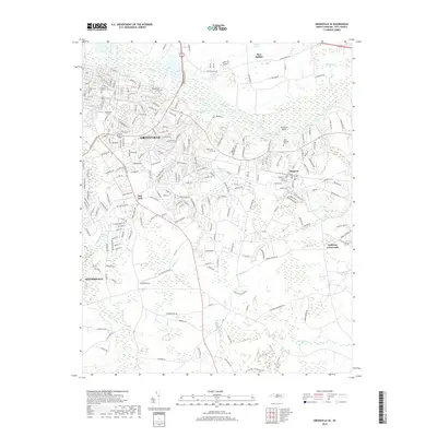 2019 Greenville SE2019 Print · USGSThe southeast reaches of Greenville and the winding Tar River are captured here in the late 2010s. Genealogists and local historians can locate several burial sites like Pinewood Cem or the Old Simpson Cem and trace the rural roads connecting Simpson and Galloway Crossroads.
Showing maps 1-25 of 28
Top cities near Winterville
- Greenville historical maps
- Kinston historical maps
- Ayden historical maps
- Farmville historical maps
- Fountain historical maps
- Hookerton historical maps
See more
Top neighborhoods of Winterville
Frequently asked questions
- What are the different types of historical maps available for Winterville?
- What is the oldest map of Winterville?
- Where can I purchase historical maps of Winterville for my home or office?
- Where can I download high-res historical maps of Winterville?
- Are there historical topographic maps available for Winterville?
- Is there historical aerial imagery available for Winterville?
- Where are historical maps of Winterville sourced from?