Old Maps of Archdale, North Carolina for Genealogy
Trace your family roots with 32 historic maps of Archdale. These high-res maps reveal old neighborhoods, homesites, landmarks, and streets — helping you uncover where your ancestors lived and how the area evolved over time.
- Explore historic neighborhoods: Identify where your relatives may have lived in the 1800s or 1900s.
- Compare maps over time: Trace the changes in streets, buildings, and landmarks for multi-generational research.
- Perfect for genealogy & ancestry research: Used by family historians and researchers to map out lineage and migration.
These maps are an incredible resource for exploring your personal connection to Archdale's past.
Archdale, NC maps
(32)- 1949 Map of High Point West, 1952 Print
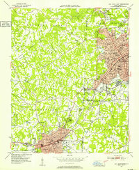 1949 High Point West1952 Print · USGSMid-century development connects High Point and Thomasville as the Southern railroad drives industrial and residential growth. Researchers can find many family-named landmarks and local schools like Ada Blair Sch, Finch Field, and the Conrad Memorial Ch Cem.2 unique versions available
 - 1950 Map of High Point East, 1964 Print
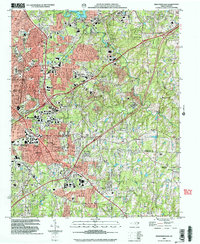
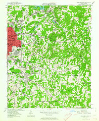 1950 High Point East1964 Print · USGSHigh Point and its surrounding townships show a mix of rapid post-war urban growth and rural heritage during the early 1950s. Genealogists and historians can trace family-named crossroads like Kirkman Crossroads or locate early institutions such as the County Sanatorium and High Point College.3 unique versions available
 - 1951 Map of High Point East
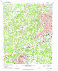
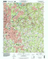
 1951 High Point East1951 Print · USGSGuilford and Randolph counties show a maturing Piedmont landscape in the early fifties, where textile-town growth meets established rural communities. Researchers can trace family sites at Green Hill Cemetery and Hickory Chapel, or locate industrial history near Freeman Mill and the Southern rail line.
 - 1953 Map of Raleigh, 1965 Print
 1953 Raleigh1965 Print · USGSCentral North Carolina in the early sixties shows a landscape of growing towns and military hubs before the full expansion of the interstate system. Genealogists can trace family footprints across the Piedmont through Wake Forest, Siler City, and the large Fort Bragg Military Reservation.4 unique versions available
 - 1953 Map of Charlotte, 1968 Print
 1953 Charlotte1968 Print · USGSThe North Carolina Piedmont and South Carolina borderlands are shown in detail during a period of significant growth and reservoir development. Trace the rail corridors of the Southern Railway or find family roots in towns like China Grove, Misenheimer, and Lincolnton.3 unique versions available
 - 1954 Map of Charlotte
 1954 Charlotte1954 Print · USGSThe North Carolina Piedmont in the mid-1950s shows a region of rapid growth and industrial expansion centered around Charlotte. Trace the era's infrastructure through the Southern railroad lines and locate significant landmarks like the Charlotte Naval Ammunition Depot and Lake Norman.2 unique versions available
 - 1954 Map of Raleigh
 1954 Raleigh1954 Print · USGSThe North Carolina Piedmont and Sandhills are captured in the mid-fifties during a period of steady regional growth. Genealogists and historians can trace the development of towns like Siler City or locate landmarks such as Falls of Neuse and Camp Mackall.
 - 1960 Map of Charlotte
 1960 Charlotte1960 Print · USGSMid-century North Carolina and South Carolina meet in this 1960 survey of the Piedmont's industrial and textile heartland. Trace the growth of Charlotte alongside historic landmarks like Kings Mountain National Military Park and the Charlotte Naval Ammunition Depot.2 unique versions available
 - 1962 Map of Charlotte
 1962 Charlotte1962 Print · USGSThe North Carolina Piedmont in the early sixties showcases a landscape transformed by massive reservoirs and industrial growth. Researchers can trace the development of Lake Norman, locate the Charlotte Naval Ammunition Depot, or find family landmarks like Wesley Chapel and Brown & Norcott Mills.
 - 1969 Map of High Point West, 1973 Print
 1969 High Point West1973 Print · USGSThe industrial corridor between High Point and Thomasville is captured here in the late sixties as urban growth began to bridge the county lines. Genealogists and local historians can locate legacy institutions like Zion Ch, Oakwood Cem, and the specialized High Point Thomasville and Denton RR.2 unique versions available
 - 1970 Map of Glenola, 1973 Print
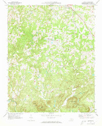 1970 Glenola1973 Print · USGSRandolph County's rural landscape is depicted here in the early seventies, showing a network of small crossroad communities and mountain ridges. Genealogists can locate family landmarks like Poplar Ridge Ch, Glenola, and the Covered Bridge over the Little Uwharrie River.2 unique versions available
 - 1977 Map of High Point West, 1979 Print
 1977 High Point West1979 Print · USGSThe Piedmont's industrial heart comes into focus in the late 1970s, showcasing the urban expansion between High Point and Thomasville. Researchers can trace old property lines and the early residential footprint of Oakview near the banks of Abbotts Creek.
 - 1984 Map of Chapel Hill, 1985 Print
 1984 Chapel Hill1985 Print · USGSNorth Carolina’s Piedmont and the northern reaches of the Uwharrie Mountains are captured here in the mid-eighties. Genealogists can trace family roots through rural landmarks like Union Chapel or locate old rail stops along the Seaboard line.
 - 1985 Map of Salisbury, 1986 Print
 1985 Salisbury1986 Print · USGSNorth Carolina’s industrial Piedmont region comes into focus during the mid-eighties as textile and rail towns expanded. Genealogists and historians can locate rural landmarks like Davidson College and Boones Cave State Park or trace the Southern Railway through Lexington and Salisbury.2 unique versions available
 - 1993 Map of High Point West, 1999 Print
 1993 High Point West1999 Print · USGSThe industrial corridor between Davidson and Guilford counties is shown here during the late twentieth century. Genealogists and local historians can trace the growth of High Point and Thomasville, locating landmarks from Westchester Academy to Hedgecock Chapel.
 - 1993 Map of High Point East, 1999 Print
 1993 High Point East1999 Print · USGSCentral North Carolina settlement and development are charted here as the suburbs of HIGH POINT reach into the surrounding countryside. Genealogists can trace family footprints through sites like Green Hill Cem, McCain Sch, and churches such as Friendly Ch.
 - 2002 Map of High Point East, 2004 Print
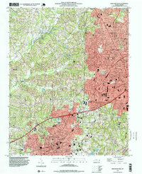
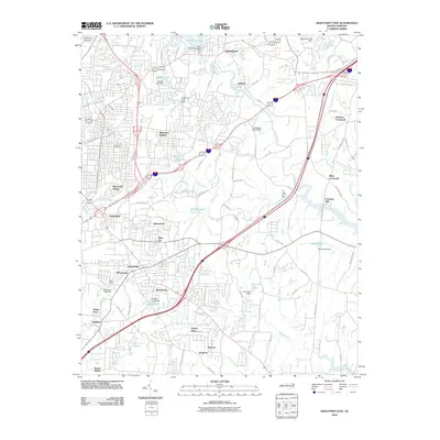
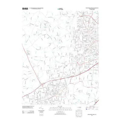
 2002 High Point East2004 Print · USGSHigh Point and its surrounding suburbs were in a phase of significant modern growth at the turn of the millennium. Researchers can trace the development of High Point University and find local landmarks like Green Hill Cem, Freeman Mill, and the community of Archdale.
 - 2010 Map of High Point West, 2010 Print
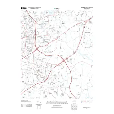
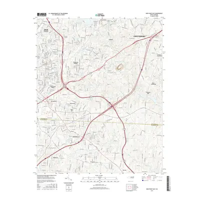
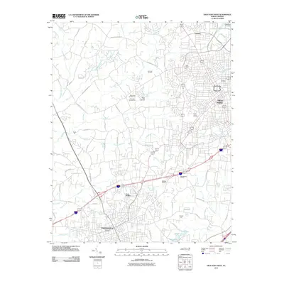 2010 High Point West2010 Print · USGSCovers Archdale, including High Point, Thomasville, and other nearby areas
 - 2010 Map of High Point East, 2010 Print
 2010 High Point East2010 Print · USGSCovers Archdale, including Greensboro, High Point, and other nearby areas
 - 2010 Map of Glenola, 2010 Print
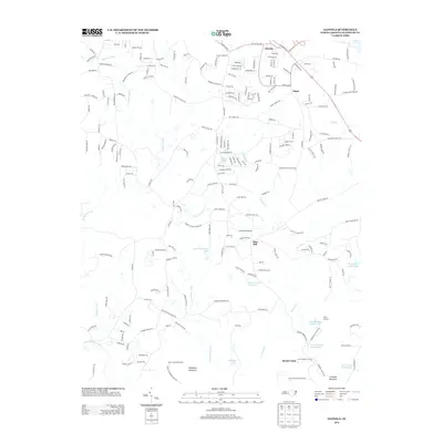
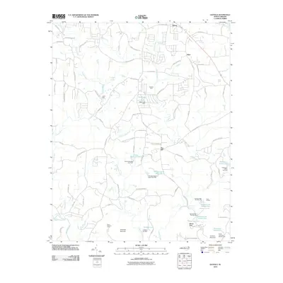 2010 Glenola2010 Print · USGSCovers Archdale, including Trinity, Edgar, and other nearby areas
 - 2013 Map of High Point East, 2013 Print
 2013 High Point East2013 Print · USGSCovers Archdale, including Greensboro, High Point, and other nearby areas
 - 2013 Map of Glenola, 2013 Print
 2013 Glenola2013 Print · USGSCovers Archdale, including Trinity, Edgar, and other nearby areas
 - 2013 Map of High Point West, 2013 Print
 2013 High Point West2013 Print · USGSCovers Archdale, including High Point, Thomasville, and other nearby areas
 - 2016 Map of High Point East, 2016 Print
 2016 High Point East2016 Print · USGSCovers Archdale, including Greensboro, High Point, and other nearby areas
 - 2016 Map of Glenola, 2016 Print
 2016 Glenola2016 Print · USGSCovers Archdale, including Trinity, Edgar, and other nearby areas
Showing maps 1-25 of 32
Top cities near Archdale
- Greensboro historical maps
- Winston-Salem historical maps
- High Point historical maps
- Thomasville historical maps
- Asheboro historical maps
- Kernersville historical maps
See more
Top neighborhoods of Archdale
- Roxana historical maps
- Westwood historical maps
- Kingsfield historical maps
- Robins Nest historical maps
- Ravenwood historical maps
- Royal Pines historical maps
Frequently asked questions
- What are the different types of historical maps available for Archdale?
- What is the oldest map of Archdale?
- Where can I purchase historical maps of Archdale for my home or office?
- Where can I download high-res historical maps of Archdale?
- Are there historical topographic maps available for Archdale?
- Is there historical aerial imagery available for Archdale?
- Where are historical maps of Archdale sourced from?