Old Maps of Stone Gables, Trinity for Hiking & Exploration
Hike through history with 12 historic maps of Stone Gables. Explore old trails, ghost towns, and forgotten backroads — perfect for outdoor adventurers and local explorers.
- Rediscover forgotten places: Map out old mining camps, roads, and footpaths that no longer exist on modern maps.
- Layer with modern tools: Combine with LiDAR or satellite views to plan hikes through historical terrain.
- Made for exploration: Popular among hikers, overlanders, and local history lovers.
Use these maps to find adventure and explore the hidden past of Stone Gables.
Stone Gables, Trinity maps
(12)- 1951 Map of Fair Grove, 1952 Print
 1951 Fair Grove1952 Print · USGSDavidson County in the early fifties is mapped here as a network of rail-side stations and rural parish life. Genealogists can locate family landmarks like Hannersville Station, Loflin Store, and Clarksbury Ch along the historic rail corridors.4 unique versions available
 - 1953 Map of Charlotte, 1968 Print
 1953 Charlotte1968 Print · USGSThe North Carolina Piedmont and South Carolina borderlands are shown in detail during a period of significant growth and reservoir development. Trace the rail corridors of the Southern Railway or find family roots in towns like China Grove, Misenheimer, and Lincolnton.3 unique versions available
 - 1954 Map of Charlotte
 1954 Charlotte1954 Print · USGSThe North Carolina Piedmont in the mid-1950s shows a region of rapid growth and industrial expansion centered around Charlotte. Trace the era's infrastructure through the Southern railroad lines and locate significant landmarks like the Charlotte Naval Ammunition Depot and Lake Norman.2 unique versions available
 - 1960 Map of Charlotte
 1960 Charlotte1960 Print · USGSMid-century North Carolina and South Carolina meet in this 1960 survey of the Piedmont's industrial and textile heartland. Trace the growth of Charlotte alongside historic landmarks like Kings Mountain National Military Park and the Charlotte Naval Ammunition Depot.2 unique versions available
 - 1962 Map of Charlotte
 1962 Charlotte1962 Print · USGSThe North Carolina Piedmont in the early sixties showcases a landscape transformed by massive reservoirs and industrial growth. Researchers can trace the development of Lake Norman, locate the Charlotte Naval Ammunition Depot, or find family landmarks like Wesley Chapel and Brown & Norcott Mills.
 - 1977 Map of Fair Grove, 1979 Print
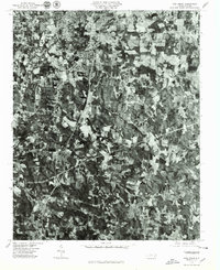 1977 Fair Grove1979 Print · USGSThe Davidson County landscape appears in sharp photographic detail during the late seventies, showing the growth of the Piedmont triad. Researchers can trace land use and homestead locations near Fair Grove, Glen Anna, and along the Little Uwharrie River.
 - 1985 Map of Salisbury, 1986 Print
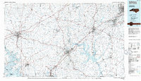 1985 Salisbury1986 Print · USGSNorth Carolina’s industrial Piedmont region comes into focus during the mid-eighties as textile and rail towns expanded. Genealogists and historians can locate rural landmarks like Davidson College and Boones Cave State Park or trace the Southern Railway through Lexington and Salisbury.2 unique versions available
 - 2010 Map of Fair Grove, 2010 Print
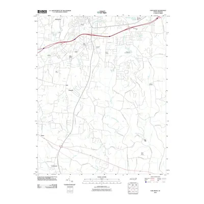 2010 Fair Grove2010 Print · USGSDavidson County at the dawn of the 2010s shows a landscape of clustered hamlets and private airfields connected by winding Piedmont roads. Genealogists and local historians can trace family-named sites from Holly Hill Cemetery to the old settlement at Fuller Mill.
 - 2013 Map of Fair Grove, 2013 Print
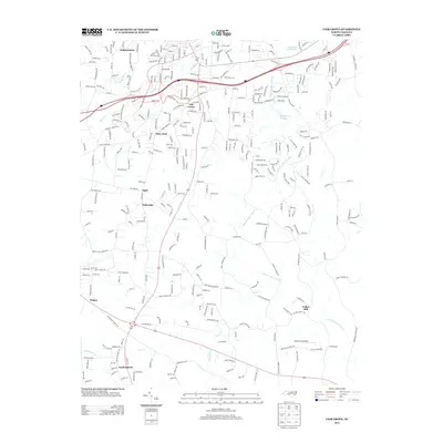 2013 Fair Grove2013 Print · USGSDavidson County's residential and rural landscape is shown here as it appeared in the early 2010s. Researchers can locate family-named communities and crossroads like Gordontown, Johnsontown, and Fullerdale while tracing the course of the Little Uwharrie River.
 - 2016 Map of Fair Grove, 2016 Print
 2016 Fair Grove2016 Print · USGSDavidson and Randolph Counties are shown here during a period of modern residential growth amidst deep-rooted Piedmont settlements. Researchers can locate historic community centers like Fair Grove, Fuller Mill, and burial sites including Andrews Grove Cem.
 - 2019 Map of Fair Grove, 2019 Print
 2019 Fair Grove2019 Print · USGSDavidson and Randolph Counties are captured here during a period of modern growth among established rural crossroads. Genealogists can locate family sites near Mills Home Cem, Fuller Mill, and the many small communities like Glen Anna and Walser.
 - 2022 Map of Fair Grove, 2022 Print
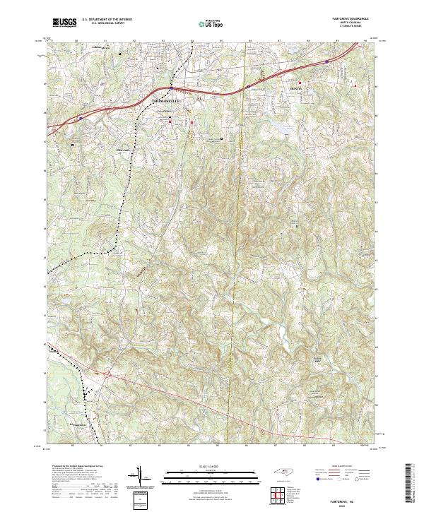 2022 Fair Grove2022 Print · USGSThe Davidson and Randolph county border comes into focus in this recent survey of the North Carolina Piedmont. Researchers can trace family roots through the Fair Grove Methodist Church Cem, find the namesake Fuller Mill, and explore the growth of Thomasville.
End of results
Showing maps 1-12 of 12
Frequently asked questions
- What are the different types of historical maps available for Stone Gables?
- What is the oldest map of Stone Gables?
- Where can I purchase historical maps of Stone Gables for my home or office?
- Where can I download high-res historical maps of Stone Gables?
- Are there historical topographic maps available for Stone Gables?
- Is there historical aerial imagery available for Stone Gables?
- Where are historical maps of Stone Gables sourced from?