Old Maps of Cognac, North Carolina for Genealogy
Trace your family roots with 12 historic maps of Cognac. These high-res maps reveal old neighborhoods, homesites, landmarks, and streets — helping you uncover where your ancestors lived and how the area evolved over time.
- Explore historic neighborhoods: Identify where your relatives may have lived in the 1800s or 1900s.
- Compare maps over time: Trace the changes in streets, buildings, and landmarks for multi-generational research.
- Perfect for genealogy & ancestry research: Used by family historians and researchers to map out lineage and migration.
These maps are an incredible resource for exploring your personal connection to Cognac's past.
Cognac, NC maps
(12)- 1942 Map of Rockingham, 1944 Print
 1942 Rockingham1944 Print · USGSThe North Carolina and South Carolina borderlands come alive in this wartime survey of the Pee Dee River valley. Researchers can trace historic mill sites like Burnt Factory Pond or locate family landmarks such as Roberdell and Old Sneedsboro.
 - 1949 Map of Marston, 1953 Print
 1949 Marston1953 Print · USGSNorth Carolina's Sandhills region is captured here just after the war, showing the rural crossroads of Richmond and Scotland counties. Genealogists can locate family landmarks like Watson Cem, Livingston Cem, and several country churches including Good Hope Ch.4 unique versions available
 - 1949 Map of Hamlet, 1954 Print
 1949 Hamlet1954 Print · USGSNorth Carolina's Sandhills come alive in the late 1940s, centered on the busy rail hub of Hamlet and its sprawling network of tracks. Researchers can trace numerous local schools and cemeteries, from Sneads Grove School to the Tabernacle Cemetery.2 unique versions available
 - 1953 Map of Florence, 1964 Print
 1953 Florence1964 Print · USGSThe Carolina borderlands in the mid-fifties were a landscape of vast river swamps and rising rail towns. Trace the legacy of the Seaboard Air Line through Florence or explore the wetlands surrounding Lake Waccamaw and the Green Swamp.3 unique versions available
 - 1954 Map of Florence
 1954 Florence1954 Print · USGSThe Carolinas borderlands come alive in the early fifties, showing the vital rail-and-river networks of the coastal plain. Genealogists can trace family footprints across the Green Swamp or through settlements like Red Springs, Chadbourn, and McColl.
 - 1976 Map of Marston, 1978 Print
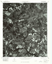 1976 Marston1978 Print · USGSMarston and the surrounding Carolina Sandhills are shown in detail during the mid-seventies via this aerial orthophotoquad. You can trace the rural boundaries of Marston and Cognac or locate the wooded shores of Gum Swamp Lake.
 - 1983 Map of Laurinburg, 1984 Print
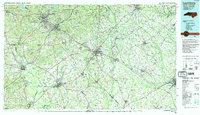 1983 Laurinburg1984 Print · USGSThe Carolina borderlands come into focus in the early 1980s, showcasing a landscape defined by the Sandhills Game Land and major river systems. Genealogists and rail historians can trace the paths of the Seaboard Coast Line Railroad through Hamlet or locate St Andrews College and Cheraw State Park.2 unique versions available
 - 2010 Map of Marston, 2010 Print
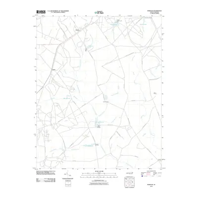 2010 Marston2010 Print · USGSNorth Carolina's Sandhills region near Marston and Cognac is shown here in the early twenty-first century. Researchers can trace family sites at the Watson Cemetery and explore a landscape of managed waters like Gum Swamp Lake and McLeods Lake.
 - 2013 Map of Marston, 2013 Print
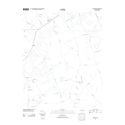 2013 Marston2013 Print · USGSMarston and Cognac are shown here in the early twenty-first century, surrounded by the creeks and game lands of the North Carolina Sandhills. Researchers can trace local landmarks like Marston Poultry Farm, McLeods Lake, and Kinney Cameron Lake.
 - 2016 Map of Marston, 2016 Print
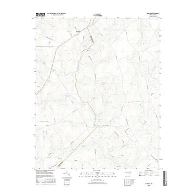 2016 Marston2016 Print · USGSThe Carolina Sandhills come alive in this 2010s survey of the Richmond and Scotland County line, where the small communities of Marston and Cognac anchor a landscape of lakes and wetlands. Researchers can trace the paths of Gum Swamp Cr and locate family landmarks like Livingston Cem and Watson Cem.
 - 2019 Map of Marston, 2019 Print
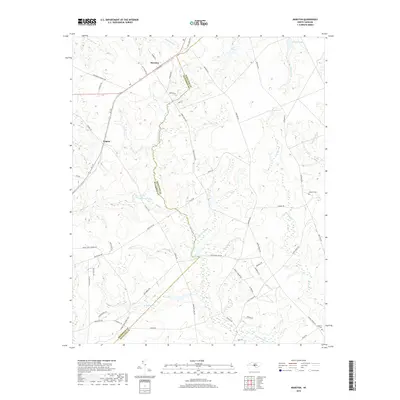 2019 Marston2019 Print · USGSThe North Carolina Sandhills are documented in this recent survey of the Richmond and Scotland county line. Researchers can locate Marston, Cognac, and local burial sites like Watson Cem and Livingston Cem among the wetlands of Gum Swamp.
 - 2022 Map of Marston, 2022 Print
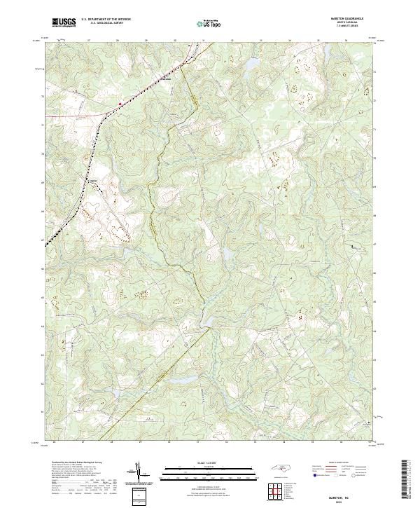 2022 Marston2022 Print · USGSThe borderlands of Richmond and Scotland counties appear here in the early 2020s, showing a landscape shaped by rural roads and expansive wetlands. Researchers can locate family landmarks such as Watson Cem and Livingston Cem or trace the waters of Gum Swamp Cr.
End of results
Showing maps 1-12 of 12
Top cities near Cognac
- Pinehurst historical maps
- Laurinburg historical maps
- Southern Pines historical maps
- Rockingham historical maps
- Hamlet historical maps
- Aberdeen historical maps
See more
Frequently asked questions
- What are the different types of historical maps available for Cognac?
- What is the oldest map of Cognac?
- Where can I purchase historical maps of Cognac for my home or office?
- Where can I download high-res historical maps of Cognac?
- Are there historical topographic maps available for Cognac?
- Is there historical aerial imagery available for Cognac?
- Where are historical maps of Cognac sourced from?