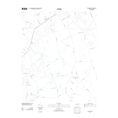
2013 Map of Marston
USGS Topo · Published 2013About this map
Marston and the small community of Cognac sit at the center of this rural Richmond County landscape, where the Sandhills terrain is defined by an intricate network of creeks and managed game lands. The hydrologic pattern here is dense, with Gum Swamp Cr and Hitchcock Cr feeding several established bodies of water including Kinney Cameron Lake and McLeods Lake. This 2013 survey illustrates the modern agricultural and conservation footprint of the region, specifically noting the Marston Poultry Farm and the extensive boundaries of the Sandhillss Game Mang Area. Local transit follows long-established routes such as Marston Rd and Hoffman Rd, which connect these small settlements to the surrounding timber and game lands. The map preserves the specific locations of family-named features like Crawford Lake and Towers Fork, providing essential geographic context for researchers of the area.
Find a feature on this map
75 named features on this map. Tap any name to fly to it.
Don’t see what you’re looking for? This feature index may not catch every label — zoom into the map to look around manually.
Map Details
Editions of this 2013 Marston Map
This is the sole edition of this map. No revisions or reprints were ever made.
Other maps of this area

1942 · Troy
USGS Topo · 1:125,000

1942 · Rockingham
USGS Topo · 1:125,000

1948 · Southern Pines
USGS Topo · 1:62,500

1948 · Pinebluff
USGS Topo · 1:24,000

1949 · Gibson
USGS Topo · 1:24,000

1949 · Millstone Lake
USGS Topo · 1:24,000

1949 · Ghio
USGS Topo · 1:24,000

1949 · Laurinburg
USGS Topo · 1:24,000

1949 · Silver Hill
USGS Topo · 1:24,000

1949 · Hoffman
USGS Topo · 1:24,000