Old Maps of Allenton, North Carolina for Academic Research
Study the evolution of Allenton with 11 high-resolution historic maps. Whether you're teaching, researching, or modeling changes in land use, these maps provide essential visual documentation of urban, environmental, and geographic change.
- Analyze long-term change: Track patterns in development, transportation, and natural features.
- Ideal for environmental or urban studies: Support academic projects with primary historical map data.
- Use in the classroom or lab: Educators and researchers rely on these maps to bring historical context to life.
These maps are a powerful tool for teaching, research, and visualizing how Allenton has changed over the decades.
Allenton, NC maps
(11)- 1953 Map of Florence, 1964 Print
 1953 Florence1964 Print · USGSThe Carolina borderlands in the mid-fifties were a landscape of vast river swamps and rising rail towns. Trace the legacy of the Seaboard Air Line through Florence or explore the wetlands surrounding Lake Waccamaw and the Green Swamp.3 unique versions available
 - 1954 Map of Florence
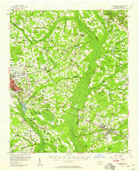
 1954 Florence1954 Print · USGSThe Carolinas borderlands come alive in the early fifties, showing the vital rail-and-river networks of the coastal plain. Genealogists can trace family footprints across the Green Swamp or through settlements like Red Springs, Chadbourn, and McColl.
 - 1957 Map of Bladenboro, 1958 Print
 1957 Bladenboro1958 Print · USGSCoastal plain swamp lands and small railroad towns meet in the 1950s along the border of Robeson and Bladen counties. Genealogists can trace family landmarks like Floyd Temple Ch, the Littlefield High Sch, and the historic path of the Old Stage Road.
 - 1982 Map of Elizabethtown, 1983 Print
 1982 Elizabethtown1983 Print · USGSSoutheastern North Carolina's coastal plain is captured here in the early eighties, showcasing a landscape defined by the Cape Fear River and mysterious Carolina Bays. Genealogists and researchers can trace the rail network of the Seaboard Coast Line through rural communities like Autryville, Ivanhoe, and the recreational hub of White Lake.
 - 1986 Map of Southeast Lumberton, 1987 Print
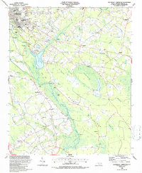 1986 Southeast Lumberton1987 Print · USGSSoutheast of Lumberton in the mid-1980s, the landscape is a complex puzzle of river bluffs and mysterious Carolina bays. Genealogists and local historians can trace rural communities around Smyrna Ch, Long Branch Sch, and the landings along the Lumber River.
 - 1997 Map of Southeast Lumberton, 2000 Print
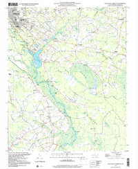 1997 Southeast Lumberton2000 Print · USGSSoutheast of Lumberton in the late nineties, the landscape was a mosaic of Carolina bays and riverside landings along the Lumber River. Genealogists and local historians can trace legacy sites like the Long Branch Sch, Robeson Memorial Park, and the Warwick Mill Pond area.
 - 2010 Map of Southeast Lumberton, 2010 Print
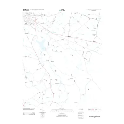
 2010 Southeast Lumberton2010 Print · USGSCovers Allenton, including Lumberton, Hestertown, and other nearby areas
 - 2013 Map of Southeast Lumberton, 2013 Print
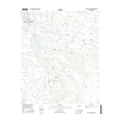
 2013 Southeast Lumberton2013 Print · USGSCovers Allenton, including Lumberton, Hestertown, and other nearby areas
 - 2016 Map of Southeast Lumberton, 2016 Print
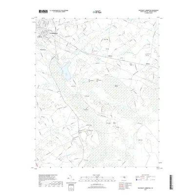
 2016 Southeast Lumberton2016 Print · USGSCovers Allenton, including Lumberton, Hestertown, and other nearby areas
 - 2019 Map of Southeast Lumberton, 2019 Print
 2019 Southeast Lumberton2019 Print · USGSCovers Allenton, including Lumberton, Hestertown, and other nearby areas
 - 2022 Map of Southeast Lumberton, 2022 Print
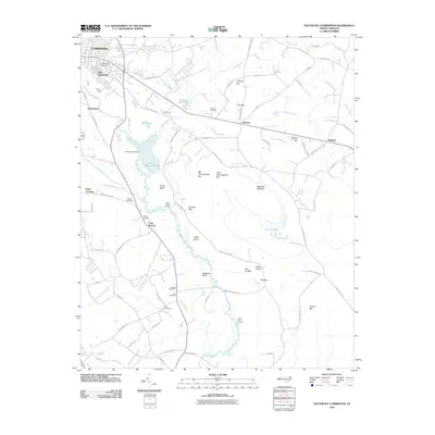
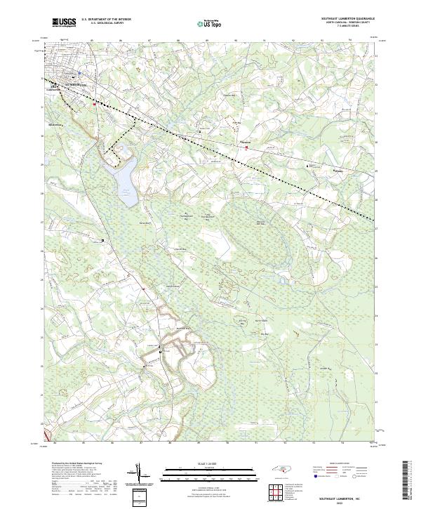 2022 Southeast Lumberton2022 Print · USGSCoastal plain wetlands and small communities define the area southeast of Lumberton in the early 2020s. Researchers can locate family landmarks like Wishart Cem and Britt Cem, or trace the winding course of the Lumber River and Jacob Swamp.
End of results
Showing maps 1-11 of 11
Top cities near Allenton
- Lumberton historical maps
- Fairmont historical maps
- Bladenboro historical maps
- Rennert historical maps
- Butters historical maps
- Dublin historical maps
See more
Frequently asked questions
- What are the different types of historical maps available for Allenton?
- What is the oldest map of Allenton?
- Where can I purchase historical maps of Allenton for my home or office?
- Where can I download high-res historical maps of Allenton?
- Are there historical topographic maps available for Allenton?
- Is there historical aerial imagery available for Allenton?
- Where are historical maps of Allenton sourced from?