Old Maps of Parkton, North Carolina for Academic Research
Study the evolution of Parkton with 18 high-resolution historic maps. Whether you're teaching, researching, or modeling changes in land use, these maps provide essential visual documentation of urban, environmental, and geographic change.
- Analyze long-term change: Track patterns in development, transportation, and natural features.
- Ideal for environmental or urban studies: Support academic projects with primary historical map data.
- Use in the classroom or lab: Educators and researchers rely on these maps to bring historical context to life.
These maps are a powerful tool for teaching, research, and visualizing how Parkton has changed over the decades.
Parkton, NC maps
(18)- 1953 Map of Florence, 1964 Print
 1953 Florence1964 Print · USGSThe Carolina borderlands in the mid-fifties were a landscape of vast river swamps and rising rail towns. Trace the legacy of the Seaboard Air Line through Florence or explore the wetlands surrounding Lake Waccamaw and the Green Swamp.3 unique versions available
 - 1954 Map of Florence
 1954 Florence1954 Print · USGSThe Carolinas borderlands come alive in the early fifties, showing the vital rail-and-river networks of the coastal plain. Genealogists can trace family footprints across the Green Swamp or through settlements like Red Springs, Chadbourn, and McColl.
 - 1959 Map of Saint Pauls, 1961 Print
 1959 Saint Pauls1961 Print · USGSThe rural stretches of Cumberland and Robeson counties are captured here in the late fifties, showing a landscape defined by the Cape Fear River and its rail networks. Researchers can trace numerous country landmarks like Antioch Ch, Spring Hill Cem, and the timber bay of Gallberry Bay.2 unique versions available
 - 1972 Map of Parkton, 1976 Print
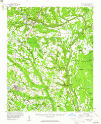
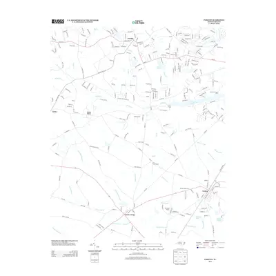
 1972 Parkton1976 Print · USGSParkton and the surrounding North Carolina swamps are captured in the early 1970s as the regional rail network still tied together rural communities. Researchers can trace family history through sites like Pittman Grove Ch, McNatts Sta, and the SEABOARD COAST LINE rail corridor.2 unique versions available
 - 1976 Map of Parkton, 1978 Print
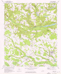
 1976 Parkton1978 Print · USGSRobeson County agricultural life is frozen in the mid-1970s in this detailed aerial study. Researchers can pinpoint property boundaries and rural development surrounding the towns of Parkton, Lumber Bridge, and Rockfish.
 - 1982 Map of Elizabethtown, 1983 Print
 1982 Elizabethtown1983 Print · USGSSoutheastern North Carolina's coastal plain is captured here in the early eighties, showcasing a landscape defined by the Cape Fear River and mysterious Carolina Bays. Genealogists and researchers can trace the rail network of the Seaboard Coast Line through rural communities like Autryville, Ivanhoe, and the recreational hub of White Lake.
 - 1983 Map of Laurinburg, 1984 Print
 1983 Laurinburg1984 Print · USGSThe Carolina borderlands come into focus in the early 1980s, showcasing a landscape defined by the Sandhills Game Land and major river systems. Genealogists and rail historians can trace the paths of the Seaboard Coast Line Railroad through Hamlet or locate St Andrews College and Cheraw State Park.2 unique versions available
 - 1986 Map of Hope Mills, 1987 Print
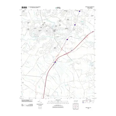
 1986 Hope Mills1987 Print · USGSCumberland County saw significant suburban and industrial transition in the mid-eighties as modern infrastructure met older rural foundations. You can trace family roots at Adcox Cem, locate the former Old Railroad Grade, or study community hubs like Hope Mills Lake and Stony Point Ch.2 unique versions available
 - 2010 Map of Parkton, 2010 Print
 2010 Parkton2010 Print · USGSCovers Parkton, including Fayetteville, Lumber Bridge, and other nearby areas
 - 2010 Map of Hope Mills, 2010 Print
 2010 Hope Mills2010 Print · USGSCovers Parkton, including Fayetteville, Hope Mills, and other nearby areas
 - 2013 Map of Hope Mills, 2013 Print
 2013 Hope Mills2013 Print · USGSCovers Parkton, including Fayetteville, Hope Mills, and other nearby areas
 - 2013 Map of Parkton, 2013 Print
 2013 Parkton2013 Print · USGSCovers Parkton, including Fayetteville, Lumber Bridge, and other nearby areas
 - 2016 Map of Parkton, 2016 Print
 2016 Parkton2016 Print · USGSCovers Parkton, including Fayetteville, Lumber Bridge, and other nearby areas
 - 2016 Map of Hope Mills, 2016 Print
 2016 Hope Mills2016 Print · USGSCovers Parkton, including Fayetteville, Hope Mills, and other nearby areas
 - 2019 Map of Hope Mills, 2019 Print
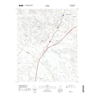 2019 Hope Mills2019 Print · USGSCovers Parkton, including Fayetteville, Hope Mills, and other nearby areas
 - 2019 Map of Parkton, 2019 Print
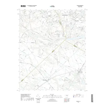 2019 Parkton2019 Print · USGSCovers Parkton, including Fayetteville, Lumber Bridge, and other nearby areas
 - 2022 Map of Parkton, 2022 Print
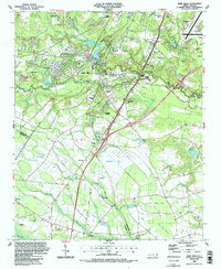
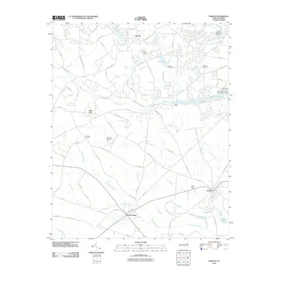
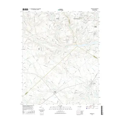
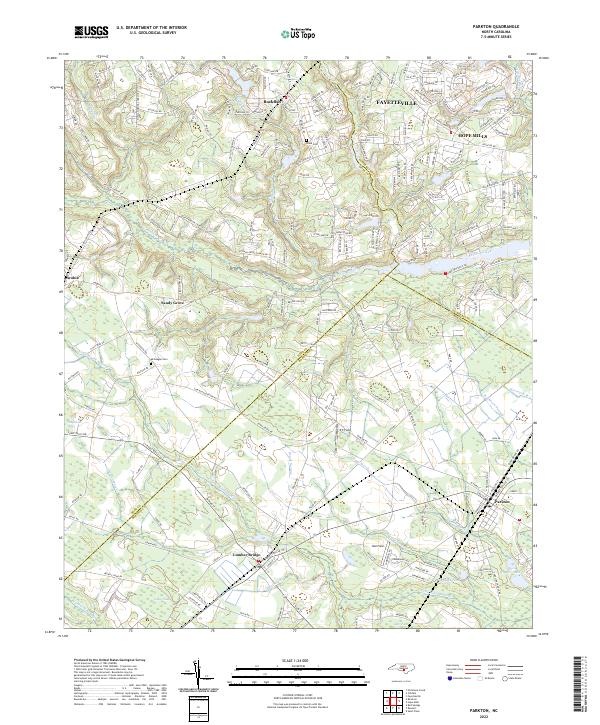 2022 Parkton2022 Print · USGSRobeson and Hoke counties appear here in the 2020s, showing the rural crossroads and swamp-linked settlements south of Fayetteville. Researchers can trace family history at McGougan Cem, locate the small airfields of ET Field, and map the wetlands of Bogue Swamp.
 - 2022 Map of Hope Mills, 2022 Print
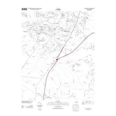
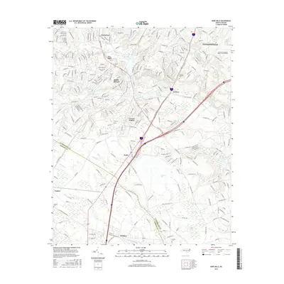
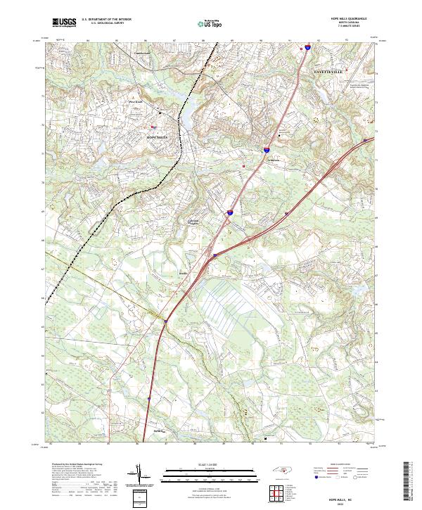 2022 Hope Mills2022 Print · USGSCumberland County enters the 2020s as a blend of growing residential hubs and ancient Carolina bay landscapes. Genealogists can trace local roots through Adcox Cem and Parnell Cem, or explore the unique geography of Gallberry Bay and Rockfish Creek.
End of results
Showing maps 1-18 of 18
Top cities near Parkton
- Fayetteville historical maps
- Lumberton historical maps
- Hope Mills historical maps
- Raeford historical maps
- Pembroke historical maps
- Rennert historical maps
See more
Frequently asked questions
- What are the different types of historical maps available for Parkton?
- What is the oldest map of Parkton?
- Where can I purchase historical maps of Parkton for my home or office?
- Where can I download high-res historical maps of Parkton?
- Are there historical topographic maps available for Parkton?
- Is there historical aerial imagery available for Parkton?
- Where are historical maps of Parkton sourced from?